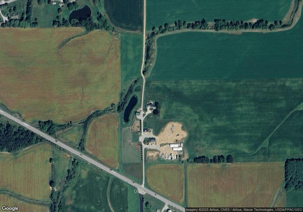
6609 Ashland Rd Wooster, OH 44691
Estimated Value: $290,000 - $332,914
About This Home
This home is located at 6609 Ashland Rd, Wooster, OH 44691 and is currently estimated at $307,305, approximately $128 per square foot. 6609 Ashland Rd is a home located in Wayne County with nearby schools including Northwestern Elementary School, Northwestern Middle School, and Northwestern High School.
Ownership History
We collect this data history from publicly available records. To have your information removed, we recommend requesting removal directly through your county’s website.
Purchase Details
Purchase Details
Purchase History
We collect this data history from publicly available records. To have your information removed, we recommend requesting removal directly through your county’s website.
| Date | Buyer | Sale Price | Title Company |
|---|---|---|---|
| $125,000 | None Available | ||
| -- | -- |
Tax History
We collect this data history from publicly available records. To have your information removed, we recommend requesting removal directly through your county’s website.
| Year | Tax Paid | Tax Assessment Tax Assessment Total Assessment is a certain percentage of the fair market value that is determined by local assessors to be the total taxable value of land and additions on the property. | Land | Improvement |
|---|---|---|---|---|
| 2025 | $2,208 | $67,830 | $18,960 | $48,870 |
| 2024 | $2,208 | $67,830 | $18,960 | $48,870 |
| 2023 | $2,110 | $67,830 | $18,960 | $48,870 |
| 2022 | $2,303 | $67,830 | $18,960 | $48,870 |
| 2021 | $2,307 | $67,830 | $18,960 | $48,870 |
| 2020 | $2,335 | $67,830 | $18,960 | $48,870 |
| 2019 | $1,914 | $45,090 | $17,150 | $27,940 |
| 2018 | $1,580 | $38,160 | $11,260 | $26,900 |
| 2017 | $1,570 | $38,080 | $11,260 | $26,820 |
| 2016 | $1,412 | $35,290 | $9,500 | $25,790 |
| 2015 | $1,393 | $35,290 | $9,500 | $25,790 |
| 2014 | $1,410 | $35,290 | $9,500 | $25,790 |
| 2013 | $1,496 | $36,340 | $10,850 | $25,490 |
Map
- 5852 W Old Lincoln Way
- 8633 Ashland Rd
- 4453 Blachleyville Rd
- 2445 S Elyria Rd
- 3678 Mechanicsburg Rd
- V/L #3 Rice Hill Rd
- 1704 Carlin Trail
- V/L #2 Rice Hill Rd
- V/L #4 Rice Hill Rd
- V/L #13 Rice Hill Rd
- V/L #1 Rice Hill Rd
- 1407 Venture Blvd
- 1667 Carlin Trail
- 1090 Mindy Ln Unit 1090
- 1460 W Highland Ave
- 2457 Barrington Way Unit 326
- 2457 Barrington Way Unit 317
- 1819 Saddle Brook Cir
- 1044 Patrick Place Unit 12
- 2360 Star Dr
- 6609 Ashland Rd
- 6633 Ashland Rd
- 0 Ashland Rd
- 6768 Lehr Rd
- 2235 N Firestone Rd
- 6968 Ashland Rd
- 6247 Ashland Rd
- 7159 Ashland Rd
- 1624 Rathburn Rd
- 6176 Ashland Rd
- 1859 N Firestone Rd
- 1697 N Firestone Rd
- 8520 Sterling
- 7512 Sterling
- 1631 N Firestone Rd
- 6138 Ashland Rd
- 7177 Ashland Rd
- 2057 Rathburn Rd
- 1586 Rathburn Rd
- 1817 Rathburn Rd
Ask me questions while you tour the home.