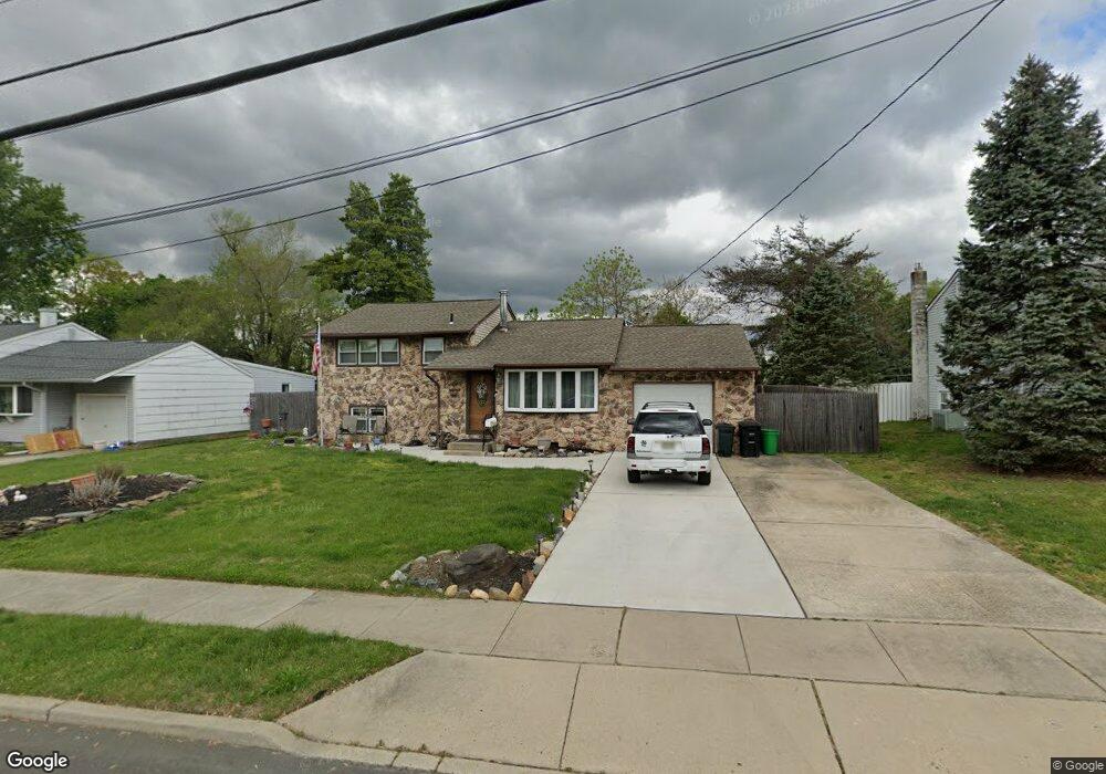
661 Cornell Ave Wenonah, NJ 08090
Deptford Township NeighborhoodEstimated Value: $238,816 - $409,000
Studio
--
Bath
1,418
Sq Ft
$236/Sq Ft
Est. Value
About This Home
This home is located at 661 Cornell Ave, Wenonah, NJ 08090 and is currently estimated at $335,204, approximately $236 per square foot. 661 Cornell Ave is a home located in Gloucester County with nearby schools including Deptford Township High School and St Margaret Regional School.
Ownership History
Date
Name
Owned For
Owner Type
Purchase Details
Closed on
Feb 27, 2018
Sold by
Martson Jeanne M and Estate Of Jack E Martson Jr
Bought by
Martson Jeannie M
Current Estimated Value
Create a Home Valuation Report for This Property
The Home Valuation Report is an in-depth analysis detailing your home's value as well as a comparison with similar homes in the area
Home Values in the Area
Average Home Value in this Area
Purchase History
| Date | Buyer | Sale Price | Title Company |
|---|---|---|---|
| Martson Jeannie M | -- | None Available |
Source: Public Records
Tax History
| Year | Tax Paid | Tax Assessment Tax Assessment Total Assessment is a certain percentage of the fair market value that is determined by local assessors to be the total taxable value of land and additions on the property. | Land | Improvement |
|---|---|---|---|---|
| 2025 | $5,783 | $161,300 | $31,900 | $129,400 |
| 2024 | $5,597 | $161,300 | $31,900 | $129,400 |
| 2023 | $5,597 | $161,300 | $31,900 | $129,400 |
| 2022 | $5,557 | $161,300 | $31,900 | $129,400 |
| 2021 | $5,228 | $161,300 | $31,900 | $129,400 |
| 2020 | $5,415 | $161,300 | $31,900 | $129,400 |
| 2019 | $5,312 | $161,300 | $31,900 | $129,400 |
| 2018 | $5,192 | $161,300 | $31,900 | $129,400 |
| 2017 | $5,054 | $161,300 | $31,900 | $129,400 |
| 2016 | $4,700 | $161,300 | $31,900 | $129,400 |
| 2015 | $4,547 | $161,300 | $31,900 | $129,400 |
| 2014 | $4,423 | $161,300 | $31,900 | $129,400 |
Source: Public Records
Map
Nearby Homes
- 117 Ashton Ct Unit 117
- 722 Glenside Dr
- 263 Barclay Ct
- 213 Barclay Ct
- 721 Dartmouth Dr
- 250 Amherst Ave
- 133 Buddy Powell Ln
- 100 Buddy Powell Ln
- 145 Buddy Powell Ln
- 607 Vassar Rd
- 238 Syracuse Ave
- 827 Saint Regis Ct
- 745 Dartmouth Dr
- 452 Durham Ct
- 440 Baylor Rd
- 445 Durham Ct Unit 445
- 592 College Blvd
- 452 College Blvd
- 313 Ogden Station Rd
- 490 Hamilton Rd
- 663 Cornell Ave
- 659 Cornell Ave
- 665 Cornell Ave
- 657 Cornell Ave
- 664 Cornell Ave
- 662 Cornell Ave
- 660 Cornell Ave
- 667 Cornell Ave
- 655 Cornell Ave
- 688 Montclair Ave
- 661 Miami Rd
- 659 Miami Rd
- 658 Cornell Ave
- 653 Cornell Ave
- 657 Miami Rd
- 686 Montclair Ave
- 669 Cornell Ave
- 655 Miami Rd
- 109 Ogden Station Rd
- 656 Cornell Ave
Your Personal Tour Guide
Ask me questions while you tour the home.