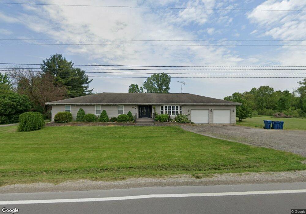
662 W Bemis Rd Saline, MI 48176
Estimated Value: $611,288 - $773,000
About This Home
This home is located at 662 W Bemis Rd, Saline, MI 48176 and is currently estimated at $676,572, approximately $201 per square foot. 662 W Bemis Rd is a home located in Washtenaw County with nearby schools including Harvest Elementary School, Heritage School, and Saline Middle School.
Ownership History
We collect this data history from publicly available records. To have your information removed, we recommend requesting removal directly through your county’s website.
Purchase Details
Home Financials for this Owner
Home Financials are based on the most recent Mortgage that was taken out on this home.Home Values in the Area
Average Home Value in this Area
Purchase History
We collect this data history from publicly available records. To have your information removed, we recommend requesting removal directly through your county’s website.
| Date | Buyer | Sale Price | Title Company |
|---|---|---|---|
| -- | None Available |
Mortgage History
We collect this data history from publicly available records. To have your information removed, we recommend requesting removal directly through your county’s website.
| Date | Status | Borrower | Loan Amount |
|---|---|---|---|
| Closed | $229,950 |
Tax History
We collect this data history from publicly available records. To have your information removed, we recommend requesting removal directly through your county’s website.
| Year | Tax Paid | Tax Assessment Tax Assessment Total Assessment is a certain percentage of the fair market value that is determined by local assessors to be the total taxable value of land and additions on the property. | Land | Improvement |
|---|---|---|---|---|
| 2025 | $5,090 | $248,228 | $0 | $0 |
| 2024 | $4,946 | $222,197 | $0 | $0 |
| 2023 | $4,719 | $210,000 | $0 | $0 |
| 2022 | $6,415 | $208,400 | $0 | $0 |
| 2021 | $6,237 | $207,800 | $0 | $0 |
| 2020 | $5,978 | $199,500 | $0 | $0 |
| 2019 | $6,127 | $194,100 | $194,100 | $0 |
| 2018 | $5,991 | $187,300 | $0 | $0 |
| 2017 | $5,526 | $184,100 | $0 | $0 |
| 2016 | $4,089 | $143,287 | $0 | $0 |
| 2015 | -- | $142,859 | $0 | $0 |
| 2014 | -- | $138,396 | $0 | $0 |
| 2013 | -- | $138,396 | $0 | $0 |
Map
- 5092 Rutland Dr Unit 71
- 7828 Fosdick Rd
- 5035 Rutland Dr
- 5043 Rutland Dr
- 5048 Rutland Dr
- 5052 Rutland Dr
- 5064 Rutland Dr
- 5071 Rutland Dr
- 6081 Lincolnshire Dr
- 1100 Longview Ln
- 834 Meghan Ct
- 7791 Whirlaway Dr
- 8757 Sydney Dr Unit 82
- 1145 W Bemis Rd
- 294 Shelby Ct
- 277 Brittany Ln Unit 15
- 8698 Warner Rd
- 1321 Gallery Pointe Dr
- 7085 Suncrest Dr
- 1294 Gallery Pointe Dr
Ask me questions while you tour the home.