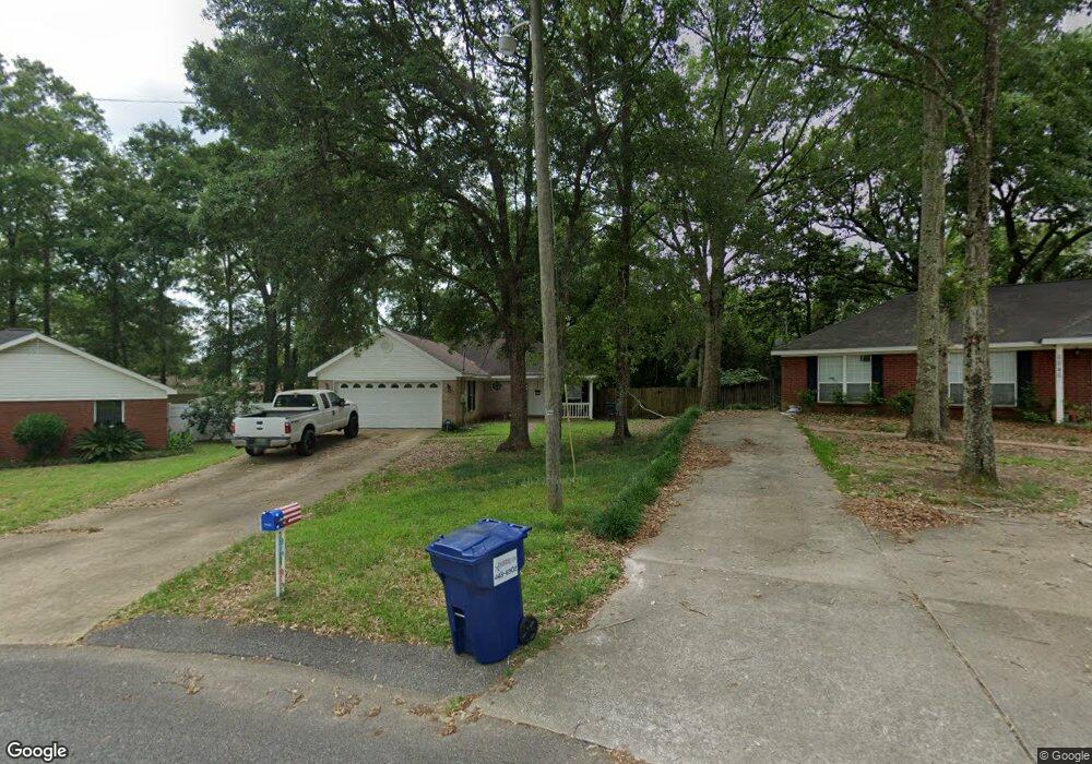
6631 Woodside Ct E Unit 5 Theodore, AL 36582
Westfield NeighborhoodEstimated Value: $181,000 - $243,000
About This Home
This home is located at 6631 Woodside Ct E Unit 5, Theodore, AL 36582 and is currently estimated at $219,190, approximately $160 per square foot. 6631 Woodside Ct E Unit 5 is a home located in Mobile County with nearby schools including Nan Gray Davis Elementary School, Katherine H Hankins Middle School, and Theodore High School.
Ownership History
We collect this data history from publicly available records. To have your information removed, we recommend requesting removal directly through your county’s website.
Purchase Details
Home Financials for this Owner
Home Financials are based on the most recent Mortgage that was taken out on this home.Purchase Details
Home Financials for this Owner
Home Financials are based on the most recent Mortgage that was taken out on this home.Purchase Details
Home Financials for this Owner
Home Financials are based on the most recent Mortgage that was taken out on this home.Purchase Details
Home Financials for this Owner
Home Financials are based on the most recent Mortgage that was taken out on this home.Home Values in the Area
Average Home Value in this Area
Purchase History
We collect this data history from publicly available records. To have your information removed, we recommend requesting removal directly through your county’s website.
| Date | Buyer | Sale Price | Title Company |
|---|---|---|---|
| $12,500 | None Listed On Document | ||
| $149,900 | Atc | ||
| $125,000 | None Available | ||
| $94,500 | -- |
Mortgage History
We collect this data history from publicly available records. To have your information removed, we recommend requesting removal directly through your county’s website.
| Date | Status | Borrower | Loan Amount |
|---|---|---|---|
| Open | $173,382 | ||
| Previous Owner | $151,414 | ||
| Previous Owner | $85,000 | ||
| Previous Owner | $97,335 |
Tax History
We collect this data history from publicly available records. To have your information removed, we recommend requesting removal directly through your county’s website.
| Year | Tax Paid | Tax Assessment Tax Assessment Total Assessment is a certain percentage of the fair market value that is determined by local assessors to be the total taxable value of land and additions on the property. | Land | Improvement |
|---|---|---|---|---|
| 2025 | $2,181 | $21,250 | $3,000 | $18,250 |
| 2024 | $2,181 | $19,780 | $2,800 | $16,980 |
| 2023 | $2,039 | $19,410 | $2,800 | $16,610 |
| 2022 | $1,628 | $16,780 | $2,800 | $13,980 |
| 2021 | $1,461 | $15,060 | $2,800 | $12,260 |
| 2020 | $1,252 | $12,910 | $2,800 | $10,110 |
| 2019 | $1,228 | $25,320 | $0 | $0 |
| 2018 | $1,168 | $24,080 | $0 | $0 |
| 2017 | $508 | $11,860 | $0 | $0 |
| 2016 | $491 | $11,500 | $0 | $0 |
| 2013 | $541 | $12,440 | $0 | $0 |
Map
- 6382 Woodside Dr N
- 6740 Barnes Dr E
- 6241 Woodside Dr
- 6780 Barnes Dr E
- 0 Nan Gray Davis Rd Unit 7732483
- 6157 Magnolia Trace N
- 6701 Browder Dr
- 6760 Barneswood Dr
- 6738 Barneswood Dr
- 6776 Barneswood Dr
- 6361 Rester Rd
- 7057 Arbor Dr
- 6795 Browder Dr
- 6500 Oaklane Dr
- 6711 Highmont Dr
- 0 Rester Rd
- 6028 Creek Side Trail
- 7215 Broadview Dr E
- 7078 Westfield Rd
- 6126 Stream Bank Dr
- 6620 Lauren Dr W
- 6610 Lauren Dr W
- 6630 Lauren Dr W
- 6621 Woodside Ct E
- 6611 Woodside Ct E
- 6631 Woodside Ct E
- 6600 Lauren Dr W
- 6640 Lauren Dr W
- 6635 Lauren Dr W
- 6390 Woodside Dr
- 6645 Lauren Dr W
- 6646 Woodside Ct E
- 6391 Woodside Dr
- 6650 Lauren Dr W
- 6591 Woodside Ct E
- 6590 Lauren Dr W
- 6423 Woodside Dr N
- 6380 Woodside Dr
- 6372 Woodside Dr S
- 6606 Woodside Ct E
Ask me questions while you tour the home.