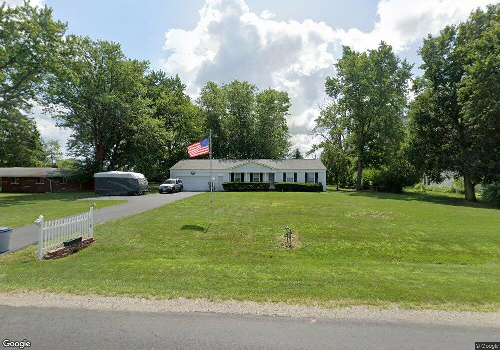
6677 Davis Rd Hilliard, OH 43026
Brown NeighborhoodEstimated Value: $343,541 - $496,000
3
Beds
2
Baths
1,661
Sq Ft
$253/Sq Ft
Est. Value
About This Home
This home is located at 6677 Davis Rd, Hilliard, OH 43026 and is currently estimated at $420,885, approximately $253 per square foot. 6677 Davis Rd is a home located in Franklin County with nearby schools including Alton Darby Elementary School, Hilliard Station Sixth Grade Elementary School, and Hilliard Memorial Middle School.
Ownership History
Date
Name
Owned For
Owner Type
Purchase Details
Closed on
Jan 28, 2022
Sold by
Butsko Linda M
Bought by
Butsko Linda M and Butsko William J
Current Estimated Value
Purchase Details
Closed on
Sep 10, 2021
Sold by
Estate Of Elmer Tussing
Bought by
Butsko Linda M
Purchase Details
Closed on
Aug 14, 1972
Bought by
Tussing Elmer and Tussing Bertie
Create a Home Valuation Report for This Property
The Home Valuation Report is an in-depth analysis detailing your home's value as well as a comparison with similar homes in the area
Home Values in the Area
Average Home Value in this Area
Purchase History
| Date | Buyer | Sale Price | Title Company |
|---|---|---|---|
| Butsko Linda M | -- | Zaino Law Group Lpa | |
| Butsko Linda M | -- | None Available | |
| Tussing Elmer | -- | -- |
Source: Public Records
Tax History
| Year | Tax Paid | Tax Assessment Tax Assessment Total Assessment is a certain percentage of the fair market value that is determined by local assessors to be the total taxable value of land and additions on the property. | Land | Improvement |
|---|---|---|---|---|
| 2025 | $5,454 | $89,670 | $23,800 | $65,870 |
| 2024 | $5,454 | $89,670 | $23,800 | $65,870 |
| 2023 | $4,790 | $89,670 | $23,800 | $65,870 |
| 2022 | $5,298 | $78,820 | $23,940 | $54,880 |
| 2021 | $5,301 | $78,820 | $23,940 | $54,880 |
| 2020 | $4,716 | $78,820 | $23,940 | $54,880 |
| 2019 | $4,740 | $68,990 | $20,830 | $48,160 |
| 2018 | $4,396 | $68,990 | $20,830 | $48,160 |
| 2017 | $4,511 | $68,990 | $20,830 | $48,160 |
| 2016 | $4,295 | $59,330 | $19,710 | $39,620 |
| 2015 | $4,064 | $59,330 | $19,710 | $39,620 |
| 2014 | $4,076 | $59,330 | $19,710 | $39,620 |
| 2013 | $1,852 | $56,490 | $18,760 | $37,730 |
Source: Public Records
Map
Nearby Homes
- 6541 Marshview Dr
- 3780 Aviary Loop
- 6201 Lampton Pond Dr
- 6886 Gelderland Dr
- 6960 Gelderland Dr
- 3984 Hill Park Rd Unit 11
- 5962 Heritage Lakes Dr
- 4101 Greenbelt Dr
- 4462 Kabarda Way
- 4319 Ahwick Green
- 6185 Ray's Way
- 6146 Ravenhill Rd
- 7400 Scioto Darby Creek Rd
- 3395 Heritage Oaks Dr
- 4506 Nonius Dr
- 4505 Nonius Dr
- 4535 Corsican E
- 4537 Corsican E
- 4509 Nonius Dr
- 4539 Corsican E
Your Personal Tour Guide
Ask me questions while you tour the home.