6686 Burning Tree Ave Cocoa, FL 32926
Canaveral Groves NeighborhoodEstimated Value: $295,816 - $404,000
About This Home
This home is located at 6686 Burning Tree Ave, Cocoa, FL 32926 and is currently estimated at $348,954, approximately $290 per square foot. 6686 Burning Tree Ave is a home located in Brevard County with nearby schools including Cocoa High School and Fairglen Elementary School.
Ownership History
We collect this data history from publicly available records. To have your information removed, we recommend requesting removal directly through your county’s website.
Purchase Details
Home Financials for this Owner
Home Financials are based on the most recent Mortgage that was taken out on this home.Home Values in the Area
Average Home Value in this Area
Purchase History
We collect this data history from publicly available records. To have your information removed, we recommend requesting removal directly through your county’s website.
| Date | Buyer | Sale Price | Title Company |
|---|---|---|---|
| $35,000 | Alliance Title Brevard Llc |
Mortgage History
We collect this data history from publicly available records. To have your information removed, we recommend requesting removal directly through your county’s website.
| Date | Status | Borrower | Loan Amount |
|---|---|---|---|
| Closed | $32,204 |
Tax History
We collect this data history from publicly available records. To have your information removed, we recommend requesting removal directly through your county’s website.
| Year | Tax Paid | Tax Assessment Tax Assessment Total Assessment is a certain percentage of the fair market value that is determined by local assessors to be the total taxable value of land and additions on the property. | Land | Improvement |
|---|---|---|---|---|
| 2025 | $1,033 | $76,910 | -- | -- |
| 2024 | $1,013 | $74,750 | -- | -- |
| 2023 | $1,013 | $72,580 | $0 | $0 |
| 2022 | $955 | $70,470 | $0 | $0 |
| 2021 | $957 | $68,420 | $0 | $0 |
| 2020 | $911 | $67,480 | $0 | $0 |
| 2019 | $859 | $65,970 | $0 | $0 |
| 2018 | $859 | $64,740 | $0 | $0 |
| 2017 | $860 | $63,410 | $0 | $0 |
| 2016 | $867 | $62,110 | $8,100 | $54,010 |
| 2015 | $868 | $61,680 | $8,100 | $53,580 |
| 2014 | $871 | $61,190 | $8,100 | $53,090 |
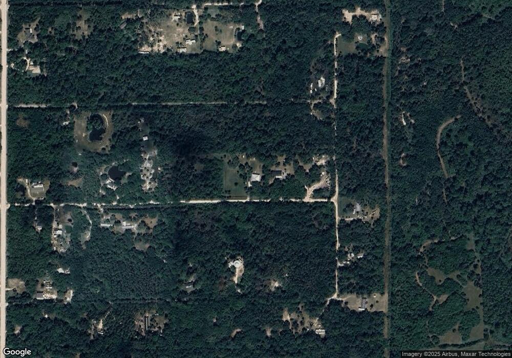
Map
- 0 Olkowski Ave Unit 1061805
- 6747 Burning Tree Ave
- 6764 Outback Rd
- 00 Olkowski Ave
- 000 Satellite Blvd
- 1315 Moonlight Dr
- 0 Burning Tree Ave Unit 1042503
- 0 Satellite Blvd Unit 1054670
- 2801 Satellite Blvd
- 0 Satellite Blvd Unit 1058307
- 0 Satellite Blvd Unit 1064984
- 0 Satellite Blvd Unit 1064982
- 0 Satellite Blvd Unit A4476061
- 0 Satellite Blvd Unit 1064983
- 1681 Satellite Blvd
- 000 Desert Sands Ave
- 0 Breckinridge Ave
- 0 Cody Place
- 0 Doug Williams Ave Unit 1047169
- 0 Doug Williams Ave Unit 1054683
- 6676 Burning Tree Ave
- 0 Olkowski Ave Unit 812438
- 0 Olkowski Ave Unit 496108
- 0 Olkowski Ave Unit 538139
- 0 Olkowski Ave Unit 561655
- 0 Olkowski Ave Unit 720536
- 0 Olkowski Ave Unit 748264
- 0 Olkowski Ave Unit 761705
- 0 Olkowski Ave Unit 786076
- 0 Olkowski Ave Unit 303171
- 0 Olkowski Ave Unit 419863
- 0 Olkowski Ave Unit 455460
- 0 Olkowski Ave Unit 307533
- 0 Olkowski Ave Unit 901130
- 0 Olkowski Ave Unit 876122
- 0 Olkowski Ave Unit 857125
- 0 Olkowski Ave Unit 849084
- 6694 Outback Rd
- 0 E Burning Tree - Lot 1
- 6736 Burning Tree Ave
Ask me questions while you tour the home.