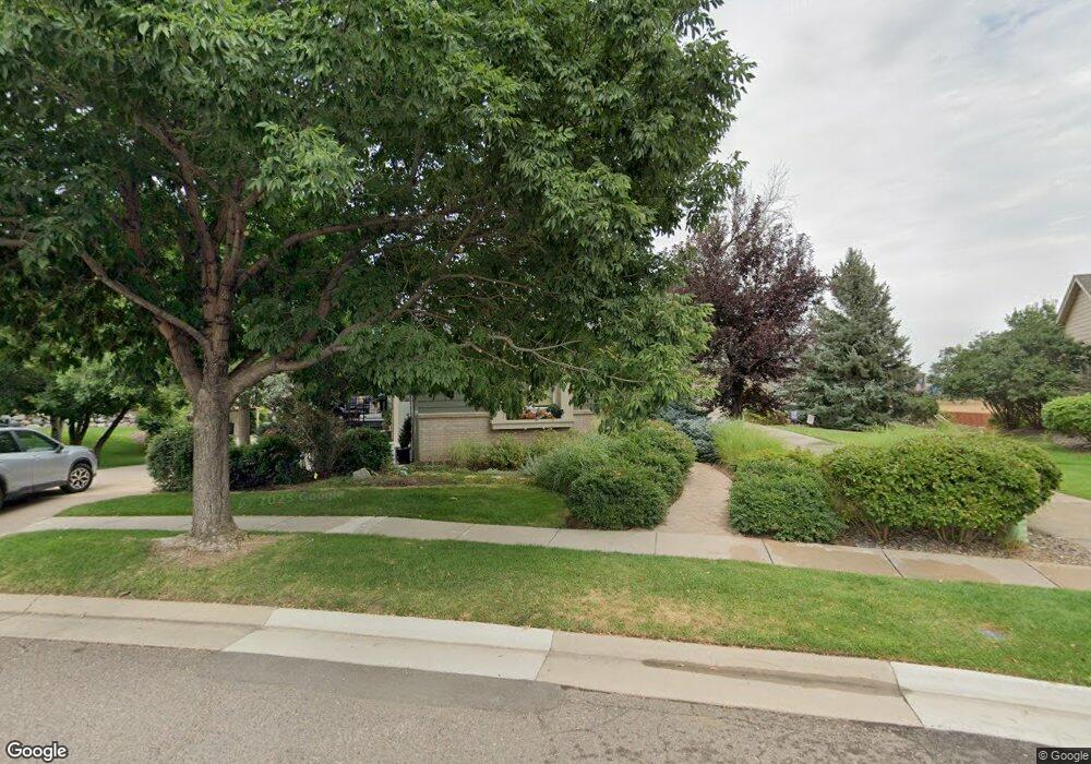
6688 Kendrick Dr Arvada, CO 80007
Ralston Valley NeighborhoodEstimated Value: $702,910 - $749,000
3
Beds
3
Baths
3,370
Sq Ft
$214/Sq Ft
Est. Value
About This Home
This home is located at 6688 Kendrick Dr, Arvada, CO 80007 and is currently estimated at $721,478, approximately $214 per square foot. 6688 Kendrick Dr is a home located in Jefferson County with nearby schools including West Woods Elementary School, Drake Junior High School, and Ralston Valley Senior High School.
Ownership History
Date
Name
Owned For
Owner Type
Purchase Details
Closed on
Dec 10, 2010
Sold by
Coffey Brent A and Helm Sheryl L
Bought by
Mccarthy John H and Mccarthy Sharon L
Current Estimated Value
Purchase Details
Closed on
Jun 30, 1999
Sold by
Perkins Robert E and Perkins Elise
Bought by
Coffey Brent A and Helm Sheryl L
Home Financials for this Owner
Home Financials are based on the most recent Mortgage that was taken out on this home.
Original Mortgage
$209,600
Interest Rate
2.95%
Purchase Details
Closed on
Jun 1, 1998
Sold by
Forest Spring Ltd Liability Co
Bought by
Perkins Robert E and Perkins Elise
Home Financials for this Owner
Home Financials are based on the most recent Mortgage that was taken out on this home.
Original Mortgage
$133,650
Interest Rate
7.2%
Create a Home Valuation Report for This Property
The Home Valuation Report is an in-depth analysis detailing your home's value as well as a comparison with similar homes in the area
Home Values in the Area
Average Home Value in this Area
Purchase History
| Date | Buyer | Sale Price | Title Company |
|---|---|---|---|
| Mccarthy John H | $282,000 | Land Title Guarantee Company | |
| Coffey Brent A | $262,000 | -- | |
| Perkins Robert E | $202,436 | Colorado National Title |
Source: Public Records
Mortgage History
| Date | Status | Borrower | Loan Amount |
|---|---|---|---|
| Previous Owner | Coffey Brent A | $209,600 | |
| Previous Owner | Perkins Robert E | $133,650 |
Source: Public Records
Tax History
| Year | Tax Paid | Tax Assessment Tax Assessment Total Assessment is a certain percentage of the fair market value that is determined by local assessors to be the total taxable value of land and additions on the property. | Land | Improvement |
|---|---|---|---|---|
| 2025 | $4,126 | $46,258 | $6,888 | $39,370 |
| 2024 | $3,635 | $44,226 | $6,971 | $37,255 |
| 2023 | $3,640 | $44,226 | $6,971 | $37,255 |
| 2022 | $2,749 | $35,017 | $7,527 | $27,490 |
| 2021 | $2,794 | $36,024 | $7,743 | $28,281 |
| 2020 | $3,456 | $35,814 | $10,936 | $24,878 |
| 2019 | $3,409 | $35,814 | $10,936 | $24,878 |
| 2018 | $3,022 | $30,861 | $7,910 | $22,951 |
| 2017 | $2,766 | $30,861 | $7,910 | $22,951 |
| 2016 | $2,798 | $29,402 | $8,714 | $20,688 |
| 2015 | $2,539 | $29,402 | $8,714 | $20,688 |
| 2014 | $2,539 | $25,076 | $6,927 | $18,149 |
Source: Public Records
Map
Nearby Homes
- 15241 W 66th Place
- 15296 W 66th Dr Unit G
- 6848 Lupine Way
- 15233 W 65th Ave Unit C
- 15290 W 68th Place
- 15295 W 64th Ln Unit 207
- 15345 W 64th Ln Unit 107
- 15345 W 64th Ln Unit 103
- 15294 W 68th Place
- 15325 W 69th Dr
- 15343 W 68th Loop
- 15274 W 64th Ln Unit 302
- 15510 W 64th Place Unit D
- 15266 W 68th Loop
- 6892 Juniper Ct
- 15314 W 69th Ave
- 15354 W 69th Ave
- 15313 W 69th Ave
- 15344 W 69th Ave
- 15516 W 64th Loop Unit F
- 6692 Kendrick Dr
- 6684 Kendrick Dr
- 6702 Kilmer Ct
- 6680 Kendrick Dr
- 6712 Kilmer Ct
- 6690 Kendrick Dr
- 6678 Kendrick Dr
- 6724 Kilmer Ct
- 6722 Kilmer Ct
- 6674 Kendrick Dr
- 6683 Kendrick Dr
- 6732 Kilmer Ct
- 6675 Kendrick Dr
- 6679 Kendrick Dr
- 6670 Kendrick Dr
- 6742 Kilmer Ct
- 6681 Kendrick Dr
- 6668 Kendrick Dr
- 15314 W 67th Ave
- 6752 Kilmer Ct
Your Personal Tour Guide
Ask me questions while you tour the home.