67 Bedford Rd Lincoln, MA 01773
Estimated Value: $1,628,000 - $2,015,000
About This Home
This home is located at 67 Bedford Rd, Lincoln, MA 01773 and is currently estimated at $1,819,287, approximately $437 per square foot. 67 Bedford Rd is a home located in Middlesex County with nearby schools including Lincoln-Sudbury Regional High School, Tremont School, and Concord Academy.
Ownership History
We collect this data history from publicly available records. To have your information removed, we recommend requesting removal directly through your county’s website.
Purchase Details
Home Values in the Area
Average Home Value in this Area
Purchase History
We collect this data history from publicly available records. To have your information removed, we recommend requesting removal directly through your county’s website.
| Date | Buyer | Sale Price | Title Company |
|---|---|---|---|
| $400,000 | -- |
Mortgage History
We collect this data history from publicly available records. To have your information removed, we recommend requesting removal directly through your county’s website.
| Date | Status | Borrower | Loan Amount |
|---|---|---|---|
| Closed | $130,000 |
Tax History
We collect this data history from publicly available records. To have your information removed, we recommend requesting removal directly through your county’s website.
| Year | Tax Paid | Tax Assessment Tax Assessment Total Assessment is a certain percentage of the fair market value that is determined by local assessors to be the total taxable value of land and additions on the property. | Land | Improvement |
|---|---|---|---|---|
| 2025 | $223 | $1,740,000 | $1,029,700 | $710,300 |
| 2024 | $21,975 | $1,704,800 | $1,007,200 | $697,600 |
| 2023 | $20,084 | $1,442,800 | $855,200 | $587,600 |
| 2022 | $19,440 | $1,302,100 | $783,200 | $518,900 |
| 2021 | $21,039 | $1,355,600 | $815,200 | $540,400 |
| 2020 | $20,954 | $1,364,200 | $815,200 | $549,000 |
| 2019 | $18,611 | $1,326,500 | $812,000 | $514,500 |
| 2018 | $18,040 | $1,326,500 | $812,000 | $514,500 |
| 2017 | $18,080 | $1,319,700 | $812,000 | $507,700 |
| 2016 | $17,550 | $1,254,500 | $760,000 | $494,500 |
| 2015 | $16,575 | $1,171,400 | $704,800 | $466,600 |
| 2014 | $16,453 | $1,141,800 | $695,200 | $446,600 |
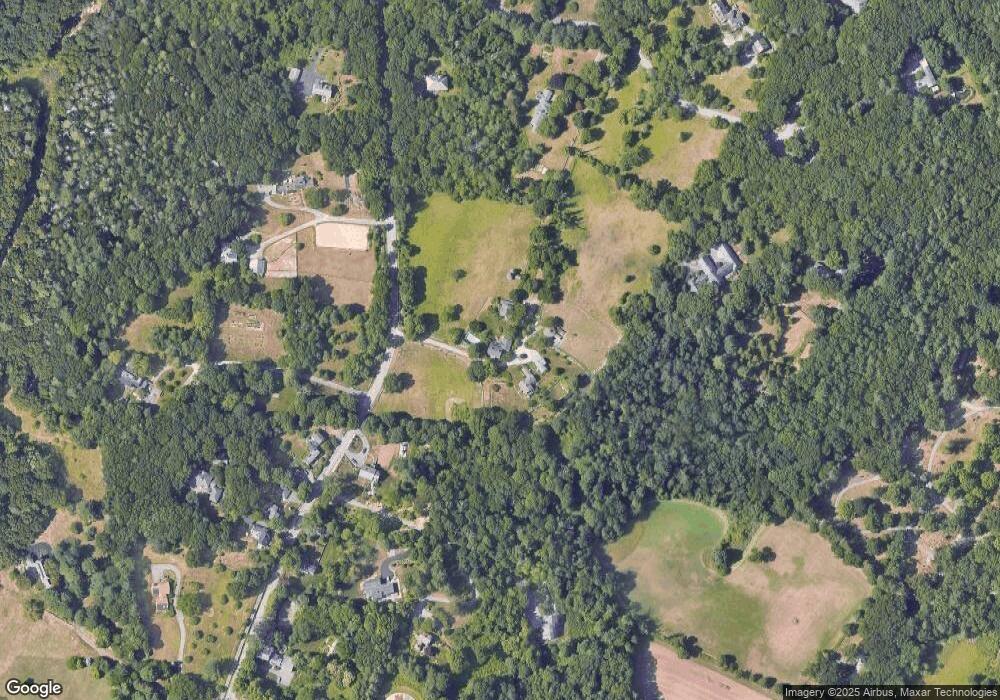
Map
- 23 Bedford Rd
- 11 Juniper Ridge Rd
- 96 Lexington Rd
- 22 Lincoln Rd
- 17 Morningside Ln
- 6 Brooks Hill Rd
- 61 Page Rd
- 184 Bedford Rd
- 84 Davison Dr
- 16 Old Cambridge Turnpike
- 190 Bedford Rd
- 22 Old Cambridge Turnpike
- 141 Trapelo Rd
- 44 Baker Bridge Rd
- 79 Autumn Ln
- 30 Goose Pond Rd
- 12 Mountain Rd
- 36 Journeys End Ln Unit 13
- 23 Stony Brook Rd
- 47 Wood St
Ask me questions while you tour the home.