67 Cain Ave Braintree, MA 02184
Braintree Highlands NeighborhoodEstimated Value: $684,000 - $726,000
About This Home
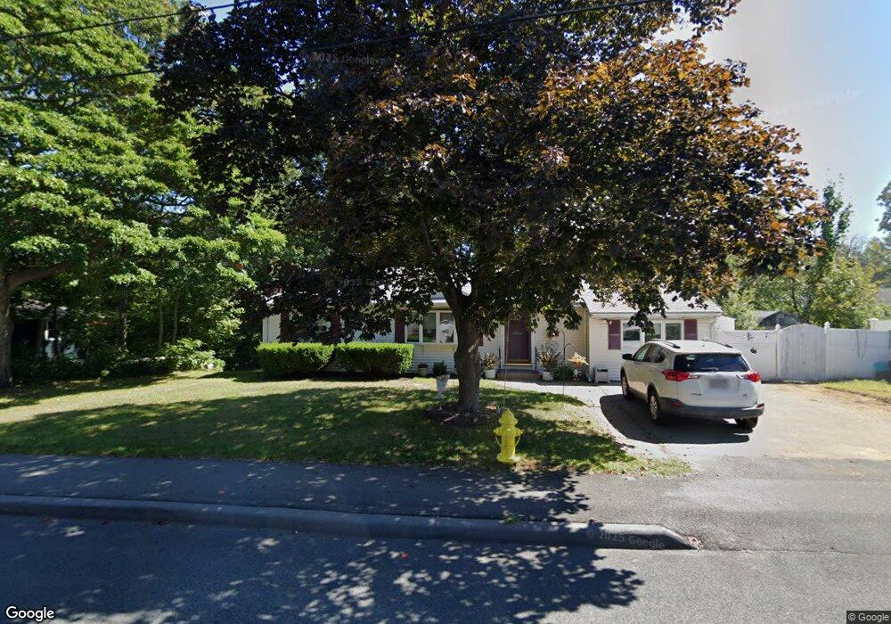
This home is located at 67 Cain Ave, Braintree, MA 02184 and is currently estimated at $703,152, approximately $418 per square foot. 67 Cain Ave is a home located in Norfolk County with nearby schools including Braintree High School, Boston Higashi School, and Lighthouse Baptist Christian Academy.
Ownership History
We collect this data history from publicly available records. To have your information removed, we recommend requesting removal directly through your county’s website.
Purchase Details
Home Financials for this Owner
Home Financials are based on the most recent Mortgage that was taken out on this home.Purchase Details
Home Values in the Area
Average Home Value in this Area
Purchase History
We collect this data history from publicly available records. To have your information removed, we recommend requesting removal directly through your county’s website.
| Date | Buyer | Sale Price | Title Company |
|---|---|---|---|
| $155,500 | -- | ||
| $121,500 | -- |
Mortgage History
We collect this data history from publicly available records. To have your information removed, we recommend requesting removal directly through your county’s website.
| Date | Status | Borrower | Loan Amount |
|---|---|---|---|
| Open | $90,400 | ||
| Closed | $4,900 | ||
| Closed | $100,000 |
Tax History
We collect this data history from publicly available records. To have your information removed, we recommend requesting removal directly through your county’s website.
| Year | Tax Paid | Tax Assessment Tax Assessment Total Assessment is a certain percentage of the fair market value that is determined by local assessors to be the total taxable value of land and additions on the property. | Land | Improvement |
|---|---|---|---|---|
| 2025 | $6,382 | $639,500 | $410,000 | $229,500 |
| 2024 | $5,750 | $606,500 | $384,400 | $222,100 |
| 2023 | $5,336 | $546,700 | $338,200 | $208,500 |
| 2022 | $5,134 | $516,000 | $307,500 | $208,500 |
| 2021 | $4,520 | $454,300 | $259,300 | $195,000 |
| 2020 | $4,479 | $454,300 | $259,300 | $195,000 |
| 2019 | $4,382 | $434,300 | $259,300 | $175,000 |
| 2018 | $4,151 | $393,800 | $225,500 | $168,300 |
| 2017 | $4,009 | $373,300 | $205,000 | $168,300 |
| 2016 | $3,830 | $348,800 | $184,500 | $164,300 |
| 2015 | $3,816 | $344,700 | $180,400 | $164,300 |
| 2014 | $3,529 | $309,000 | $166,000 | $143,000 |
Map
- 3 Selwyn Rd
- 1696 Liberty St
- 1822 Washington St
- 36 Woodside Ave
- 266 N Franklin St Unit 266A
- 1579 Washington St
- 85 Celia Rd
- 14 Elm Ave
- 148 N Franklin St
- 4 Park Dr
- 5 Clarendon Cir Unit Lot 4
- 1435 Washington St
- 23 Portland Rd
- 73 Bradford Commons Ln
- 49 Bradford Commons Ln
- 7 Platts St
- 107 Bradford Commons Ln Unit 107
- 41 Bradford Commons Ln
- 117 Alida Rd
- 47 Mount Pleasant Ave
Ask me questions while you tour the home.