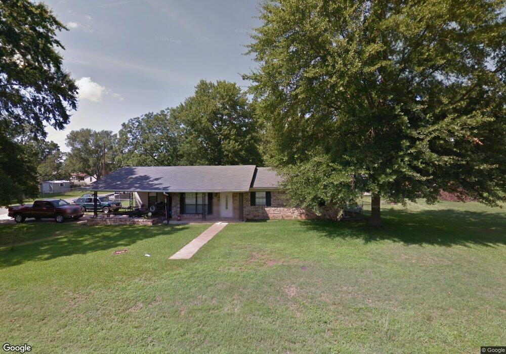
67 Crain Dr Bryant, AR 72022
Estimated Value: $174,603 - $203,000
About This Home
This home is located at 67 Crain Dr, Bryant, AR 72022 and is currently estimated at $191,651, approximately $130 per square foot. 67 Crain Dr is a home located in Saline County with nearby schools including Hill Farm Elementary School and Arkansas Christian Academy.
Ownership History
We collect this data history from publicly available records. To have your information removed, we recommend requesting removal directly through your county’s website.
Purchase Details
Home Financials for this Owner
Home Financials are based on the most recent Mortgage that was taken out on this home.Purchase Details
Home Financials for this Owner
Home Financials are based on the most recent Mortgage that was taken out on this home.Purchase Details
Purchase Details
Purchase Details
Home Values in the Area
Average Home Value in this Area
Purchase History
We collect this data history from publicly available records. To have your information removed, we recommend requesting removal directly through your county’s website.
| Date | Buyer | Sale Price | Title Company |
|---|---|---|---|
| $98,000 | -- | ||
| $92,000 | -- | ||
| $87,000 | -- | ||
| $81,000 | -- | ||
| $74,000 | -- |
Mortgage History
We collect this data history from publicly available records. To have your information removed, we recommend requesting removal directly through your county’s website.
| Date | Status | Borrower | Loan Amount |
|---|---|---|---|
| Open | $103,367 | ||
| Previous Owner | $91,248 |
Tax History
We collect this data history from publicly available records. To have your information removed, we recommend requesting removal directly through your county’s website.
| Year | Tax Paid | Tax Assessment Tax Assessment Total Assessment is a certain percentage of the fair market value that is determined by local assessors to be the total taxable value of land and additions on the property. | Land | Improvement |
|---|---|---|---|---|
| 2025 | $1,357 | $36,031 | $5,760 | $30,271 |
| 2024 | $1,238 | $36,031 | $5,760 | $30,271 |
| 2023 | $932 | $36,031 | $5,760 | $30,271 |
| 2022 | $949 | $36,031 | $5,760 | $30,271 |
| 2021 | $954 | $25,750 | $3,600 | $22,150 |
| 2020 | $859 | $25,750 | $3,600 | $22,150 |
| 2019 | $859 | $25,750 | $3,600 | $22,150 |
| 2018 | $700 | $23,150 | $3,600 | $19,550 |
| 2017 | $652 | $23,150 | $3,600 | $19,550 |
| 2016 | $889 | $18,210 | $3,000 | $15,210 |
| 2015 | $539 | $18,210 | $3,000 | $15,210 |
| 2014 | $539 | $18,210 | $3,000 | $15,210 |
Map
- 500 SW 4th St
- 913 Amy Cir
- 106 Short St
- 0 Carmichael Rd
- 900 Elkhart Loop
- 1100 Fox Chase Dr
- 311 Zachary Cove
- 1118 Allyson Ave
- 204 Fair Oaks Dr
- 2008 Pleasant Pointe Cir
- 511 Boswell Rd
- 1819 Pleasant Pointe Cir
- 404 SE 1st St
- 211 NE 3rd St
- 1708 Pleasant Pointe Cir
- 117 W Lea Cir
- 89 Bame Cir
- 86 Bame Cir Unit 1
- 28 Arcadia Cir
- 80 Bame Cir
Ask me questions while you tour the home.