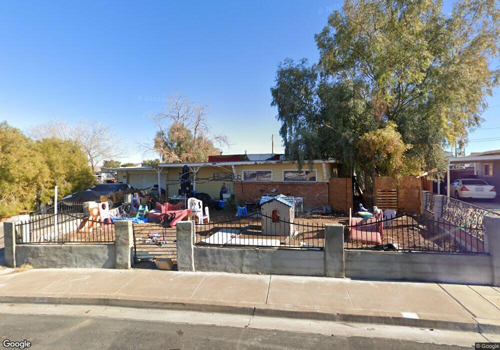
67 E Atlantic Ave Henderson, NV 89015
Downtown Henderson NeighborhoodEstimated Value: $169,000 - $314,000
2
Beds
1
Bath
1,072
Sq Ft
$246/Sq Ft
Est. Value
About This Home
This home is located at 67 E Atlantic Ave, Henderson, NV 89015 and is currently estimated at $264,053, approximately $246 per square foot. 67 E Atlantic Ave is a home located in Clark County with nearby schools including Robert L Taylor Elementary School, B Mahlon Brown Academy of International Studies, and Foothill High School.
Ownership History
Date
Name
Owned For
Owner Type
Purchase Details
Closed on
Oct 21, 2014
Sold by
The Vaughn S & Wanda C Crane Family Trus
Bought by
Ramos Heriberto
Current Estimated Value
Purchase Details
Closed on
Apr 17, 1995
Sold by
Crane Vaughn Samuel and Crane Wanda Cecilia
Bought by
Crane Vaughn S and Crane Wanda C
Create a Home Valuation Report for This Property
The Home Valuation Report is an in-depth analysis detailing your home's value as well as a comparison with similar homes in the area
Home Values in the Area
Average Home Value in this Area
Purchase History
| Date | Buyer | Sale Price | Title Company |
|---|---|---|---|
| Ramos Heriberto | $38,214 | None Available | |
| Ramos Heriberto | $38,214 | None Available | |
| Crane Vaughn S | -- | -- |
Source: Public Records
Tax History
| Year | Tax Paid | Tax Assessment Tax Assessment Total Assessment is a certain percentage of the fair market value that is determined by local assessors to be the total taxable value of land and additions on the property. | Land | Improvement |
|---|---|---|---|---|
| 2026 | $614 | $45,680 | $31,500 | $14,180 |
| 2025 | $614 | $39,239 | $25,200 | $14,039 |
| 2024 | $527 | $39,239 | $25,200 | $14,039 |
| 2023 | $527 | $43,139 | $30,450 | $12,689 |
| 2022 | $488 | $34,430 | $23,100 | $11,330 |
| 2021 | $452 | $28,748 | $18,200 | $10,548 |
| 2020 | $417 | $28,443 | $18,200 | $10,243 |
| 2019 | $391 | $23,162 | $13,300 | $9,862 |
| 2018 | $373 | $20,462 | $11,200 | $9,262 |
| 2017 | $570 | $19,679 | $10,500 | $9,179 |
| 2016 | $351 | $13,635 | $4,725 | $8,910 |
| 2015 | $348 | $13,375 | $4,725 | $8,650 |
| 2014 | $337 | $12,970 | $4,725 | $8,245 |
Source: Public Records
Map
Nearby Homes
- 54 Wyoming Ave
- 242 Kansas Ave
- 242 Nebraska Ave
- 3 Wyoming Ave
- 39 E Pacific Ave
- 1 S Water St
- 10 California Way
- 15 Washington Way
- 129 Laguna Commons Ln
- 145 Aqua Commons Ln
- 37 Newport Edge Place
- 143 Aqua Commons Ln
- 303 Tin St
- 50 E Victory Rd
- 72 Atrani Bay Ct
- 449 Federal St
- 23 Magnesium St
- 111 Copper St
- 203 W Pacific Ave
- 119 Manganese St
- 63 E Atlantic Ave
- 75 E Atlantic Ave Unit 8
- 75 E Atlantic Ave Unit 7
- 71 Oklahoma Dr
- 59 E Atlantic Ave
- 63 Oklahoma Dr
- 66 E Atlantic Ave
- 62 E Atlantic Ave
- 59 Oklahoma Dr
- 55 E Atlantic Ave
- 75 Oklahoma Dr
- 58 E Atlantic Ave
- 79 E Atlantic Ave
- 71 Wyoming Ave
- 67 Wyoming Ave
- 67 Wyoming Ave Unit 69
- 55 Oklahoma Dr
- 66 Oklahoma Dr
- 62 Oklahoma Dr
- 63 Wyoming Ave
Your Personal Tour Guide
Ask me questions while you tour the home.