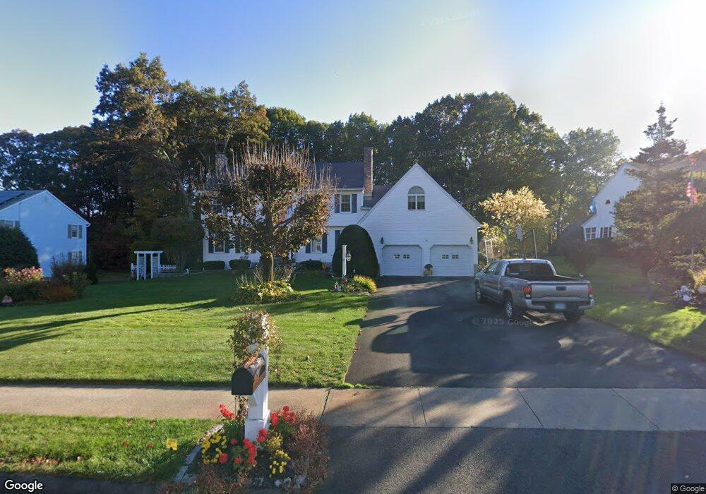
67 Empire Way Bristol, CT 06010
North Bristol NeighborhoodEstimated Value: $623,000 - $755,000
4
Beds
5
Baths
3,450
Sq Ft
$197/Sq Ft
Est. Value
About This Home
This home is located at 67 Empire Way, Bristol, CT 06010 and is currently estimated at $679,206, approximately $196 per square foot. 67 Empire Way is a home located in Hartford County with nearby schools including West Bristol Sch, Bristol Central High School, and St. Joseph School.
Ownership History
Date
Name
Owned For
Owner Type
Purchase Details
Closed on
Oct 10, 2020
Sold by
Palladino Richard F and Palladino Marianne J
Bought by
Palladino Children T
Current Estimated Value
Purchase Details
Closed on
Jun 10, 2020
Sold by
Marianne J Palladino Lt
Bought by
Palladino Richard F and Palladino Marianne J
Purchase Details
Closed on
Feb 19, 2013
Sold by
Palladino Richard F and Palladino Marianne J
Bought by
Palladino Marianne J and Palladino Richard F
Create a Home Valuation Report for This Property
The Home Valuation Report is an in-depth analysis detailing your home's value as well as a comparison with similar homes in the area
Home Values in the Area
Average Home Value in this Area
Purchase History
| Date | Buyer | Sale Price | Title Company |
|---|---|---|---|
| Palladino Children T | -- | None Available | |
| Palladino Richard F | -- | None Available | |
| Palladino Marianne J | -- | -- |
Source: Public Records
Mortgage History
| Date | Status | Borrower | Loan Amount |
|---|---|---|---|
| Previous Owner | Palladino Marianne J | $250,000 | |
| Previous Owner | Palladino Marianne J | $250,000 | |
| Previous Owner | Palladino Marianne J | $50,000 |
Source: Public Records
Tax History
| Year | Tax Paid | Tax Assessment Tax Assessment Total Assessment is a certain percentage of the fair market value that is determined by local assessors to be the total taxable value of land and additions on the property. | Land | Improvement |
|---|---|---|---|---|
| 2025 | $13,582 | $402,430 | $62,160 | $340,270 |
| 2024 | $11,972 | $375,900 | $62,160 | $313,740 |
| 2023 | $11,409 | $375,900 | $62,160 | $313,740 |
| 2022 | $10,502 | $273,840 | $48,580 | $225,260 |
| 2021 | $10,502 | $273,840 | $48,580 | $225,260 |
| 2020 | $10,502 | $273,840 | $48,580 | $225,260 |
| 2019 | $10,420 | $273,840 | $48,580 | $225,260 |
| 2018 | $10,099 | $273,840 | $48,580 | $225,260 |
| 2017 | $9,433 | $261,800 | $66,080 | $195,720 |
| 2016 | $9,433 | $261,800 | $66,080 | $195,720 |
| 2015 | $9,061 | $261,800 | $66,080 | $195,720 |
| 2014 | $9,061 | $261,800 | $66,080 | $195,720 |
Source: Public Records
Map
Nearby Homes
- 62 (Lot 13-1) James P Casey Rd
- 118 Berkshire Dr
- 1970 Perkins St
- 0 Hart St Unit 170255530
- 38 Eastwood Rd
- 439 James P Casey Rd
- 90 Battle St
- 35 James P Casey Rd
- 95 Birge Rd
- 35 Lardner Rd
- 79 N Pond St
- 440 Hill St
- 380 Burlington Ave
- 40 Matthews St Unit LOT 43
- 40 Matthews St Unit 30
- 228 Fern Hill Rd
- 18 Putnam St
- 19 Woodside Way
- 52 Irving St Unit 2
- 22 Ingraham St
Your Personal Tour Guide
Ask me questions while you tour the home.