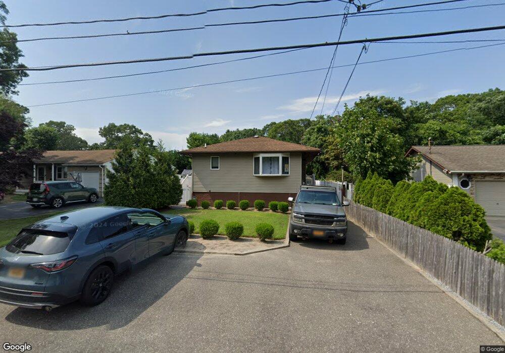
67 Hampton Ave Mastic, NY 11950
Estimated Value: $419,452 - $529,000
3
Beds
1
Bath
1,058
Sq Ft
$432/Sq Ft
Est. Value
About This Home
This home is located at 67 Hampton Ave, Mastic, NY 11950 and is currently estimated at $456,863, approximately $431 per square foot. 67 Hampton Ave is a home located in Suffolk County with nearby schools including Nathaniel Woodhull Elementary School, William Floyd Middle School, and William Floyd High School.
Ownership History
Date
Name
Owned For
Owner Type
Purchase Details
Closed on
Apr 29, 2004
Sold by
Harris David and Fleo Alfred N
Bought by
Mossorofo Carmine J and Mossorofo Walleska M
Current Estimated Value
Home Financials for this Owner
Home Financials are based on the most recent Mortgage that was taken out on this home.
Original Mortgage
$151,500
Outstanding Balance
$70,882
Interest Rate
5.47%
Mortgage Type
Purchase Money Mortgage
Estimated Equity
$385,981
Purchase Details
Closed on
May 2, 2003
Sold by
Fico Alfred N
Bought by
Harris David
Create a Home Valuation Report for This Property
The Home Valuation Report is an in-depth analysis detailing your home's value as well as a comparison with similar homes in the area
Home Values in the Area
Average Home Value in this Area
Purchase History
| Date | Buyer | Sale Price | Title Company |
|---|---|---|---|
| Mossorofo Carmine J | $202,000 | -- | |
| Harris David | -- | Fidelity |
Source: Public Records
Mortgage History
| Date | Status | Borrower | Loan Amount |
|---|---|---|---|
| Open | Mossorofo Carmine J | $151,500 |
Source: Public Records
Tax History
| Year | Tax Paid | Tax Assessment Tax Assessment Total Assessment is a certain percentage of the fair market value that is determined by local assessors to be the total taxable value of land and additions on the property. | Land | Improvement |
|---|---|---|---|---|
| 2024 | $6,910 | $1,700 | $80 | $1,620 |
| 2023 | $6,910 | $1,700 | $80 | $1,620 |
| 2022 | $7,675 | $1,700 | $80 | $1,620 |
| 2021 | $7,675 | $1,700 | $80 | $1,620 |
| 2020 | $7,838 | $1,700 | $80 | $1,620 |
| 2019 | $7,838 | $0 | $0 | $0 |
| 2018 | $7,539 | $1,700 | $80 | $1,620 |
| 2017 | $7,539 | $1,700 | $80 | $1,620 |
| 2016 | $7,539 | $1,700 | $80 | $1,620 |
| 2015 | -- | $1,700 | $80 | $1,620 |
| 2014 | -- | $1,700 | $80 | $1,620 |
Source: Public Records
Map
Nearby Homes
- 85 Patchogue Ave
- 66 Wood Ave
- 92 Southaven Ave
- VL(46&47) Bedford Ave
- VL(1) Bedford Ave
- VL(2) Bedford Ave
- 0 Bedford Ave Unit KEYL3488158
- 118 Moriches Ave
- VL(36) Mastic Blvd
- VL Mastic Blvd
- 19 Hawthorne St
- 33 Wood Ave
- 120 Somerset Ave
- 143 Hawthorne St
- 1287 Montauk Hwy
- 1397 Montauk Hwy
- 111 A Wood Ave
- 136B Hampton Ave
- 8 Paul Dr
- 13 Gores Dr
Your Personal Tour Guide
Ask me questions while you tour the home.