67 High Point Dr Glen Haven, CO 80532
Estimated Value: $493,000 - $611,000
About This Home
This home is located at 67 High Point Dr, Glen Haven, CO 80532 and is currently estimated at $531,271, approximately $363 per square foot. 67 High Point Dr is a home with nearby schools including Estes Park K-5 School, Estes Park Middle School, and Estes Park High School.
Ownership History
We collect this data history from publicly available records. To have your information removed, we recommend requesting removal directly through your county’s website.
Purchase Details
Purchase Details
Purchase History
We collect this data history from publicly available records. To have your information removed, we recommend requesting removal directly through your county’s website.
| Date | Buyer | Sale Price | Title Company |
|---|---|---|---|
| $688,750 | Fidelity National Title Compan | ||
| -- | None Available | ||
| $144,000 | Security Title |
Mortgage History
We collect this data history from publicly available records. To have your information removed, we recommend requesting removal directly through your county’s website.
| Date | Status | Borrower | Loan Amount |
|---|---|---|---|
| Closed | $438,750 |
Tax History
We collect this data history from publicly available records. To have your information removed, we recommend requesting removal directly through your county’s website.
| Year | Tax Paid | Tax Assessment Tax Assessment Total Assessment is a certain percentage of the fair market value that is determined by local assessors to be the total taxable value of land and additions on the property. | Land | Improvement |
|---|---|---|---|---|
| 2025 | $2,396 | $33,282 | $4,688 | $28,594 |
| 2024 | $2,681 | $43,376 | $6,030 | $37,346 |
| 2022 | $1,917 | $26,799 | $4,761 | $22,038 |
| 2021 | $1,970 | $27,571 | $4,898 | $22,673 |
| 2020 | $1,946 | $26,827 | $3,790 | $23,037 |
| 2019 | $1,931 | $26,827 | $3,790 | $23,037 |
| 2018 | $1,713 | $23,026 | $3,384 | $19,642 |
| 2017 | $1,723 | $23,026 | $3,384 | $19,642 |
| 2016 | $1,265 | $17,544 | $3,184 | $14,360 |
| 2015 | $1,249 | $18,340 | $3,180 | $15,160 |
| 2014 | $1,214 | $17,540 | $3,020 | $14,520 |
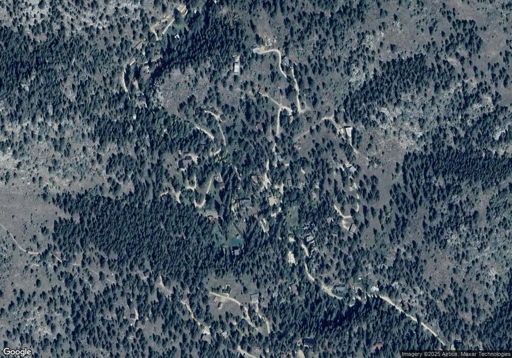
Map
- 59 High Point Dr
- 232 Fox Creek Rd
- 105 Fox Creek Rd
- 9981 County Road 43
- 957 Dunraven Glade Rd
- 6781 County Road 43
- 500 Bulwark Ridge Dr
- 163 W Creek Rd
- 417 Dunraven Glade Rd
- 255 Miller Fork Rd
- 0 Dunraven Glade Rd Unit 1047641
- 0 Dunraven Glade Rd Unit IRE1054390
- 189 Fishermans Ln
- 1035 Streamside Dr
- 1142 Streamside Dr
- 84 Copper Hill Rd
- 1002 Streamside Dr
- 416 Black Creek Dr
- 164 Copper Hill Rd
- 280 Streamside Dr
- 27 Circle Dr
- 694 N Fork Rd
- 13 High Point Dr
- 610 N Fork Rd
- 46 High Point Dr
- 323 Circle Dr
- 20 High Point Dr
- 117 High Point Dr
- 36 High Point Dr
- 48 Triangle Mountain Rd
- 589 N Fork Rd
- 633 N Fork Rd
- 178 High Point Dr
- 17 Triangle Mountain Rd
- 126 N Triangle Mountain Rd
- 104 Circle Dr
- 153 Circle Dr
- 83 Circle Dr
- 521 N Fork Rd
- 167 High Point Dr
Ask me questions while you tour the home.