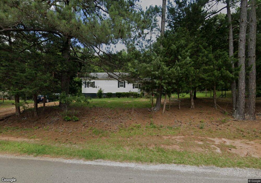
67 Lanier Rd Thomaston, GA 30286
Estimated Value: $122,000 - $169,000
2
Beds
1
Bath
1,416
Sq Ft
$98/Sq Ft
Est. Value
About This Home
This home is located at 67 Lanier Rd, Thomaston, GA 30286 and is currently estimated at $138,845, approximately $98 per square foot. 67 Lanier Rd is a home located in Upson County with nearby schools including Upson-Lee South Elementary School, Upson-Lee North Elementary School, and Upson-Lee Middle School.
Ownership History
Date
Name
Owned For
Owner Type
Purchase Details
Closed on
Sep 25, 2007
Sold by
Not Provided
Bought by
Corley Kevin Shane
Current Estimated Value
Home Financials for this Owner
Home Financials are based on the most recent Mortgage that was taken out on this home.
Original Mortgage
$57,234
Interest Rate
6.41%
Mortgage Type
New Conventional
Purchase Details
Closed on
Aug 8, 2007
Sold by
Bank Of Upson
Bought by
Bank Of Upson
Home Financials for this Owner
Home Financials are based on the most recent Mortgage that was taken out on this home.
Original Mortgage
$57,234
Interest Rate
6.41%
Mortgage Type
New Conventional
Purchase Details
Closed on
May 11, 2006
Sold by
Not Provided
Bought by
Corley Kevin Shane
Create a Home Valuation Report for This Property
The Home Valuation Report is an in-depth analysis detailing your home's value as well as a comparison with similar homes in the area
Purchase History
| Date | Buyer | Sale Price | Title Company |
|---|---|---|---|
| Corley Kevin Shane | $34,000 | -- | |
| Bank Of Upson | -- | -- | |
| Corley Kevin Shane | $16,900 | -- |
Source: Public Records
Mortgage History
| Date | Status | Borrower | Loan Amount |
|---|---|---|---|
| Closed | Corley Kevin Shane | $57,234 |
Source: Public Records
Tax History
| Year | Tax Paid | Tax Assessment Tax Assessment Total Assessment is a certain percentage of the fair market value that is determined by local assessors to be the total taxable value of land and additions on the property. | Land | Improvement |
|---|---|---|---|---|
| 2025 | $1,047 | $40,688 | $5,401 | $35,287 |
| 2024 | $1,047 | $38,791 | $4,501 | $34,290 |
| 2023 | $1,019 | $37,375 | $4,501 | $32,874 |
| 2022 | $740 | $26,673 | $2,033 | $24,640 |
| 2021 | $614 | $23,291 | $2,033 | $21,258 |
| 2020 | $615 | $21,813 | $1,787 | $20,026 |
| 2019 | $611 | $19,953 | $1,787 | $18,166 |
| 2018 | $612 | $19,953 | $1,787 | $18,166 |
| 2017 | $641 | $19,057 | $1,787 | $17,270 |
| 2016 | $620 | $18,132 | $1,489 | $16,643 |
| 2015 | $620 | $18,132 | $1,489 | $16,643 |
| 2014 | $624 | $18,227 | $1,584 | $16,643 |
Source: Public Records
Map
Nearby Homes
- 1141 Windsweep Farm Rd
- LOT 17 Smith Rd
- LOT 19 Smith Rd
- 0 Triune Mill Rd Unit TRACT 201
- 0 Triune Mill Rd Unit TRACT 200
- 164 New Harmony Church Rd
- 1412 & 1418 Yatesville Hwy
- 1210 Waymanville Rd
- 1242 Waymanville Rd
- 1224 Waymanville Rd
- 807 Triune Mill Rd
- 705 Triune Mill Rd
- LOT 10 Triune Mill Rd
- 657 Tom McKinley Rd
- 0 Logtown Rd Unit 10700247
- 291 Mauldin Rd
- 3 Morningside Ct
- 7 Morningside Ct
- 5 Morningside Ct
- LOT 204 Morningside Ct
- 87 Lanier Rd
- 72 Lanier Rd
- 44 Lanier Rd
- 26 Lanier Rd
- 2440 Triune Mill Rd
- 2418 Triune Mill Rd
- 2518 Triune Mill Rd
- 0 Lanier Rd
- 0 Lanier Rd Unit 3072845
- 134 Lanier Rd
- 2515 Triune Mill Rd
- 2515 Triune Mill Rd
- 2380 Triune Mill Rd
- 2284 Triune Mill Rd
- 204 Lanier Rd
- 2610 Triune Mill Rd
- 2255 Triune Mill Rd
- 2233 Triune Mill Rd
- 2638 Triune Mill Rd
- 2323 Triune Mill Rd
Your Personal Tour Guide
Ask me questions while you tour the home.