67 Maple Ln Orrtanna, PA 17353
Estimated Value: $59,000 - $133,000
About This Home
This home is located at 67 Maple Ln, Orrtanna, PA 17353 and is currently estimated at $110,391, approximately $132 per square foot. 67 Maple Ln is a home located in Adams County with nearby schools including Gettysburg Area High School.
Ownership History
We collect this data history from publicly available records. To have your information removed, we recommend requesting removal directly through your county’s website.
Purchase Details
Purchase Details
Purchase History
We collect this data history from publicly available records. To have your information removed, we recommend requesting removal directly through your county’s website.
| Date | Buyer | Sale Price | Title Company |
|---|---|---|---|
| -- | None Listed On Document | ||
| $42,000 | -- |
Mortgage History
We collect this data history from publicly available records. To have your information removed, we recommend requesting removal directly through your county’s website.
| Date | Status | Borrower | Loan Amount |
|---|---|---|---|
| Open | $69,230 |
Tax History
We collect this data history from publicly available records. To have your information removed, we recommend requesting removal directly through your county’s website.
| Year | Tax Paid | Tax Assessment Tax Assessment Total Assessment is a certain percentage of the fair market value that is determined by local assessors to be the total taxable value of land and additions on the property. | Land | Improvement |
|---|---|---|---|---|
| 2026 | $1,048 | $60,200 | $7,000 | $53,200 |
| 2025 | $1,041 | $60,200 | $7,000 | $53,200 |
| 2024 | $992 | $60,200 | $7,000 | $53,200 |
| 2023 | $977 | $60,200 | $7,000 | $53,200 |
| 2022 | $968 | $60,200 | $7,000 | $53,200 |
| 2021 | $947 | $60,200 | $7,000 | $53,200 |
| 2020 | $947 | $60,200 | $7,000 | $53,200 |
| 2019 | $952 | $60,900 | $7,000 | $53,900 |
| 2018 | $946 | $60,900 | $7,000 | $53,900 |
| 2017 | $913 | $60,900 | $7,000 | $53,900 |
| 2016 | -- | $60,900 | $7,000 | $53,900 |
| 2015 | -- | $60,900 | $7,000 | $53,900 |
| 2014 | -- | $60,900 | $7,000 | $53,900 |
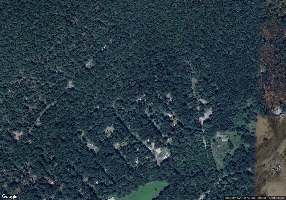
Map
- 76 Pheasant Trail
- 30 Pine Tree Trail
- 30 Mountain Dr
- 89 Oak Dr
- 5 Rhododendron Trail
- 46 Woodview Rd Unit 22
- 645 Miltonberger Rd
- 465 (Lot 13) Miltonberger Rd
- 240 Boyds Hollow Rd
- 3065 Buchanan Valley Rd
- 1214 Church Rd
- 1178 Church Rd
- 1362 New Rd
- 502 Celebration Hill Rd
- 2827 Shippensburg Rd
- 456 Church Rd
- 240 Oak Dr Unit 14
- 115 Spigot Valley Rd
- 130 Spigot Valley Rd
- 215 Pine Ridge Ln Unit 1
- 66 Pheasant Trail
- 86 Pheasant Trail
- 64 Pheasant Trail
- 85 Maple Ln
- 55 Maple Ln
- 89 Pheasant Trail
- 292 Mountain Rd Unit M-14
- 53 Pheasant Trail
- 65 Pheasant Trail
- 56 Pheasant Trail
- 71 Pine Tree Trail
- 50 Maple Ln
- 26 Pheasant Trail
- 35 Maple Ln
- 18 Pheasant Trail
- 75 Pine Tree Trail
- 73 Pine Tree Trail
- 16 Pheasant Trail
- 15 Deer Run Rd
- 50 Pine Tree Trail
Ask me questions while you tour the home.