67 Pilots Way West Barnstable, MA 02668
Barnstable Village NeighborhoodEstimated Value: $526,000 - $947,000
Studio
5
Baths
--
Sq Ft
55,757
Sq Ft Lot
About This Home
This home is located at 67 Pilots Way, West Barnstable, MA 02668 and is currently estimated at $697,462. 67 Pilots Way is a home located in Barnstable County with nearby schools including West Barnstable Elementary School, Barnstable United Elementary School, and Barnstable Intermediate School.
Ownership History
Date
Name
Owned For
Owner Type
Purchase Details
Closed on
Sep 9, 2004
Sold by
Shelter Rt
Bought by
Massachusetts Commonwe
Current Estimated Value
Home Financials for this Owner
Home Financials are based on the most recent Mortgage that was taken out on this home.
Original Mortgage
$200,000
Outstanding Balance
$100,404
Interest Rate
6.08%
Mortgage Type
Purchase Money Mortgage
Estimated Equity
$597,058
Create a Home Valuation Report for This Property
The Home Valuation Report is an in-depth analysis detailing your home's value as well as a comparison with similar homes in the area
Home Values in the Area
Average Home Value in this Area
Purchase History
| Date | Buyer | Sale Price | Title Company |
|---|---|---|---|
| Massachusetts Commonwe | -- | -- |
Source: Public Records
Mortgage History
| Date | Status | Borrower | Loan Amount |
|---|---|---|---|
| Open | Massachusetts Commonwe | $200,000 |
Source: Public Records
Tax History
| Year | Tax Paid | Tax Assessment Tax Assessment Total Assessment is a certain percentage of the fair market value that is determined by local assessors to be the total taxable value of land and additions on the property. | Land | Improvement |
|---|---|---|---|---|
| 2025 | $1,522 | $163,000 | $21,000 | $142,000 |
| 2024 | $1,465 | $170,800 | $21,000 | $149,800 |
| 2023 | $1,572 | $172,600 | $22,800 | $149,800 |
| 2022 | $1,908 | $171,700 | $21,900 | $149,800 |
| 2021 | $2,012 | $171,700 | $21,900 | $149,800 |
| 2020 | $1,837 | $151,600 | $18,100 | $133,500 |
| 2019 | $1,897 | $154,500 | $18,100 | $136,400 |
| 2018 | $11,071 | $157,600 | $19,800 | $137,800 |
| 2017 | $568 | $46,400 | $11,600 | $34,800 |
| 2016 | $139 | $11,600 | $11,600 | $0 |
| 2015 | $196 | $16,400 | $16,400 | $0 |
Source: Public Records
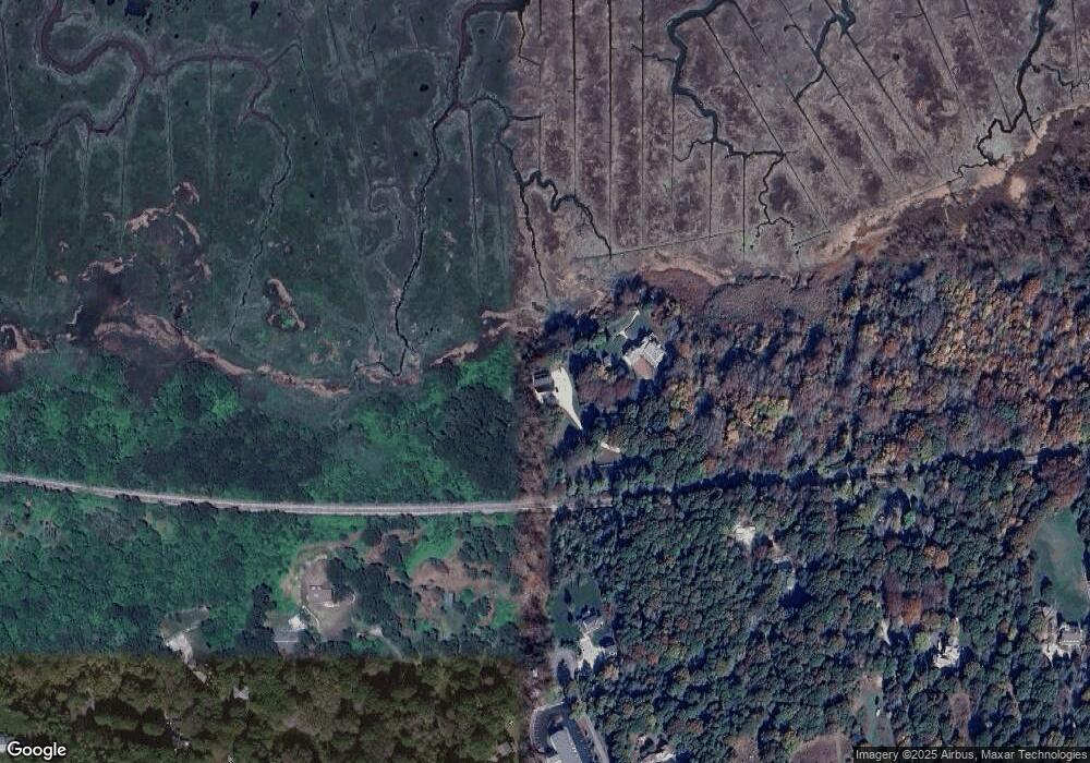
Map
Nearby Homes
- 34 Black Duck Ln
- 1825 Main St
- 11 Shepherds Way
- 350 Plum St
- 367 Plum St
- 89 Moco Rd
- 157 Scudder's Ln
- 69 Allyn Ln
- 93 Harris Meadow Ln
- 282 Parker Rd
- 43 Chickadee Ln
- 43 Sturgis Ln
- 27 White Cap Ln
- 146 Hillside Dr
- 324 Patriot Way
- 16 Morgan Way
- 0 Indian Trail
- 34 Maushop Ave
- 29 Appaloosa Way
- 49 Great Hill Dr
- 67 Pilots Way
- 150 John Maki Rd
- 130 John Maki Rd
- 63 Pilots Way
- 85 Pilots Way
- 76 John Maki Rd
- 94 Pilots Way
- 75 John Maki Rd
- 60 John Maki Rd
- 55 Pilots Way
- 40 John Maki Rd
- 71 Maggie Ln
- 49 John Maki Rd
- 20 Pilots Way
- 68 Pilots Way
- 1 John Maki Rd
- 40 Maggie Ln
- 40 Maggie Ln Unit B
- 40 Maggie Ln Unit 1
- 40 Maggie Ln Unit A
Your Personal Tour Guide
Ask me questions while you tour the home.