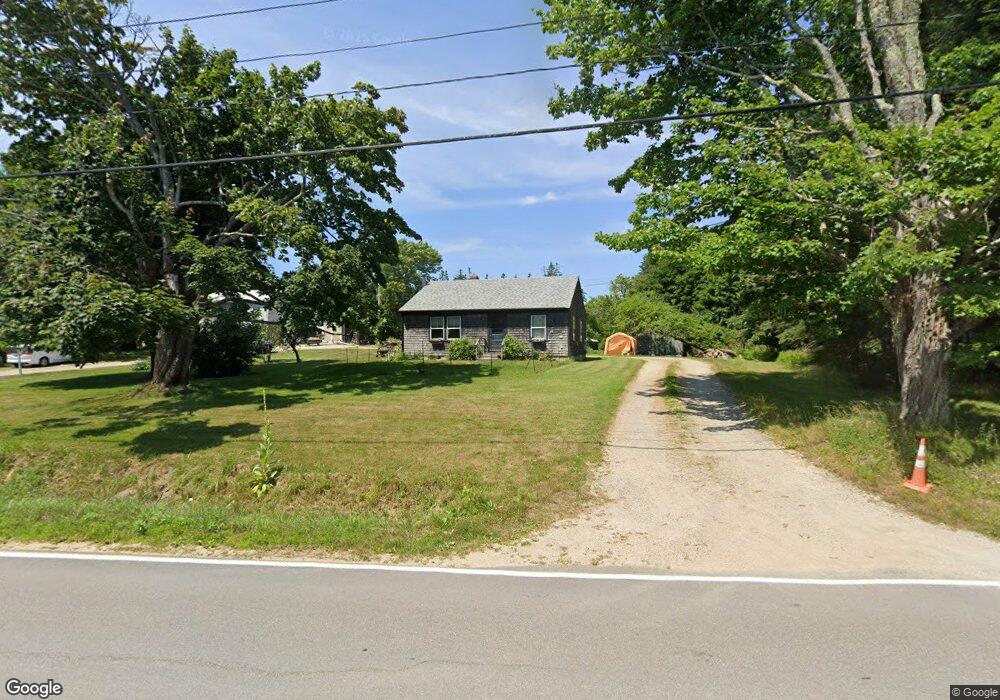
67 Reach Rd Brooklin, ME 04616
Estimated Value: $297,769 - $454,000
About This Home
This home is located at 67 Reach Rd, Brooklin, ME 04616 and is currently estimated at $378,590, approximately $347 per square foot. 67 Reach Rd is a home with nearby schools including Brooklin School.
Ownership History
We collect this data history from publicly available records. To have your information removed, we recommend requesting removal directly through your county’s website.
Purchase Details
Purchase History
We collect this data history from publicly available records. To have your information removed, we recommend requesting removal directly through your county’s website.
| Date | Buyer | Sale Price | Title Company |
|---|---|---|---|
| -- | -- |
Tax History
We collect this data history from publicly available records. To have your information removed, we recommend requesting removal directly through your county’s website.
| Year | Tax Paid | Tax Assessment Tax Assessment Total Assessment is a certain percentage of the fair market value that is determined by local assessors to be the total taxable value of land and additions on the property. | Land | Improvement |
|---|---|---|---|---|
| 2025 | $1,781 | $225,400 | $88,600 | $136,800 |
| 2024 | $1,645 | $225,400 | $88,600 | $136,800 |
| 2023 | $1,318 | $180,500 | $88,600 | $91,900 |
| 2022 | $1,194 | $161,400 | $85,200 | $76,200 |
| 2021 | $1,222 | $161,400 | $85,200 | $76,200 |
| 2020 | $2,455 | $161,400 | $85,200 | $76,200 |
| 2019 | $1,072 | $150,300 | $85,200 | $65,100 |
| 2018 | $1,114 | $150,500 | $85,200 | $65,300 |
| 2017 | $1,099 | $150,500 | $85,200 | $65,300 |
| 2016 | $1,084 | $150,500 | $85,200 | $65,300 |
| 2015 | $1,084 | $150,500 | $85,200 | $65,300 |
| 2014 | $1,084 | $150,500 | $85,200 | $65,300 |
| 2013 | $993 | $150,500 | $85,200 | $65,300 |
Map
- 00 Periwinkle Ln
- 352 Harriman Point Rd
- 0 Flye Point Unit Lot 3
- 9 River Rd Unit Lot 6
- 9 River Rd Unit Lot 3
- 163 Back Rd
- 00 Reach Rd
- Lot 6&66 Woods Rd
- 87 Carter Point Rd
- 2 Twin Oaks Ln
- 00 Cross Rd
- 5 Hales Woods Rd
- 126 Reach Rd
- 13 Mcmullen Ave
- 111 Old Place Rd
- 70 Owens Way
- 17 E Side Rd
- 36 Greenlaw District Rd
- 684 Falls Bridge Rd
- 0 Quaco Rd Unit 1625807
Ask me questions while you tour the home.