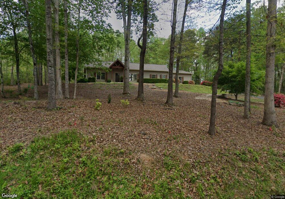
67 Ruby Ln Dawsonville, GA 30534
Estimated Value: $470,952 - $641,000
3
Beds
3
Baths
2,104
Sq Ft
$271/Sq Ft
Est. Value
About This Home
This home is located at 67 Ruby Ln, Dawsonville, GA 30534 and is currently estimated at $569,488, approximately $270 per square foot. 67 Ruby Ln is a home with nearby schools including Kilough Elementary School, Dawson County Middle School, and Dawson County Junior High School.
Ownership History
Date
Name
Owned For
Owner Type
Purchase Details
Closed on
Dec 29, 2014
Sold by
Lively Lossie L
Bought by
Domingue Carl
Current Estimated Value
Purchase Details
Closed on
Mar 12, 2013
Sold by
Lively Lossie L
Bought by
Domingue Carl
Purchase Details
Closed on
Feb 8, 2013
Sold by
Sunward Properties Llc
Bought by
Lively Lossie L
Purchase Details
Closed on
Jun 21, 2011
Sold by
Sunward Properties Llc
Bought by
Lively Lossie L
Purchase Details
Closed on
Nov 23, 2005
Sold by
Elliott Willaim and Elliott Earnest
Bought by
Sunward Properties Llc
Create a Home Valuation Report for This Property
The Home Valuation Report is an in-depth analysis detailing your home's value as well as a comparison with similar homes in the area
Home Values in the Area
Average Home Value in this Area
Purchase History
| Date | Buyer | Sale Price | Title Company |
|---|---|---|---|
| Domingue Carl | -- | -- | |
| Domingue Carl | $65,000 | -- | |
| Lively Lossie L | -- | -- | |
| Lively Lossie L | $7,600 | -- | |
| Sunward Properties Llc | $1,100,000 | -- |
Source: Public Records
Tax History
| Year | Tax Paid | Tax Assessment Tax Assessment Total Assessment is a certain percentage of the fair market value that is determined by local assessors to be the total taxable value of land and additions on the property. | Land | Improvement |
|---|---|---|---|---|
| 2025 | $2,883 | $182,920 | $31,600 | $151,320 |
| 2024 | $2,883 | $179,360 | $31,600 | $147,760 |
| 2023 | $2,884 | $185,280 | $31,600 | $153,680 |
| 2022 | $2,871 | $136,040 | $16,720 | $119,320 |
| 2021 | $2,663 | $119,680 | $16,720 | $102,960 |
| 2020 | $2,701 | $116,160 | $16,720 | $99,440 |
| 2019 | $2,520 | $107,600 | $16,720 | $90,880 |
| 2018 | $2,526 | $107,600 | $16,720 | $90,880 |
| 2017 | $2,308 | $98,499 | $16,000 | $82,499 |
| 2016 | $2,197 | $91,848 | $16,000 | $75,848 |
| 2015 | $1,359 | $55,057 | $16,000 | $39,057 |
| 2014 | -- | $16,000 | $16,000 | $0 |
| 2013 | -- | $12,800 | $12,800 | $0 |
Source: Public Records
Map
Nearby Homes
- 330 Lake Dr
- 1810 Kilough Church Rd
- 75 Lake Dr
- 104 Waters Edge
- 192 Browns Point
- 435 Robertson Rd
- 272 Indian Cove Dr
- 136 Poplar Trail
- 99 Indian Cove Dr
- 734 Kilough Church Rd
- Lot 72 Thirteen Hundred
- 32 Berryville Dr
- 28 Berryville Dr
- 24 Berryville Dr
- 27 Berryville Dr
- 23 Berryville Dr
- 21 Berryville Dr
- 17 Berryville Dr
Your Personal Tour Guide
Ask me questions while you tour the home.