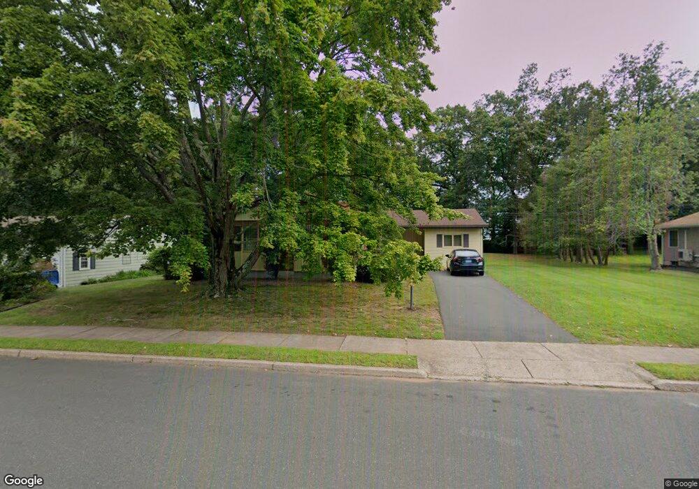
67 Scott Dr Manchester, CT 06042
Buckley District NeighborhoodEstimated Value: $333,000 - $372,000
3
Beds
2
Baths
1,672
Sq Ft
$212/Sq Ft
Est. Value
About This Home
This home is located at 67 Scott Dr, Manchester, CT 06042 and is currently estimated at $353,803, approximately $211 per square foot. 67 Scott Dr is a home located in Hartford County with nearby schools including Buckley School, Illing Middle School, and Elisabeth M. Bennet Academy.
Ownership History
Date
Name
Owned For
Owner Type
Purchase Details
Closed on
Jun 13, 1997
Sold by
Piaker Steven F and Piaker Randi L
Bought by
Nadler Andrew C and Nadler Gayle S
Current Estimated Value
Home Financials for this Owner
Home Financials are based on the most recent Mortgage that was taken out on this home.
Original Mortgage
$115,200
Outstanding Balance
$16,471
Interest Rate
7.97%
Mortgage Type
Unknown
Estimated Equity
$337,332
Create a Home Valuation Report for This Property
The Home Valuation Report is an in-depth analysis detailing your home's value as well as a comparison with similar homes in the area
Home Values in the Area
Average Home Value in this Area
Purchase History
We collect this data history from publicly available records. To have your information removed, we recommend requesting removal directly through your county’s website.
| Date | Buyer | Sale Price | Title Company |
|---|---|---|---|
| Nadler Andrew C | $269,000 | -- | |
| Nadler Andrew C | $269,000 | -- |
Source: Public Records
Mortgage History
We collect this data history from publicly available records. To have your information removed, we recommend requesting removal directly through your county’s website.
| Date | Status | Borrower | Loan Amount |
|---|---|---|---|
| Open | Nadler Andrew C | $115,200 | |
| Closed | Nadler Andrew C | $115,200 |
Source: Public Records
Tax History
| Year | Tax Paid | Tax Assessment Tax Assessment Total Assessment is a certain percentage of the fair market value that is determined by local assessors to be the total taxable value of land and additions on the property. | Land | Improvement |
|---|---|---|---|---|
| 2025 | $6,288 | $157,900 | $39,600 | $118,300 |
| 2024 | $6,108 | $157,900 | $39,600 | $118,300 |
| 2023 | $5,874 | $157,900 | $39,600 | $118,300 |
| 2022 | $5,759 | $157,900 | $39,600 | $118,300 |
| 2021 | $4,631 | $126,800 | $34,000 | $92,800 |
| 2020 | $4,631 | $126,800 | $34,000 | $92,800 |
| 2019 | $4,631 | $126,800 | $34,000 | $92,800 |
| 2018 | $4,541 | $126,800 | $34,000 | $92,800 |
| 2017 | $4,419 | $126,800 | $34,000 | $92,800 |
| 2016 | $4,482 | $128,600 | $43,100 | $85,500 |
| 2015 | $4,460 | $128,600 | $43,100 | $85,500 |
| 2014 | $4,372 | $128,600 | $43,100 | $85,500 |
Source: Public Records
Map
Nearby Homes
- 30 Ambassador Dr Unit A
- 86 Ambassador Dr Unit A
- 140 Elizabeth Dr
- 123 Bretton Rd
- 56 Oakwood Rd
- 41 Sanford Rd
- 26 Doane St
- 373 Parker St
- 335 Grissom Rd
- 45 Grissom Rd
- 57 Starkweather St
- 25 Cliffside Dr Unit E
- 121 Shepard Dr
- 81 Cliffside Dr Unit A
- 14 Lawton Rd Unit 17
- 101 Princeton St
- 206 Oakland St
- 206 Oakland St Unit E6
- 206 Oakland St Unit E5
- 206 Oakland St Unit E3
Your Personal Tour Guide
Ask me questions while you tour the home.