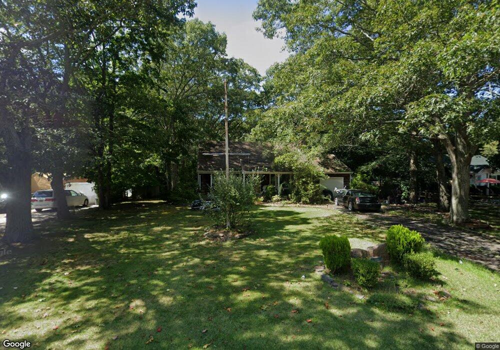
67 Summit Blvd Westhampton, NY 11977
Estimated Value: $939,000 - $1,152,000
4
Beds
2
Baths
1,677
Sq Ft
$623/Sq Ft
Est. Value
About This Home
This home is located at 67 Summit Blvd, Westhampton, NY 11977 and is currently estimated at $1,044,680, approximately $622 per square foot. 67 Summit Blvd is a home located in Suffolk County with nearby schools including Westhampton Beach Elementary School, Westhampton Middle School, and Westhampton Beach Senior High School.
Ownership History
Date
Name
Owned For
Owner Type
Purchase Details
Closed on
Dec 13, 2001
Sold by
Tyson Floyd L
Bought by
Tyson Floyd L and Tyson Carl
Current Estimated Value
Home Financials for this Owner
Home Financials are based on the most recent Mortgage that was taken out on this home.
Original Mortgage
$50,000
Interest Rate
6.64%
Create a Home Valuation Report for This Property
The Home Valuation Report is an in-depth analysis detailing your home's value as well as a comparison with similar homes in the area
Home Values in the Area
Average Home Value in this Area
Purchase History
| Date | Buyer | Sale Price | Title Company |
|---|---|---|---|
| Tyson Floyd L | -- | Commonwealth Land Title Ins |
Source: Public Records
Mortgage History
| Date | Status | Borrower | Loan Amount |
|---|---|---|---|
| Closed | Tyson Floyd L | $50,000 |
Source: Public Records
Tax History
| Year | Tax Paid | Tax Assessment Tax Assessment Total Assessment is a certain percentage of the fair market value that is determined by local assessors to be the total taxable value of land and additions on the property. | Land | Improvement |
|---|---|---|---|---|
| 2024 | -- | $559,900 | $323,800 | $236,100 |
| 2023 | -- | $559,900 | $323,800 | $236,100 |
| 2022 | $4,968 | $559,900 | $323,800 | $236,100 |
| 2021 | $4,968 | $559,900 | $323,800 | $236,100 |
| 2020 | $4,671 | $559,900 | $323,800 | $236,100 |
| 2019 | $4,671 | $0 | $0 | $0 |
| 2018 | -- | $545,700 | $323,800 | $221,900 |
| 2017 | $4,872 | $545,700 | $323,800 | $221,900 |
| 2016 | $4,944 | $545,700 | $323,800 | $221,900 |
| 2015 | -- | $545,700 | $323,800 | $221,900 |
| 2014 | -- | $545,700 | $323,800 | $221,900 |
Source: Public Records
Map
Nearby Homes
- 38 Columbia Ave
- 95 N Summit Blvd
- 15 Sophia Ct
- 17 Sophia Ct
- 8 Eastridge Ct
- 16 Sophia Ct
- 18 Sophia Ct
- 98 Old Country Rd
- 5 Wood Hollow Dr
- 0 Unknown Unit 1101 ONE3577056
- 0 Unknown Unit 1102 ONE3577142
- 0 Unknown Unit 1203 ONE3576868
- 0 Unknown Unit 401 ONE3577151
- 0 Unknown Unit 303 ONE3577338
- 0 Unknown Unit 1201 ONE3576853
- 0 Unknown Unit 302 ONE3577335
- 0 Unknown Unit 1202 ONE3576857
- 0 Unknown Unit 301 ONE3577325
- 0 Unknown Unit 402 ONE3577322
- 83 Montauk Hwy
- 69 Summit Blvd
- 65 Summit Blvd
- 36 Columbia Ave
- 63 Summit Blvd
- 55 Old Country Rd
- 72 Summit Blvd
- 70 Summit Blvd
- 62 Old Country Rd
- 34 Columbia Ave
- 61 Summit Blvd
- 66 Summit Blvd
- 58 Old Country Rd
- 54 Old Country Rd
- 47A Old Country Rd
- 47B Old Country Rd
- 47B Old Country Rd
- 54 S Country Rd
- 64 Summit Blvd
- 57 Summit Blvd
- 51 N Quarter Rd
Your Personal Tour Guide
Ask me questions while you tour the home.