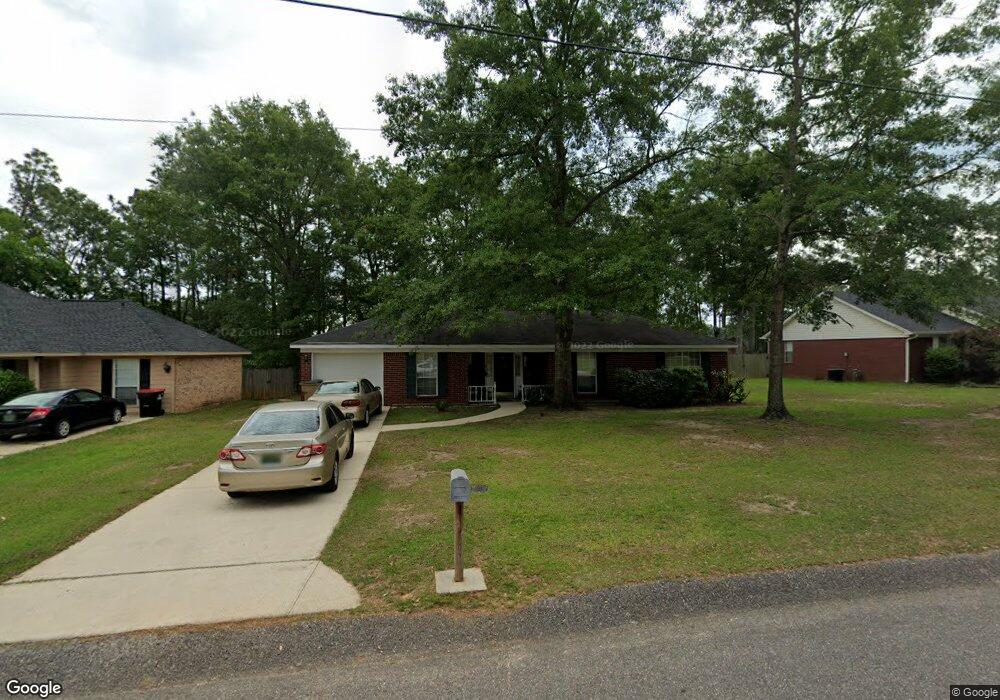
6705 Barnes Dr E Theodore, AL 36582
Westfield NeighborhoodEstimated Value: $158,809 - $216,000
About This Home
This home is located at 6705 Barnes Dr E, Theodore, AL 36582 and is currently estimated at $196,452, approximately $163 per square foot. 6705 Barnes Dr E is a home located in Mobile County with nearby schools including Nan Gray Davis Elementary School, Katherine H Hankins Middle School, and Theodore High School.
Ownership History
We collect this data history from publicly available records. To have your information removed, we recommend requesting removal directly through your county’s website.
Purchase Details
Purchase Details
Home Financials for this Owner
Home Financials are based on the most recent Mortgage that was taken out on this home.Home Values in the Area
Average Home Value in this Area
Purchase History
We collect this data history from publicly available records. To have your information removed, we recommend requesting removal directly through your county’s website.
| Date | Buyer | Sale Price | Title Company |
|---|---|---|---|
| -- | -- | ||
| -- | -- |
Mortgage History
We collect this data history from publicly available records. To have your information removed, we recommend requesting removal directly through your county’s website.
| Date | Status | Borrower | Loan Amount |
|---|---|---|---|
| Previous Owner | $72,202 |
Tax History
We collect this data history from publicly available records. To have your information removed, we recommend requesting removal directly through your county’s website.
| Year | Tax Paid | Tax Assessment Tax Assessment Total Assessment is a certain percentage of the fair market value that is determined by local assessors to be the total taxable value of land and additions on the property. | Land | Improvement |
|---|---|---|---|---|
| 2025 | $756 | $14,840 | $3,000 | $11,840 |
| 2024 | $756 | $13,560 | $2,800 | $10,760 |
| 2023 | $711 | $13,200 | $2,800 | $10,400 |
| 2022 | $523 | $12,160 | $2,800 | $9,360 |
| 2021 | $467 | $11,020 | $2,800 | $8,220 |
| 2020 | $461 | $10,880 | $2,800 | $8,080 |
| 2019 | $476 | $11,200 | $0 | $0 |
| 2018 | $456 | $10,780 | $0 | $0 |
| 2017 | $456 | $10,780 | $0 | $0 |
| 2016 | $444 | $10,540 | $0 | $0 |
| 2013 | $470 | $10,980 | $0 | $0 |
Map
- 6740 Barnes Dr E
- 6241 Woodside Dr
- 0 Nan Gray Davis Rd Unit 7732483
- 6780 Barnes Dr E
- 6157 Magnolia Trace N
- 6382 Woodside Dr N
- 7057 Arbor Dr
- 6500 Oaklane Dr
- 6701 Browder Dr
- 7215 Broadview Dr E
- 6361 Rester Rd
- 6760 Barneswood Dr
- 6738 Barneswood Dr
- 6776 Barneswood Dr
- 6711 Highmont Dr
- 6795 Browder Dr
- 0 Rester Rd
- 6028 Creek Side Trail
- 0 Highway 90 Unit 7630566
- 0 Highway 90 Unit 7394848
- 6695 Barnes Dr E
- 6715 Barnes Dr E
- 6700 Barnes Dr E
- 6685 Barnes Dr E
- 6651 Nan Gray Davis Rd
- 6720 Barnes Dr E
- 6252 Woodside Dr S
- 6263 Woodside Dr S
- 6730 Barnes Dr E
- 6735 Barnes Dr E
- 6262 Woodside Dr S
- 6273 Woodside Dr S
- 6709 Barnes Dr W
- 6272 Woodside Dr S
- 6251 Woodside Dr
- 6745 Barnes Dr E
- 6719 Barnes Dr W
- 6283 Woodside Dr S
- 6261 Woodside Dr
- 6282 Woodside Dr S
Ask me questions while you tour the home.