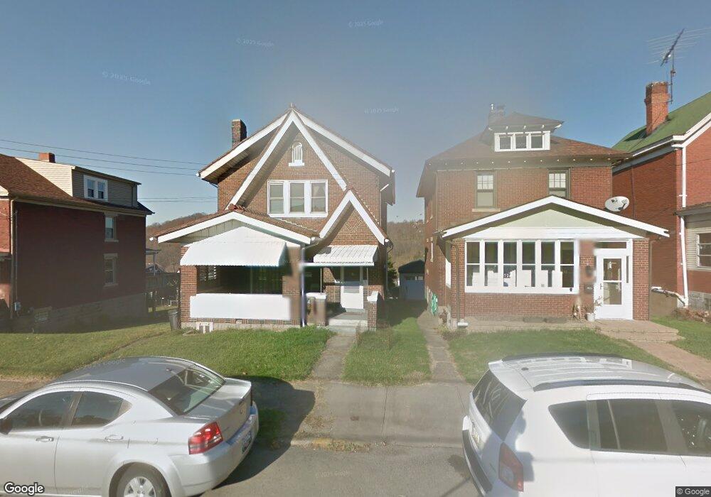
671 6th St Trafford, PA 15085
Estimated Value: $63,457 - $175,000
Studio
--
Bath
--
Sq Ft
6,011
Sq Ft Lot Lot
About This Home
This home is located at 671 6th St, Trafford, PA 15085 and is currently estimated at $136,114. 671 6th St is a home located in Westmoreland County with nearby schools including Penn Trafford High School.
Ownership History
Date
Name
Owned For
Owner Type
Purchase Details
Closed on
Dec 29, 2005
Sold by
Mlinaric George and Mlinaric Anita
Bought by
Campbell Patricia
Current Estimated Value
Home Financials for this Owner
Home Financials are based on the most recent Mortgage that was taken out on this home.
Original Mortgage
$80,300
Outstanding Balance
$43,583
Interest Rate
6.28%
Mortgage Type
Fannie Mae Freddie Mac
Estimated Equity
$92,531
Create a Home Valuation Report for This Property
The Home Valuation Report is an in-depth analysis detailing your home's value as well as a comparison with similar homes in the area
Home Values in the Area
Average Home Value in this Area
Purchase History
We collect this data history from publicly available records. To have your information removed, we recommend requesting removal directly through your county’s website.
| Date | Buyer | Sale Price | Title Company |
|---|---|---|---|
| Campbell Patricia | $78,000 | -- |
Source: Public Records
Mortgage History
We collect this data history from publicly available records. To have your information removed, we recommend requesting removal directly through your county’s website.
| Date | Status | Borrower | Loan Amount |
|---|---|---|---|
| Open | Campbell Patricia | $80,300 |
Source: Public Records
Tax History
| Year | Tax Paid | Tax Assessment Tax Assessment Total Assessment is a certain percentage of the fair market value that is determined by local assessors to be the total taxable value of land and additions on the property. | Land | Improvement |
|---|---|---|---|---|
| 2026 | $2,526 | $16,430 | $3,550 | $12,880 |
| 2025 | $2,477 | $16,430 | $3,550 | $12,880 |
| 2024 | $2,460 | $16,430 | $3,550 | $12,880 |
| 2023 | $2,345 | $16,430 | $3,550 | $12,880 |
| 2022 | $2,321 | $16,430 | $3,550 | $12,880 |
| 2021 | $2,304 | $16,430 | $3,550 | $12,880 |
| 2020 | $2,288 | $16,430 | $3,550 | $12,880 |
| 2019 | $2,238 | $16,430 | $3,550 | $12,880 |
| 2018 | $2,214 | $16,430 | $3,550 | $12,880 |
| 2017 | $2,181 | $16,430 | $3,550 | $12,880 |
| 2016 | $2,125 | $16,430 | $3,550 | $12,880 |
| 2015 | $2,076 | $16,430 | $3,550 | $12,880 |
| 2014 | $2,043 | $16,430 | $3,550 | $12,880 |
Source: Public Records
Map
Nearby Homes
- 504 Fairmont Ave
- 403 Homewood Ave
- 522 Cavitt Ave
- 545 6th St
- 517 Cavitt Ave
- 217 Fairmont Ave
- 204 2nd St
- 222 Adrian Ave
- 168 E Gilmore Ave
- 107 Cavitt Ave
- 1015 1st St Extension
- 115 Brinton Ave
- - Old Ramsey Rd
- 1870 Haymaker Rd
- 1872 Old Ramsey Rd
- 105 Regal Ct
- 310 Penn Lear Ct
- 105 Pine St
- 117 Horizon Dr Unit E
- 120 Windsor Ct
Your Personal Tour Guide
Ask me questions while you tour the home.