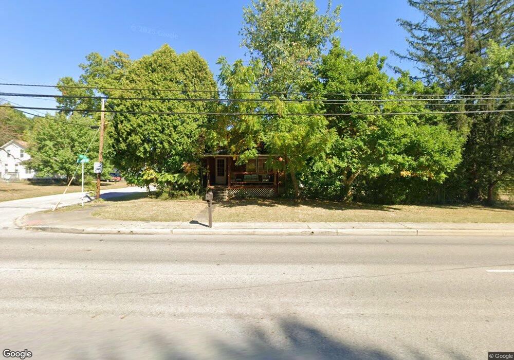
671 Darrow Rd Akron, OH 44305
Goodyear Heights NeighborhoodEstimated Value: $144,000 - $191,000
About This Home
This home is located at 671 Darrow Rd, Akron, OH 44305 and is currently estimated at $164,071, approximately $133 per square foot. 671 Darrow Rd is a home located in Summit County with nearby schools including Ellet High School, Summit Academy Akron Elementary School, and Cornerstone Community School.
Ownership History
We collect this data history from publicly available records. To have your information removed, we recommend requesting removal directly through your county’s website.
Purchase Details
Purchase Details
Purchase Details
Purchase Details
Purchase Details
Purchase Details
Home Financials for this Owner
Home Financials are based on the most recent Mortgage that was taken out on this home.Purchase Details
Home Financials for this Owner
Home Financials are based on the most recent Mortgage that was taken out on this home.Home Values in the Area
Average Home Value in this Area
Purchase History
We collect this data history from publicly available records. To have your information removed, we recommend requesting removal directly through your county’s website.
| Date | Buyer | Sale Price | Title Company |
|---|---|---|---|
| -- | Bennett Land Title | ||
| $29,100 | Attorney | ||
| $87,300 | None Available | ||
| -- | None Available | ||
| -- | -- | ||
| $72,900 | Miller Examining Service Inc | ||
| $55,000 | -- |
Mortgage History
We collect this data history from publicly available records. To have your information removed, we recommend requesting removal directly through your county’s website.
| Date | Status | Borrower | Loan Amount |
|---|---|---|---|
| Previous Owner | $72,304 | ||
| Previous Owner | $52,250 |
Tax History
We collect this data history from publicly available records. To have your information removed, we recommend requesting removal directly through your county’s website.
| Year | Tax Paid | Tax Assessment Tax Assessment Total Assessment is a certain percentage of the fair market value that is determined by local assessors to be the total taxable value of land and additions on the property. | Land | Improvement |
|---|---|---|---|---|
| 2026 | $5,819 | $49,718 | $11,526 | $38,192 |
| 2025 | $3,074 | $49,718 | $11,526 | $38,192 |
| 2024 | $3,074 | $49,718 | $11,526 | $38,192 |
| 2023 | $3,074 | $49,718 | $11,526 | $38,192 |
| 2022 | $2,722 | $33,828 | $7,735 | $26,093 |
| 2021 | $2,625 | $33,828 | $7,735 | $26,093 |
| 2020 | $2,690 | $33,830 | $7,740 | $26,090 |
| 2019 | $2,120 | $22,870 | $5,960 | $16,910 |
| 2018 | $2,097 | $22,870 | $5,960 | $16,910 |
| 2017 | $2,074 | $22,870 | $5,960 | $16,910 |
| 2016 | $2,076 | $22,870 | $5,960 | $16,910 |
| 2015 | $2,074 | $22,870 | $5,960 | $16,910 |
| 2014 | $2,061 | $22,870 | $5,960 | $16,910 |
| 2013 | $2,487 | $23,240 | $5,960 | $17,280 |
Map
- 466 Brewer Ave
- 592 Eastglen Cir
- 473 Leeds St
- 806 Tallkron Dr
- 434 Carruthers Rd
- 537 Eric Dr
- 142 van Evera Rd
- 158 van Evera Rd
- 432 Pickwick Ln
- 2506 Income Dr
- 2116 Newton St
- 251 Westberry Cir Unit 251
- 425 Frazier Ave
- 2033 Eastlawn Ave
- 0 Juniata Rd
- 428 Seaman Ave
- 1044 Ledgebrook Dr
- 390 Southeast Ave
- 408 Newton St
- 405 the Brooklands
Ask me questions while you tour the home.