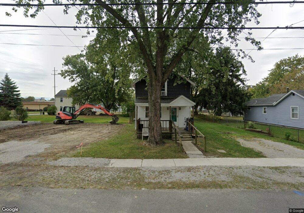
671 E Mark St Marion, OH 43302
Estimated Value: $24,192 - $166,000
2
Beds
1
Bath
1,116
Sq Ft
$71/Sq Ft
Est. Value
About This Home
This home is located at 671 E Mark St, Marion, OH 43302 and is currently estimated at $79,548, approximately $71 per square foot. 671 E Mark St is a home located in Marion County with nearby schools including George Washington Elementary School, Ulysses S. Grant Middle School, and Harding High School.
Ownership History
Date
Name
Owned For
Owner Type
Purchase Details
Closed on
May 23, 2025
Sold by
Mathis Robert L
Bought by
Lolas Properties Llc
Current Estimated Value
Purchase Details
Closed on
Apr 22, 2021
Sold by
Burtch Sheryl L and Perry Stanley R
Bought by
Mathis Robert L
Purchase Details
Closed on
Mar 19, 2021
Bought by
Stanley R Perry
Purchase Details
Closed on
Mar 30, 1993
Bought by
Perry Stanley R and Perry Mildred M
Create a Home Valuation Report for This Property
The Home Valuation Report is an in-depth analysis detailing your home's value as well as a comparison with similar homes in the area
Home Values in the Area
Average Home Value in this Area
Purchase History
| Date | Buyer | Sale Price | Title Company |
|---|---|---|---|
| Lolas Properties Llc | $25,000 | None Listed On Document | |
| Lolas Properties Llc | $25,000 | None Listed On Document | |
| Mathis Robert L | $20,000 | None Available | |
| Stanley R Perry | -- | -- | |
| Perry Stanley R | $20,000 | -- |
Source: Public Records
Tax History
| Year | Tax Paid | Tax Assessment Tax Assessment Total Assessment is a certain percentage of the fair market value that is determined by local assessors to be the total taxable value of land and additions on the property. | Land | Improvement |
|---|---|---|---|---|
| 2025 | $1,210 | $24,020 | $2,740 | $21,280 |
| 2024 | $1,210 | $17,980 | $2,610 | $15,370 |
| 2023 | $1,210 | $17,980 | $2,610 | $15,370 |
| 2022 | $1,131 | $17,980 | $2,610 | $15,370 |
| 2021 | $177 | $13,280 | $2,060 | $11,220 |
| 2020 | $177 | $13,280 | $2,060 | $11,220 |
| 2019 | $176 | $13,280 | $2,060 | $11,220 |
| 2018 | $184 | $13,490 | $2,050 | $11,440 |
| 2017 | $187 | $13,490 | $2,050 | $11,440 |
| 2016 | $184 | $13,490 | $2,050 | $11,440 |
| 2015 | $176 | $13,180 | $1,960 | $11,220 |
| 2014 | $178 | $13,180 | $1,960 | $11,220 |
| 2012 | $585 | $14,630 | $2,000 | $12,630 |
Source: Public Records
Map
Nearby Homes
- 250 N Grand Ave
- 516 Polk St
- 393 E George St
- 151 Barnhart St
- 174 Barnhart St
- 714 E Church St
- 194 Chicago Ave
- 569 E Church St
- 210 Hane Ave
- 222 Uhler Ave
- 537 Fair Park Ave
- 223 Forest Lawn Blvd
- 271 Uhler Ave
- 279 E Fairground St
- 310 Hane Ave
- 212 Short St
- 434 N State St
- 197 Franconia Ave
- 354 Franklin St
- 530 Littleton St
- 669 E Mark St
- 379 Jefferson St
- 365 Jefferson St
- 670 E Mark St
- 670 E Farming St
- 651 E Mark St
- 584 Jefferson St
- 345 Jefferson St
- 676 E Mark St
- 680 E Mark St
- 666 E Mark St
- 660 E Mark St
- 641 E Mark St
- 654 E Farming St
- 654 E Farming St
- 654 E Mark St
- 650 E Mark St
- 638 E Farming St
- 637 E Mark St
- 644 E Mark St
Your Personal Tour Guide
Ask me questions while you tour the home.