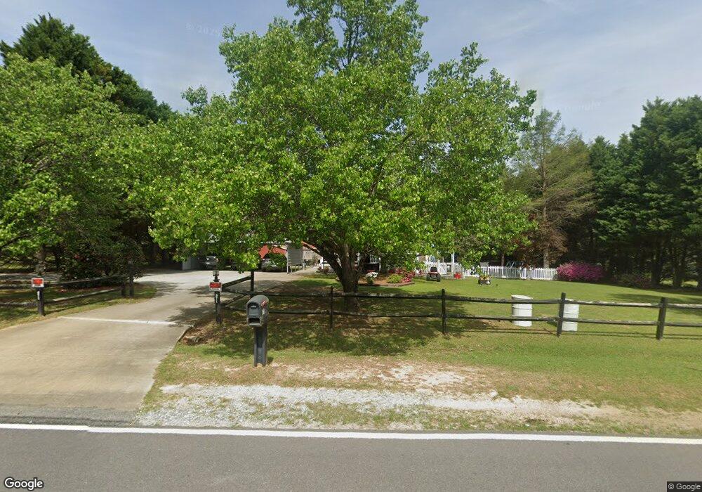
671 Pierce Rd Garner, NC 27529
Estimated Value: $299,000 - $435,000
3
Beds
2
Baths
1,712
Sq Ft
$211/Sq Ft
Est. Value
About This Home
This home is located at 671 Pierce Rd, Garner, NC 27529 and is currently estimated at $360,451, approximately $210 per square foot. 671 Pierce Rd is a home located in Johnston County with nearby schools including West View Elementary School, Cleveland Middle School, and West Johnston High School.
Ownership History
Date
Name
Owned For
Owner Type
Purchase Details
Closed on
Oct 25, 2024
Sold by
Brown Diane L and Bowling Randy A
Bought by
Bowling Randy A and Bowling Diana L
Current Estimated Value
Home Financials for this Owner
Home Financials are based on the most recent Mortgage that was taken out on this home.
Original Mortgage
$159,849
Outstanding Balance
$157,418
Interest Rate
6.09%
Mortgage Type
FHA
Estimated Equity
$203,033
Purchase Details
Closed on
Jan 29, 2009
Sold by
Watson Chip A and Watson Suzi B
Bought by
Bowling Randy A and Brown Diane L
Home Financials for this Owner
Home Financials are based on the most recent Mortgage that was taken out on this home.
Original Mortgage
$147,181
Interest Rate
5.08%
Mortgage Type
FHA
Create a Home Valuation Report for This Property
The Home Valuation Report is an in-depth analysis detailing your home's value as well as a comparison with similar homes in the area
Home Values in the Area
Average Home Value in this Area
Purchase History
We collect this data history from publicly available records. To have your information removed, we recommend requesting removal directly through your county’s website.
| Date | Buyer | Sale Price | Title Company |
|---|---|---|---|
| Bowling Randy A | -- | None Listed On Document | |
| Bowling Randy A | $150,000 | None Available |
Source: Public Records
Mortgage History
We collect this data history from publicly available records. To have your information removed, we recommend requesting removal directly through your county’s website.
| Date | Status | Borrower | Loan Amount |
|---|---|---|---|
| Open | Bowling Randy A | $159,849 | |
| Previous Owner | Bowling Randy A | $147,181 |
Source: Public Records
Tax History
| Year | Tax Paid | Tax Assessment Tax Assessment Total Assessment is a certain percentage of the fair market value that is determined by local assessors to be the total taxable value of land and additions on the property. | Land | Improvement |
|---|---|---|---|---|
| 2025 | $2,109 | $332,090 | $72,100 | $259,990 |
| 2024 | $1,548 | $191,060 | $51,500 | $139,560 |
| 2023 | $1,495 | $191,060 | $51,500 | $139,560 |
| 2022 | $1,571 | $191,060 | $51,500 | $139,560 |
| 2021 | $1,571 | $191,060 | $51,500 | $139,560 |
| 2020 | $1,593 | $191,060 | $51,500 | $139,560 |
| 2019 | $1,593 | $191,060 | $51,500 | $139,560 |
| 2018 | $1,270 | $148,680 | $39,140 | $109,540 |
| 2017 | $1,270 | $148,680 | $39,140 | $109,540 |
| 2016 | $1,193 | $139,660 | $39,140 | $100,520 |
| 2015 | $1,196 | $139,660 | $39,140 | $100,520 |
| 2014 | $1,191 | $139,660 | $39,140 | $100,520 |
Source: Public Records
Map
Nearby Homes
- 102 Sherrill Place Ln
- 113 Hogan Dr
- 36 Miry Branch Ct
- 41 Gladwood Way
- 705 Glen Rd Unit 106
- 109 Dandy Flush Ct
- 1409 Viola Place
- 40 Reunion Ct
- 122 Callahan Trail
- 121 Telluride Trail
- 188 Outwater Ridge Dr
- 27 Heron Point Way
- 143 Dando St
- 214 Marsh Creek Dr
- 267 Meadowmist Dr
- 406 Boone Trail
- 433 Summerwind Plantation Dr
- 17 Belgian Blue Dr
- 60 Pepper Ln
- 210 Ivey Gate Ln
- 681 Pierce Rd
- 661 Pierce Rd
- 687 Pierce Rd
- 931 Pierce Rd
- 714 Pierce Rd
- 638 Pierce Rd
- 619 Pierce Rd
- 601 Pierce Rd
- 616 Pierce Rd
- 701 Pierce Rd
- 629 Pierce Rd
- 628 Pierce Rd
- 315 Princess Dr
- 602 Pierce Rd
- 156 Brody Pine Way
- 156 Brody Pine Way Unit Lot 16 Millie C
- 172 Brody Pine Way
- 172 Brody Pine Way Unit Lot 17 Stella C
- 580 Pierce Rd
- 323 Princess Dr
Your Personal Tour Guide
Ask me questions while you tour the home.