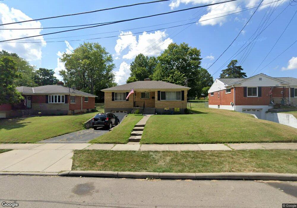
6711 Jamar Dr Cincinnati, OH 45224
Estimated Value: $199,317 - $242,000
About This Home
This home is located at 6711 Jamar Dr, Cincinnati, OH 45224 and is currently estimated at $217,079, approximately $192 per square foot. 6711 Jamar Dr is a home located in Hamilton County with nearby schools including North College Hill Elementary School, North College Hill Middle School, and North College Hill High School.
Ownership History
We collect this data history from publicly available records. To have your information removed, we recommend requesting removal directly through your county’s website.
Purchase Details
Home Financials for this Owner
Home Financials are based on the most recent Mortgage that was taken out on this home.Home Values in the Area
Average Home Value in this Area
Purchase History
We collect this data history from publicly available records. To have your information removed, we recommend requesting removal directly through your county’s website.
| Date | Buyer | Sale Price | Title Company |
|---|---|---|---|
| $91,000 | United Title Agency Of Cinci |
Mortgage History
We collect this data history from publicly available records. To have your information removed, we recommend requesting removal directly through your county’s website.
| Date | Status | Borrower | Loan Amount |
|---|---|---|---|
| Open | $90,950 |
Tax History
We collect this data history from publicly available records. To have your information removed, we recommend requesting removal directly through your county’s website.
| Year | Tax Paid | Tax Assessment Tax Assessment Total Assessment is a certain percentage of the fair market value that is determined by local assessors to be the total taxable value of land and additions on the property. | Land | Improvement |
|---|---|---|---|---|
| 2025 | $2,639 | $50,869 | $9,562 | $41,307 |
| 2023 | $2,596 | $50,869 | $9,562 | $41,307 |
| 2022 | $2,303 | $32,204 | $8,057 | $24,147 |
| 2021 | $2,254 | $32,204 | $8,057 | $24,147 |
| 2020 | $1,978 | $32,204 | $8,057 | $24,147 |
| 2019 | $1,940 | $28,249 | $7,067 | $21,182 |
| 2018 | $1,941 | $28,249 | $7,067 | $21,182 |
| 2017 | $1,835 | $28,249 | $7,067 | $21,182 |
| 2016 | $1,845 | $30,185 | $9,258 | $20,927 |
| 2015 | $1,850 | $30,185 | $9,258 | $20,927 |
| 2014 | $1,848 | $30,185 | $9,258 | $20,927 |
| 2013 | $1,810 | $30,489 | $9,352 | $21,137 |
Map
- 6769 Richard Ave
- 6709 Devonwood Dr
- 6785 Marvin Ave
- 1291 W Galbraith Rd
- 1277 Brushwood Ave
- 6916 Kleindale Ave
- 6924 Clovernook Ave
- 6926 Kleindale Ave
- 1544 W Galbraith Rd
- 1533 Corcoran Place
- 7811 Bitteroot Ln
- 6481 Devonwood Dr
- 1290 Norman Ave
- 1586 W Galbraith Rd
- 1499 Clovernoll Dr
- 1209 W Galbraith Rd
- 1215 Hollywood Ave
- 6538 S Oak Knoll Dr
- 1631 Goodman Ave
- 6586 Parrish Ave
- 6713 Jamar Dr
- 1323 Telford Ave
- 1321 Telford Ave
- 6709 Jamar Dr
- 1325 Telford Ave
- 6707 Jamar Dr
- 6790 Richard Ave
- 6782 Richard Ave
- 6794 Richard Ave
- 6778 Richard Ave
- 6796 Richard Ave
- 6714 Jamar Dr
- 6712 Jamar Dr
- 6705 Jamar Dr
- 6716 Jamar Dr
- 6774 Richard Ave
- 6710 Jamar Dr
- 6718 Jamar Dr
- 1324 Telford Ave
- 6708 Jamar Dr
Ask me questions while you tour the home.