Estimated Value: $816,747 - $1,083,000
3
Beds
2
Baths
1,975
Sq Ft
$487/Sq Ft
Est. Value
About This Home
This home is located at 67161 Fryrear Rd, Bend, OR 97701 and is currently estimated at $962,687, approximately $487 per square foot. 67161 Fryrear Rd is a home located in Deschutes County with nearby schools including Sisters Elementary School, Sisters Middle School, and Sisters High School.
Ownership History
Date
Name
Owned For
Owner Type
Purchase Details
Closed on
Feb 7, 2008
Sold by
Carroll Linda R and Dacy Ann M
Bought by
Carroll Linda R and Dacy Ann M
Current Estimated Value
Purchase Details
Closed on
Apr 9, 2007
Sold by
Lake Judith S
Bought by
Dacy Ann M and Carroll Linda R
Home Financials for this Owner
Home Financials are based on the most recent Mortgage that was taken out on this home.
Original Mortgage
$336,000
Outstanding Balance
$198,774
Interest Rate
5.85%
Mortgage Type
Unknown
Estimated Equity
$763,913
Create a Home Valuation Report for This Property
The Home Valuation Report is an in-depth analysis detailing your home's value as well as a comparison with similar homes in the area
Purchase History
| Date | Buyer | Sale Price | Title Company |
|---|---|---|---|
| Carroll Linda R | -- | None Available | |
| Dacy Ann M | $480,000 | Western Title & Escrow Co |
Source: Public Records
Mortgage History
| Date | Status | Borrower | Loan Amount |
|---|---|---|---|
| Open | Dacy Ann M | $336,000 |
Source: Public Records
Tax History
| Year | Tax Paid | Tax Assessment Tax Assessment Total Assessment is a certain percentage of the fair market value that is determined by local assessors to be the total taxable value of land and additions on the property. | Land | Improvement |
|---|---|---|---|---|
| 2025 | $4,879 | $328,830 | -- | -- |
| 2024 | $4,719 | $319,260 | -- | -- |
| 2023 | $4,582 | $309,970 | $0 | $0 |
| 2022 | $4,212 | $292,190 | $0 | $0 |
| 2021 | $4,024 | $283,680 | $0 | $0 |
| 2020 | $3,815 | $283,680 | $0 | $0 |
| 2019 | $3,723 | $275,420 | $0 | $0 |
| 2018 | $3,626 | $267,400 | $0 | $0 |
| 2017 | $3,499 | $259,620 | $0 | $0 |
| 2016 | $3,443 | $252,060 | $0 | $0 |
| 2015 | $3,226 | $244,720 | $0 | $0 |
| 2014 | $3,023 | $237,600 | $0 | $0 |
Source: Public Records
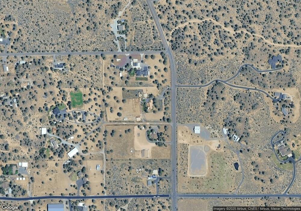
Map
Nearby Homes
- 67134 Central St
- 17940 4th Ave
- 67100 Fryrear Rd
- 18070 Cascade Estates Dr
- 18025 Cascade Estates Dr
- 18025 2nd Ave
- 17949 Cascade Estates Dr
- 67070 Paradise Aly
- 67480 Cloverdale Rd
- 68050 Fryrear Rd
- 67276 Gist Rd
- 17415 Kent Rd
- 17358 Ivy Ln
- 67439 U S 20
- 17500 Forked Horn Dr
- 19040 Dusty Loop
- 66511 Ponderosa Loop
- 67554 Trout Ln
- 64225 Sisemore Rd
- 65930 Mariposa Ln
- 18175 4th Ave
- 67133 Fryrear Rd
- 67111 Fryrear Rd
- 18135 4th Ave
- 18190 4th Ave
- 67149 Fryrear Rd
- 67143 Fryrear Rd
- 67143 Fryrear Rd
- 18120 3rd Ave
- 18238 Fryrear Ranch Rd
- 18159 3rd Ave
- 18125 3rd Ave Unit RR2
- 18125 3rd Ave
- 3 4th Ave
- 67281 Fryrear Rd
- 67120 Central St
- 18180 4th Ave
- 67168 Central St
- 67065 Fryrear Rd
- 67190 Central St
Your Personal Tour Guide
Ask me questions while you tour the home.