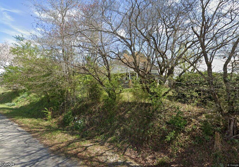
672 Dallas Loop Rd Trafford, AL 35172
Estimated Value: $176,000 - $440,000
Studio
--
Bath
1,330
Sq Ft
$217/Sq Ft
Est. Value
About This Home
This home is located at 672 Dallas Loop Rd, Trafford, AL 35172 and is currently estimated at $288,543, approximately $216 per square foot. 672 Dallas Loop Rd is a home located in Blount County with nearby schools including Locust Fork Elementary School and Locust Fork High School.
Ownership History
Date
Name
Owned For
Owner Type
Purchase Details
Closed on
Apr 19, 2006
Sold by
Jennings Norma Blackwood and Arrington Maxine
Bought by
Patrick Jeffrey and Patrick Sandy
Current Estimated Value
Home Financials for this Owner
Home Financials are based on the most recent Mortgage that was taken out on this home.
Original Mortgage
$222,848
Outstanding Balance
$83,132
Interest Rate
6.28%
Mortgage Type
Purchase Money Mortgage
Estimated Equity
$205,411
Create a Home Valuation Report for This Property
The Home Valuation Report is an in-depth analysis detailing your home's value as well as a comparison with similar homes in the area
Purchase History
| Date | Buyer | Sale Price | Title Company |
|---|---|---|---|
| Patrick Jeffrey | $275,000 | -- |
Source: Public Records
Mortgage History
| Date | Status | Borrower | Loan Amount |
|---|---|---|---|
| Open | Patrick Jeffrey | $222,848 |
Source: Public Records
Tax History
| Year | Tax Paid | Tax Assessment Tax Assessment Total Assessment is a certain percentage of the fair market value that is determined by local assessors to be the total taxable value of land and additions on the property. | Land | Improvement |
|---|---|---|---|---|
| 2024 | $486 | $13,840 | $1,080 | $12,760 |
| 2023 | $392 | $13,840 | $1,080 | $12,760 |
| 2022 | $355 | $12,700 | $1,080 | $11,620 |
| 2021 | $304 | $11,140 | $920 | $10,220 |
| 2020 | $281 | $9,900 | $920 | $8,980 |
| 2019 | $264 | $9,900 | $920 | $8,980 |
| 2018 | $264 | $9,900 | $920 | $8,980 |
| 2017 | $192 | $7,700 | $0 | $0 |
| 2015 | -- | $7,560 | $0 | $0 |
| 2014 | -- | $7,560 | $0 | $0 |
| 2013 | -- | $6,460 | $0 | $0 |
Source: Public Records
Map
Nearby Homes
- 0 Alabama 79 Unit 21444819
- 3708 Spunky Hollow Rd
- 87 Youngblood Ln
- 975 Spunky Hollow Rd
- 191 Hagwood Cir
- 496 Tawbush Rd
- 167 Hagwood Cir
- 115 Holt Dr
- 61 Cedar Cir
- 787 Spunky Hollow Rd
- 148 Willow Ln
- 775 Mountain Dr
- 10 Acres Mountain Dr
- 0 Dorning Rd Unit 21447574
- 54 Pine Ridge Dr
- 4490 Spunky Hollow Rd
- 0 Center Hill Rd Unit 21444372
- 1009 Deaver Walker Rd
- 2121 Center Hill Rd
- 0 County Line Rd Unit 21444546
- 708 Dallas Loop Rd
- 25350 State Highway 79
- 25350 State Highway 79
- 25350 State Highway 79
- 570 Dallas Loop Rd
- 25303 State Highway 79
- 25303 State Highway 79
- 25370 Alabama 79
- 539 Dallas Loop Rd
- 484 Dallas Loop Rd
- 484 Dallas Loop Rd
- 491 Dallas Loop Rd
- 25377 State Highway 79
- 25335 State Highway 79
- 474 Dallas Loop Rd
- 474 Dallas Loop Rd
- 25045 State Highway 79
- 526 Dallas Loop Rd
- 432 Dallas Loop Rd
- 2 Reid Rd
Your Personal Tour Guide
Ask me questions while you tour the home.