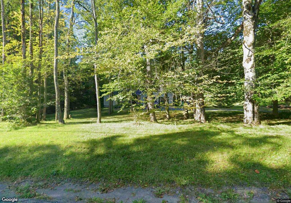
673 Flintstone Rd Windsor, MA 01270
Estimated Value: $525,000 - $681,000
3
Beds
3
Baths
2,429
Sq Ft
$249/Sq Ft
Est. Value
About This Home
This home is located at 673 Flintstone Rd, Windsor, MA 01270 and is currently estimated at $605,554, approximately $249 per square foot. 673 Flintstone Rd is a home located in Berkshire County with nearby schools including Wahconah Regional High School.
Ownership History
Date
Name
Owned For
Owner Type
Purchase Details
Closed on
Sep 9, 2005
Sold by
Dyer Lynne M and Dyer Mark A
Bought by
Himes Charles G and Himes Elisabeth A
Current Estimated Value
Home Financials for this Owner
Home Financials are based on the most recent Mortgage that was taken out on this home.
Original Mortgage
$220,000
Interest Rate
5.79%
Mortgage Type
Purchase Money Mortgage
Purchase Details
Closed on
Dec 12, 2000
Sold by
Karpinski Paul P and Karpinski Sharon B
Bought by
Dyer Mark A and Dyer Lynne M
Home Financials for this Owner
Home Financials are based on the most recent Mortgage that was taken out on this home.
Original Mortgage
$150,000
Interest Rate
7.64%
Mortgage Type
Purchase Money Mortgage
Purchase Details
Closed on
Jul 12, 1995
Sold by
Kowalczyk Richard W and Kowalczyk Robert A
Bought by
Kasrpinski Paul R and Karpinski Sharon B
Create a Home Valuation Report for This Property
The Home Valuation Report is an in-depth analysis detailing your home's value as well as a comparison with similar homes in the area
Home Values in the Area
Average Home Value in this Area
Purchase History
| Date | Buyer | Sale Price | Title Company |
|---|---|---|---|
| Himes Charles G | $375,000 | -- | |
| Dyer Mark A | $197,500 | -- | |
| Kasrpinski Paul R | $132,000 | -- |
Source: Public Records
Mortgage History
| Date | Status | Borrower | Loan Amount |
|---|---|---|---|
| Open | Kasrpinski Paul R | $170,000 | |
| Closed | Himes Charles G | $220,000 | |
| Previous Owner | Kasrpinski Paul R | $45,400 | |
| Previous Owner | Kasrpinski Paul R | $150,000 | |
| Previous Owner | Kasrpinski Paul R | $50,000 |
Source: Public Records
Tax History
| Year | Tax Paid | Tax Assessment Tax Assessment Total Assessment is a certain percentage of the fair market value that is determined by local assessors to be the total taxable value of land and additions on the property. | Land | Improvement |
|---|---|---|---|---|
| 2025 | $5,044 | $444,800 | $31,100 | $413,700 |
| 2024 | $4,926 | $426,900 | $36,600 | $390,300 |
| 2023 | $4,734 | $361,100 | $36,000 | $325,100 |
| 2022 | $4,739 | $360,400 | $35,300 | $325,100 |
| 2021 | $4,625 | $354,400 | $35,300 | $319,100 |
| 2020 | $4,527 | $321,500 | $34,000 | $287,500 |
| 2019 | $4,513 | $339,100 | $34,000 | $305,100 |
| 2018 | $4,170 | $309,800 | $35,300 | $274,500 |
| 2017 | $3,866 | $284,700 | $37,900 | $246,800 |
| 2016 | $3,882 | $289,900 | $43,100 | $246,800 |
| 2015 | $4,000 | $300,500 | $51,000 | $249,500 |
| 2014 | $3,989 | $303,100 | $53,600 | $249,500 |
Source: Public Records
Map
Nearby Homes
- 0 North St
- 867 Notch Rd
- 218 Johnson Rd
- 65 Johnson Rd
- 0 Crane Ave Suite 2 -- Unit 248430
- 0 Crane Ave Suite 1 -- Unit 248429
- 319 North St
- 1157 Main St
- 190 Fox Rd
- 60 Franklin St
- 70 Lake St Unit B
- 32 Marcella Way
- 1030 Main St
- 188 North St
- 20 Prospect St
- 60 North St Unit 7
- 14 & 15 George Schnopp Rd
- 141 Griffin Hill Rd
- 19 Fisk St
- 750 Main St
- 645 Flintstone Rd
- 670 Flintstone Rd
- 692 Flintstone Rd
- 642 Flintstone Rd
- 593 Flintstone Rd
- 594 Flintstone Rd
- 751 Flintstone Rd
- 670 Flinstone Rd
- 710 Flintstone Rd
- 750 Flintstone Rd
- 0 Flinstone Rd
- 0 Flinstone Rd
- 0 Flinstone Rd
- 801 Flintstone Rd
- 539 Flintstone Rd
- 833 Flintstone Rd
- 477 Flintstone Rd
- 477 Flinstone Rd
- 879 Flintstone Rd
- 832 Flintstone Rd
Your Personal Tour Guide
Ask me questions while you tour the home.