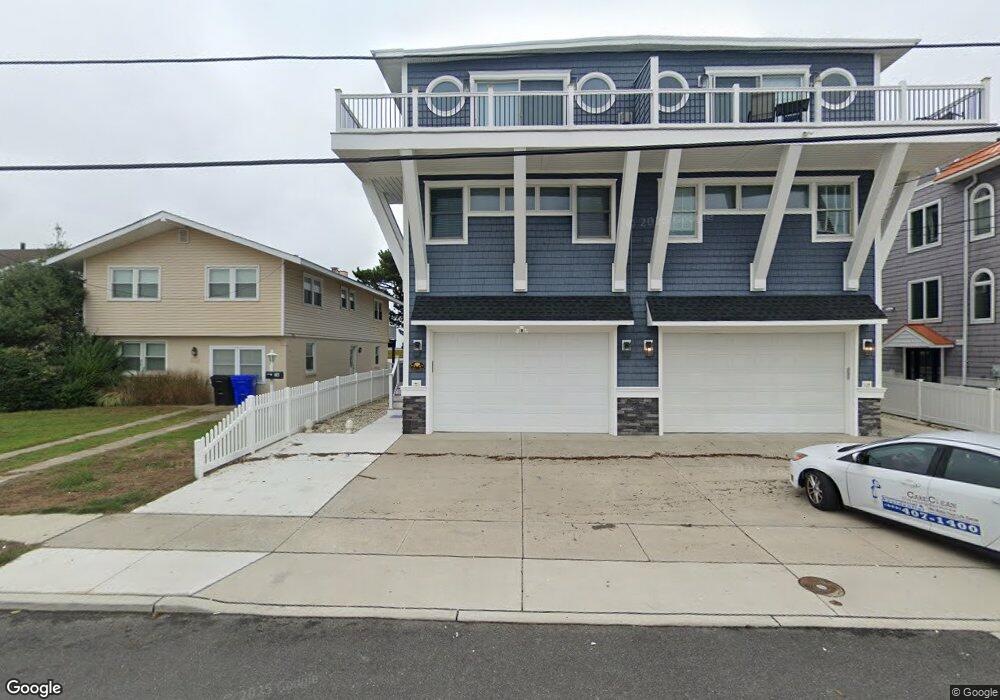
673 Sunrise Dr Avalon, NJ 08202
Estimated Value: $2,459,944 - $4,234,000
Studio
--
Bath
2,944
Sq Ft
$1,130/Sq Ft
Est. Value
About This Home
This home is located at 673 Sunrise Dr, Avalon, NJ 08202 and is currently estimated at $3,326,236, approximately $1,129 per square foot. 673 Sunrise Dr is a home located in Cape May County with nearby schools including Avalon Elementary School.
Ownership History
Date
Name
Owned For
Owner Type
Purchase Details
Closed on
Dec 19, 2014
Sold by
Mullin Kevin E
Bought by
Mullin William B and Mullin Colleen G
Current Estimated Value
Purchase Details
Closed on
Jan 13, 2004
Sold by
Mullin Kevin E
Bought by
Mullin Kevin E and Mullin William B
Home Financials for this Owner
Home Financials are based on the most recent Mortgage that was taken out on this home.
Original Mortgage
$750,000
Outstanding Balance
$304,811
Interest Rate
4.03%
Mortgage Type
Purchase Money Mortgage
Estimated Equity
$3,021,425
Create a Home Valuation Report for This Property
The Home Valuation Report is an in-depth analysis detailing your home's value as well as a comparison with similar homes in the area
Home Values in the Area
Average Home Value in this Area
Purchase History
We collect this data history from publicly available records. To have your information removed, we recommend requesting removal directly through your county’s website.
| Date | Buyer | Sale Price | Title Company |
|---|---|---|---|
| Mullin William B | $650,000 | Seaboard Title Agency | |
| Mullin Kevin E | $395,428 | -- | |
| -- | $395,400 | -- | |
| Mullin Kevin E | $395,428 | Seaboard Title Agency |
Source: Public Records
Mortgage History
We collect this data history from publicly available records. To have your information removed, we recommend requesting removal directly through your county’s website.
| Date | Status | Borrower | Loan Amount |
|---|---|---|---|
| Open | Mullin Kevin E | $750,000 |
Source: Public Records
Tax History
| Year | Tax Paid | Tax Assessment Tax Assessment Total Assessment is a certain percentage of the fair market value that is determined by local assessors to be the total taxable value of land and additions on the property. | Land | Improvement |
|---|---|---|---|---|
| 2025 | $8,955 | $1,458,500 | $925,000 | $533,500 |
| 2024 | $8,955 | $1,458,500 | $925,000 | $533,500 |
| 2023 | $8,882 | $1,458,500 | $925,000 | $533,500 |
| 2022 | $8,284 | $1,458,500 | $925,000 | $533,500 |
| 2021 | $7,438 | $1,458,500 | $925,000 | $533,500 |
| 2020 | $7,672 | $1,458,500 | $925,000 | $533,500 |
| 2019 | $7,438 | $1,458,500 | $925,000 | $533,500 |
| 2018 | $7,117 | $1,458,500 | $925,000 | $533,500 |
| 2017 | $5,429 | $976,500 | $625,000 | $351,500 |
| 2016 | $5,371 | $976,500 | $625,000 | $351,500 |
| 2015 | $5,283 | $976,500 | $625,000 | $351,500 |
| 2014 | -- | $976,500 | $625,000 | $351,500 |
Source: Public Records
Map
Nearby Homes
- 647 Barry Rd
- 733 21st St
- 447 24th St
- 890 21st St
- 408 22nd St
- 389 22nd St
- 401 24th St Unit A
- 386 24th St
- 386 24th St Unit Upper
- 2425 Harbor Ave Unit 2425
- 1719 Ocean Dr Unit 2
- 1838 Dune Dr
- 2108 Dune Dr
- 211 23rd St
- 244 14th St
- 178 19th St
- 2023 Dune Dr Unit R6
- 174 17th St
- 2928 Ocean Dr Unit C-N
- 174 23rd St
- 673 Sunrise Dr
- 673 Sunrise Dr Unit East
- 663 Sunrise Dr
- 663 Sunrise Dr
- 663 Sunrise Dr Unit WEST
- 683 Sunrise Dr
- 653 Sunrise Dr
- 693 Sunrise Dr
- 645 Sunrise Dr
- 674 Sunrise Dr
- 674 Sunrise Dr
- 664 Sunrise Dr
- 664 Sunrise Dr
- 684 Sunrise Dr
- 654 Sunrise Dr
- 643 Sunrise Dr
- 643 Sunrise Dr Unit West
- 697 Sunrise Dr
- 696 Sunrise Dr
- 696 Sunrise Dr
Your Personal Tour Guide
Ask me questions while you tour the home.