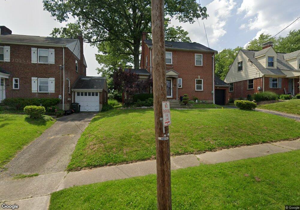
6739 Sampson Ln Cincinnati, OH 45236
Silverton AreaEstimated Value: $219,000 - $310,000
About This Home
This home is located at 6739 Sampson Ln, Cincinnati, OH 45236 and is currently estimated at $277,618, approximately $158 per square foot. 6739 Sampson Ln is a home located in Hamilton County with nearby schools including Silverton Paideia Elementary School, Shroder High School, and Clark Montessori High School.
Ownership History
We collect this data history from publicly available records. To have your information removed, we recommend requesting removal directly through your county’s website.
Purchase Details
Home Financials for this Owner
Home Financials are based on the most recent Mortgage that was taken out on this home.Home Values in the Area
Average Home Value in this Area
Purchase History
We collect this data history from publicly available records. To have your information removed, we recommend requesting removal directly through your county’s website.
| Date | Buyer | Sale Price | Title Company |
|---|---|---|---|
| $104,500 | -- |
Mortgage History
We collect this data history from publicly available records. To have your information removed, we recommend requesting removal directly through your county’s website.
| Date | Status | Borrower | Loan Amount |
|---|---|---|---|
| Open | $81,500 | ||
| Closed | $106,590 | ||
| Previous Owner | $50,000 |
Tax History
We collect this data history from publicly available records. To have your information removed, we recommend requesting removal directly through your county’s website.
| Year | Tax Paid | Tax Assessment Tax Assessment Total Assessment is a certain percentage of the fair market value that is determined by local assessors to be the total taxable value of land and additions on the property. | Land | Improvement |
|---|---|---|---|---|
| 2025 | $3,664 | $58,790 | $12,170 | $46,620 |
| 2024 | $3,353 | $58,790 | $12,170 | $46,620 |
| 2023 | $3,429 | $58,790 | $12,170 | $46,620 |
| 2022 | $2,663 | $38,640 | $9,156 | $29,484 |
| 2021 | $2,594 | $38,640 | $9,156 | $29,484 |
| 2020 | $2,635 | $38,640 | $9,156 | $29,484 |
| 2019 | $2,869 | $37,885 | $8,978 | $28,907 |
| 2018 | $2,874 | $37,885 | $8,978 | $28,907 |
| 2017 | $2,745 | $37,885 | $8,978 | $28,907 |
| 2016 | $2,628 | $35,613 | $8,082 | $27,531 |
| 2015 | $2,377 | $35,613 | $8,082 | $27,531 |
| 2014 | $2,392 | $35,613 | $8,082 | $27,531 |
| 2013 | $2,701 | $39,568 | $8,978 | $30,590 |
Map
- 3938 Grand Ave
- 6809 Stewart Rd
- 7049 Montgomery Rd
- 7045 Montgomery Rd
- 4155 Home St
- 4000 Diehl Ave
- 6832 Kenton Ave
- 3919 E Gatewood Ln
- 6920 Montgomery Rd
- 3948 Odin Ave
- 4223 South Ave
- 6768 Ken Arbre Dr
- 3822 Odin Ave
- 3926 E Gatewood Ln
- 6738 Hampton Dr
- 4207 North Ave
- 3942 Standish Ave
- 6733 Siebern Ave
- 6955 Carroll Ave
- 6815 Montgomery Rd
- 6743 Sampson Ln
- 6735 Sampson Ln
- 6747 Sampson Ln
- 6731 Sampson Ln
- 6749 Sampson Ln
- 6727 Sampson Ln
- 6732 Plainfield Rd
- 6730 Plainfield Rd
- 6734 Plainfield Rd
- 6801 Sampson Ln
- 6728 Plainfield Rd
- 6736 Plainfield Rd
- 6738 Sampson Ln
- 6742 Sampson Ln
- 6723 Sampson Ln
- 6726 Plainfield Rd
- 6734 Sampson Ln
- 6746 Sampson Ln
- 6730 Sampson Ln
- 6724 Plainfield Rd
Ask me questions while you tour the home.