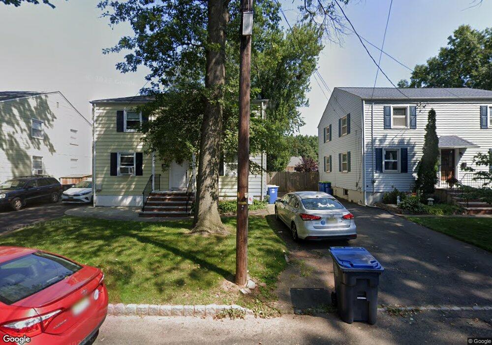
675 Crescent Dr Bound Brook, NJ 08805
Estimated Value: $307,000 - $357,000
Studio
--
Bath
928
Sq Ft
$358/Sq Ft
Est. Value
About This Home
This home is located at 675 Crescent Dr, Bound Brook, NJ 08805 and is currently estimated at $332,601, approximately $358 per square foot. 675 Crescent Dr is a home located in Somerset County with nearby schools including LaMonte Annex Elementary School, Lafayette Elementary School, and Bound Brook High School.
Ownership History
Date
Name
Owned For
Owner Type
Purchase Details
Closed on
Dec 6, 2002
Sold by
Burns Carol
Bought by
Roberts Gary and Roberts Shirleen
Current Estimated Value
Home Financials for this Owner
Home Financials are based on the most recent Mortgage that was taken out on this home.
Original Mortgage
$108,500
Outstanding Balance
$46,371
Interest Rate
6.17%
Estimated Equity
$286,230
Purchase Details
Closed on
Jul 31, 1998
Sold by
Gagnon Richard
Bought by
Burns Carol and Burns Patrick
Home Financials for this Owner
Home Financials are based on the most recent Mortgage that was taken out on this home.
Original Mortgage
$83,000
Interest Rate
6.92%
Purchase Details
Closed on
May 23, 1991
Sold by
Admin Of Vetera S Affairs
Bought by
Bankers Trust Co
Purchase Details
Closed on
Aug 22, 1989
Sold by
Lund Robert H Sheriff
Bought by
Administration Of Veterans Affairs
Create a Home Valuation Report for This Property
The Home Valuation Report is an in-depth analysis detailing your home's value as well as a comparison with similar homes in the area
Home Values in the Area
Average Home Value in this Area
Purchase History
We collect this data history from publicly available records. To have your information removed, we recommend requesting removal directly through your county’s website.
| Date | Buyer | Sale Price | Title Company |
|---|---|---|---|
| Roberts Gary | $155,000 | -- | |
| Burns Carol | $93,000 | -- | |
| Bankers Trust Co | -- | -- | |
| Administration Of Veterans Affairs | $100 | -- |
Source: Public Records
Mortgage History
We collect this data history from publicly available records. To have your information removed, we recommend requesting removal directly through your county’s website.
| Date | Status | Borrower | Loan Amount |
|---|---|---|---|
| Open | Roberts Gary | $108,500 | |
| Previous Owner | Burns Carol | $83,000 |
Source: Public Records
Tax History
| Year | Tax Paid | Tax Assessment Tax Assessment Total Assessment is a certain percentage of the fair market value that is determined by local assessors to be the total taxable value of land and additions on the property. | Land | Improvement |
|---|---|---|---|---|
| 2025 | $6,015 | $287,300 | $208,800 | $78,500 |
| 2024 | $6,015 | $265,100 | $188,800 | $76,300 |
| 2023 | $5,855 | $248,300 | $173,800 | $74,500 |
| 2022 | $5,466 | $219,700 | $148,800 | $70,900 |
| 2021 | $4,613 | $178,600 | $113,800 | $64,800 |
| 2020 | $4,708 | $152,500 | $93,800 | $58,700 |
| 2019 | $4,613 | $142,500 | $83,800 | $58,700 |
| 2018 | $4,541 | $136,200 | $77,500 | $58,700 |
| 2017 | $4,073 | $119,400 | $62,500 | $56,900 |
| 2016 | $4,507 | $133,100 | $62,500 | $70,600 |
| 2015 | $4,424 | $133,600 | $62,500 | $71,100 |
| 2014 | $4,237 | $123,600 | $52,500 | $71,100 |
Source: Public Records
Map
Nearby Homes
- 213 Stratford Place
- 210 Stratford Place Unit 210
- 318 Stratford Place Unit 318
- 322 Stratford Place
- 617 Vosseller Ave
- 418 Stratford Place
- 561 Marion St
- 553 Marion St
- 280 Metape Cir S
- 153 W Union Ave
- 317 Livingston St
- 65 Shady Ln
- 31 Romney Rd
- 551 Winsor St
- 27-29 Fisher Ave
- 520 Winsor St
- 432 Talmage Ave
- 705 Schoolhouse Ln
- 430 Talmadge Ave
- 17 Fisher Ave
- 687 Crescent Dr
- 689 Crescent Dr
- 685 Crescent Dr
- 689 Crescent Dr
- 691 Crescent Dr
- 683 Crescent Dr
- 332 Chimney Rock Rd
- 681 Crescent Dr
- 695 Crescent Dr
- 679 Crescent Dr
- 705 Cedar Crest Dr
- 643 Thompson Ave
- 618 Thomas Place
- 709 Cedar Crest Dr
- 701 Cedar Crest Dr
- 677 Crescent Dr
- 645 Thompson Ave
- 697 Crescent Dr
- 690 Crescent Dr
- 619 Thomas Place
Your Personal Tour Guide
Ask me questions while you tour the home.