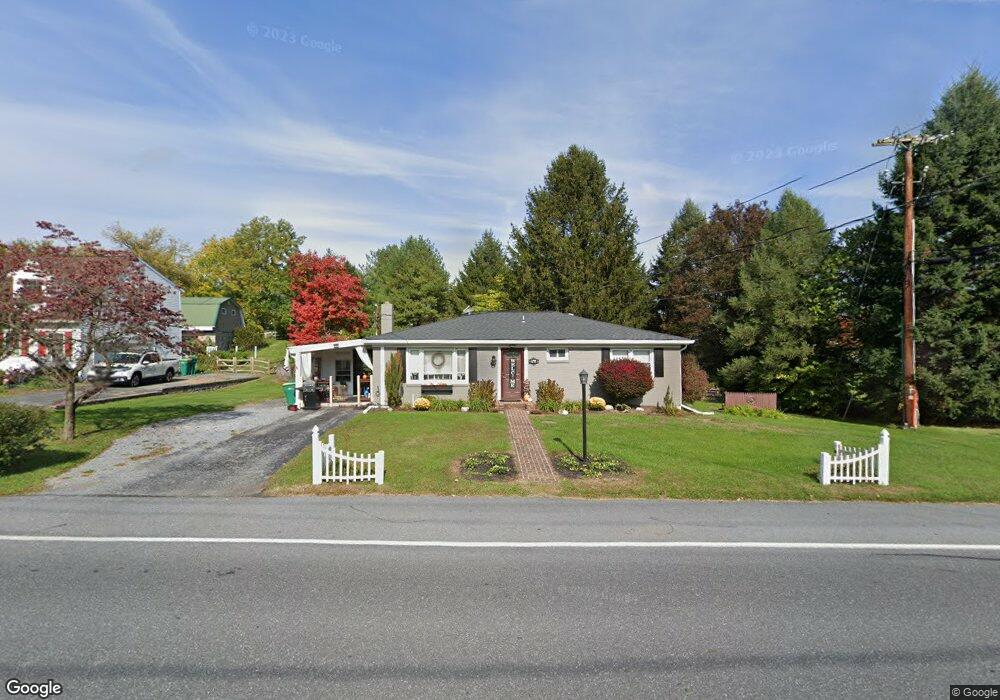
675 E Derry Rd Hershey, PA 17033
Estimated Value: $280,986 - $291,000
About This Home
This home is located at 675 E Derry Rd, Hershey, PA 17033 and is currently estimated at $285,747, approximately $240 per square foot. 675 E Derry Rd is a home located in Dauphin County with nearby schools including Hershey Elementary School, Hershey Primary Elementary School, and Hershey Middle School.
Ownership History
We collect this data history from publicly available records. To have your information removed, we recommend requesting removal directly through your county’s website.
Purchase Details
Home Financials for this Owner
Home Financials are based on the most recent Mortgage that was taken out on this home.Home Values in the Area
Average Home Value in this Area
Purchase History
We collect this data history from publicly available records. To have your information removed, we recommend requesting removal directly through your county’s website.
| Date | Buyer | Sale Price | Title Company |
|---|---|---|---|
| $134,000 | -- |
Mortgage History
We collect this data history from publicly available records. To have your information removed, we recommend requesting removal directly through your county’s website.
| Date | Status | Borrower | Loan Amount |
|---|---|---|---|
| Open | $134,000 |
Tax History
We collect this data history from publicly available records. To have your information removed, we recommend requesting removal directly through your county’s website.
| Year | Tax Paid | Tax Assessment Tax Assessment Total Assessment is a certain percentage of the fair market value that is determined by local assessors to be the total taxable value of land and additions on the property. | Land | Improvement |
|---|---|---|---|---|
| 2026 | $2,957 | $92,200 | $36,200 | $56,000 |
| 2025 | $2,882 | $92,200 | $36,200 | $56,000 |
| 2024 | $2,708 | $92,200 | $36,200 | $56,000 |
| 2023 | $2,660 | $92,200 | $36,200 | $56,000 |
| 2022 | $2,601 | $92,200 | $36,200 | $56,000 |
| 2021 | $2,601 | $92,200 | $36,200 | $56,000 |
| 2020 | $2,601 | $92,200 | $36,200 | $56,000 |
| 2019 | $2,554 | $92,200 | $36,200 | $56,000 |
| 2018 | $2,486 | $92,200 | $36,200 | $56,000 |
| 2017 | $2,486 | $92,200 | $36,200 | $56,000 |
| 2016 | $0 | $92,200 | $36,200 | $56,000 |
| 2015 | -- | $92,200 | $36,200 | $56,000 |
| 2014 | -- | $92,200 | $36,200 | $56,000 |
Map
- 737 Ferris Way
- 359 E Granada Ave
- 163 E Derry Rd
- 1231 E Caracas Ave
- 1425 Harding Ave
- 1080 Swatara Rd
- 5 Sunrise Dr
- 229 Cocoa Ave
- 117 W Areba Ave
- 612 Cocoa Ave
- 125 S Windsor Ave
- 314 W Caracas Ave
- 1849 Wexford Rd
- 1821 Wexford Rd
- 244 Cedar Ave
- 1808 Wexford Rd
- 43 Oak Ln
- 412 W Caracas Ave
- 201 S Hetrick Ave
- 1918 Wexford Rd
- 7 Carousel Cir
- 9 Carousel Cir
- 5 Carousel Cir
- 11 Carousel Cir
- 13 Carousel Cir
- 15 Carousel Cir
- 703 Ferris Way
- 17 Carousel Cir
- 19 Carousel Cir
- 707 Ferris Way
- 704 Ferris Way
- 711 Ferris Way
- 8 Carousel Cir
- 708 Ferris Way
- 715 Ferris Way
- 10 Carousel Cir
- 712 Ferris Way
- 12 Carousel Cir
- 719 Ferris Way
- 716 Ferris Way
Ask me questions while you tour the home.