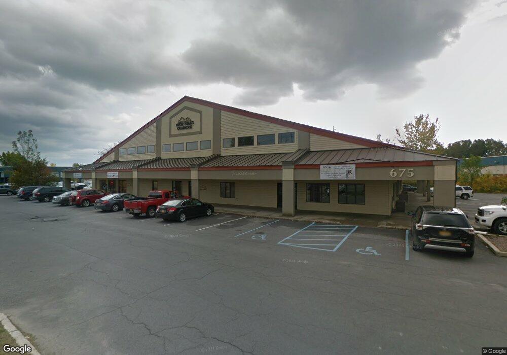
675 State Route 3 Plattsburgh, NY 12901
Estimated Value: $2,847,564
About This Home
This home is located at 675 State Route 3, Plattsburgh, NY 12901 and is currently estimated at $2,847,564, approximately $191 per square foot. 675 State Route 3 is a home located in Clinton County with nearby schools including Cumberland Head Elementary School, Beekmantown Middle School, and Beekmantown High School.
Ownership History
We collect this data history from publicly available records. To have your information removed, we recommend requesting removal directly through your county’s website.
Purchase Details
Home Financials for this Owner
Home Financials are based on the most recent Mortgage that was taken out on this home.Purchase Details
Home Values in the Area
Average Home Value in this Area
Purchase History
We collect this data history from publicly available records. To have your information removed, we recommend requesting removal directly through your county’s website.
| Date | Buyer | Sale Price | Title Company |
|---|---|---|---|
| $1,425,000 | John Clute | ||
| $800,000 | James Coffey |
Mortgage History
We collect this data history from publicly available records. To have your information removed, we recommend requesting removal directly through your county’s website.
| Date | Status | Borrower | Loan Amount |
|---|---|---|---|
| Closed | $110,000 | ||
| Closed | $26,040 | ||
| Closed | $1,454,000 |
Tax History
We collect this data history from publicly available records. To have your information removed, we recommend requesting removal directly through your county’s website.
| Year | Tax Paid | Tax Assessment Tax Assessment Total Assessment is a certain percentage of the fair market value that is determined by local assessors to be the total taxable value of land and additions on the property. | Land | Improvement |
|---|---|---|---|---|
| 2025 | $17,440 | $2,400,000 | $278,600 | $2,121,400 |
| 2024 | $50,744 | $2,400,000 | $278,600 | $2,121,400 |
| 2023 | $41,295 | $1,600,000 | $278,600 | $1,321,400 |
| 2022 | $41,216 | $1,600,000 | $278,600 | $1,321,400 |
| 2021 | $41,984 | $1,600,000 | $278,600 | $1,321,400 |
| 2020 | $43,015 | $1,500,000 | $346,600 | $1,153,400 |
| 2019 | $42,132 | $1,500,000 | $346,600 | $1,153,400 |
| 2018 | $42,132 | $1,500,000 | $346,600 | $1,153,400 |
| 2017 | $41,199 | $1,500,000 | $346,600 | $1,153,400 |
| 2016 | $40,515 | $1,500,000 | $346,600 | $1,153,400 |
| 2015 | -- | $1,500,000 | $297,200 | $1,202,800 |
| 2014 | -- | $1,500,000 | $297,200 | $1,202,800 |
Map
- 3 Chantecler Ct
- 24 Independence Dr
- 355 Tom Miller Rd
- 384 Tom Miller Rd
- 453 Tom Miller Rd
- 0 Plaza Blvd
- 23 Wood Manor Dr
- 5 Sheila Ave
- 0 Benny Blake Rd Unit 175079
- 9 Mallard Dr
- 184 Tom Miller Rd
- 9 Melody Ln
- 25 Pinebrook Dr
- 10 Melody Ln
- 28 Pinebrook Dr
- 984-988 State Route 3
- 2115 State Route 22b
- 132 Banker Rd
- 38 Melody Ln
- 3 Kennedy Ave
- 675 State Route 3
- 672 New York 3
- 672 State Route 3
- 01 Military Turnpike
- 27 Military Turnpike
- 1609 Military Turnpike
- 1611 Military Turnpike
- 88 Industrial Blvd
- 94 Industrial Blvd
- 2753 Military Turnpike
- 606 New York 3
- 606 State Route 3
- 748 State Route 3
- 599 New York 3
- 599 State Route 3
- 754 State Route 3
- 1652 Military Turnpike
- 1649 Military Turnpike
- 1486 Military Turnpike
- 1653 Military Turnpike
Ask me questions while you tour the home.