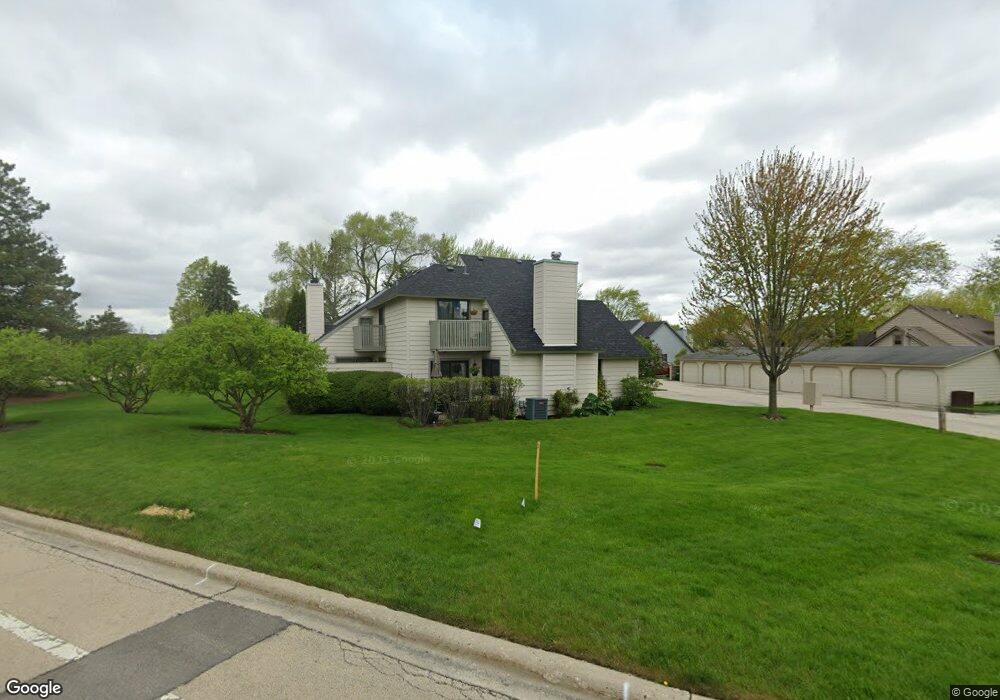
676 Beth Ct Unit U205 Gurnee, IL 60031
Estimated Value: $220,000 - $235,000
About This Home
This home is located at 676 Beth Ct Unit U205, Gurnee, IL 60031 and is currently estimated at $226,677, approximately $195 per square foot. 676 Beth Ct Unit U205 is a home located in Lake County with nearby schools including Woodland Primary School, Woodland Elementary School, and Woodland Intermediate School.
Ownership History
We collect this data history from publicly available records. To have your information removed, we recommend requesting removal directly through your county’s website.
Purchase Details
Purchase Details
Home Financials for this Owner
Home Financials are based on the most recent Mortgage that was taken out on this home.Purchase Details
Home Financials for this Owner
Home Financials are based on the most recent Mortgage that was taken out on this home.Purchase Details
Home Financials for this Owner
Home Financials are based on the most recent Mortgage that was taken out on this home.Home Values in the Area
Average Home Value in this Area
Purchase History
We collect this data history from publicly available records. To have your information removed, we recommend requesting removal directly through your county’s website.
| Date | Buyer | Sale Price | Title Company |
|---|---|---|---|
| -- | None Available | ||
| $155,500 | First American Title | ||
| $145,000 | -- | ||
| $118,000 | -- | ||
| $89,000 | -- |
Mortgage History
We collect this data history from publicly available records. To have your information removed, we recommend requesting removal directly through your county’s website.
| Date | Status | Borrower | Loan Amount |
|---|---|---|---|
| Open | $23,300 | ||
| Open | $124,400 | ||
| Previous Owner | $116,000 | ||
| Previous Owner | $98,000 | ||
| Closed | $29,000 |
Tax History
We collect this data history from publicly available records. To have your information removed, we recommend requesting removal directly through your county’s website.
| Year | Tax Paid | Tax Assessment Tax Assessment Total Assessment is a certain percentage of the fair market value that is determined by local assessors to be the total taxable value of land and additions on the property. | Land | Improvement |
|---|---|---|---|---|
| 2025 | -- | $65,210 | $9,366 | $55,844 |
| 2024 | -- | $56,983 | $8,185 | $48,798 |
| 2023 | -- | $52,904 | $7,599 | $45,305 |
| 2022 | $0 | $44,333 | $5,929 | $38,404 |
| 2021 | $0 | $40,146 | $5,369 | $34,777 |
| 2020 | $0 | $39,159 | $5,237 | $33,922 |
| 2019 | $0 | $38,022 | $5,085 | $32,937 |
| 2018 | $0 | $32,973 | $2,676 | $30,297 |
| 2017 | $0 | $32,028 | $2,599 | $29,429 |
| 2016 | $0 | $30,602 | $2,483 | $28,119 |
| 2015 | $0 | $29,023 | $2,355 | $26,668 |
| 2014 | $1,631 | $27,502 | $2,323 | $25,179 |
| 2012 | $3,075 | $27,713 | $2,341 | $25,372 |
Map
- 661 Mitchell Ct Unit U235
- 648 Mitchell Ct
- 736 Glen Way Unit U193
- 650 Whitney Ct Unit 105
- 707 Chelsey Ct Unit 36
- 845 Brian Ct Unit 6
- 930 Taylor Dr Unit 104
- 917 Vose Dr Unit 411
- 920 Vose Dr Unit 304
- 638 Sandwedge Place
- 913 Campbell Dr Unit U486
- 341 Hickory Haven Dr E
- 6131 Oakmont Ln
- 6275 Doral Dr
- 16820 W Serranda Dr Unit 17
- 703 Owl Creek Ln
- 324 S Fork Dr
- 228 Southridge Dr
- 17080 W Cunningham Ct Unit 2AL
- 129 Knobb Hill Ln
- 701 Colby Ct Unit U80
- 701 Colby Ct Unit 701
- 703 Colby Ct Unit U79
- 707 Colby Ct Unit U77
- 713 Colby Ct Unit U68
- 713 Colby Ct Unit 713
- 711 Colby Ct Unit 69
- 709 Colby Ct
- 715 Colby Ct Unit U67
- 702 Colby Ct
- 674 Beth Ct Unit U206
- 700 Colby Ct Unit U76
- 717 Colby Ct Unit U66
- 704 Colby Ct Unit U74
- 672 Beth Ct Unit U207
- 719 Colby Ct
- 719 Colby Ct Unit 65
- 706 Colby Ct Unit U73
- 670 Beth Ct Unit U208
- 708 Colby Ct Unit U72
Ask me questions while you tour the home.