677 Spinnaker Trace Lafayette, IN 47909
Estimated Value: $429,000 - $584,000
2
Beds
3
Baths
2,066
Sq Ft
$247/Sq Ft
Est. Value
About This Home
This home is located at 677 Spinnaker Trace, Lafayette, IN 47909 and is currently estimated at $509,799, approximately $246 per square foot. 677 Spinnaker Trace is a home with nearby schools including Mintonye Elementary School, Southwestern Middle School, and McCutcheon High School.
Ownership History
Date
Name
Owned For
Owner Type
Purchase Details
Closed on
Nov 21, 2013
Sold by
Milakis Homes Llc
Bought by
Donald F Allen Trust and Susan K Allen Trust
Current Estimated Value
Home Financials for this Owner
Home Financials are based on the most recent Mortgage that was taken out on this home.
Original Mortgage
$289,000
Outstanding Balance
$214,750
Interest Rate
4.14%
Mortgage Type
VA
Estimated Equity
$295,049
Purchase Details
Closed on
May 23, 2013
Sold by
Heron Bay Development Llc
Bought by
Milakis Homes Llc
Create a Home Valuation Report for This Property
The Home Valuation Report is an in-depth analysis detailing your home's value as well as a comparison with similar homes in the area
Purchase History
| Date | Buyer | Sale Price | Title Company |
|---|---|---|---|
| Donald F Allen Trust | -- | -- | |
| Milakis Homes Llc | -- | -- |
Source: Public Records
Mortgage History
| Date | Status | Borrower | Loan Amount |
|---|---|---|---|
| Open | Donald F Allen Trust | $289,000 |
Source: Public Records
Tax History
| Year | Tax Paid | Tax Assessment Tax Assessment Total Assessment is a certain percentage of the fair market value that is determined by local assessors to be the total taxable value of land and additions on the property. | Land | Improvement |
|---|---|---|---|---|
| 2024 | $2,946 | $448,100 | $38,000 | $410,100 |
| 2023 | $2,673 | $421,100 | $38,000 | $383,100 |
| 2022 | $2,381 | $374,600 | $38,000 | $336,600 |
| 2021 | $2,188 | $351,000 | $38,000 | $313,000 |
| 2020 | $1,744 | $336,900 | $38,000 | $298,900 |
| 2019 | $1,572 | $325,800 | $38,000 | $287,800 |
| 2018 | $1,701 | $314,400 | $38,000 | $276,400 |
| 2017 | $1,684 | $309,500 | $38,000 | $271,500 |
| 2016 | $1,612 | $302,800 | $38,000 | $264,800 |
| 2014 | $1,458 | $285,200 | $38,000 | $247,200 |
| 2013 | -- | $200 | $200 | $0 |
Source: Public Records
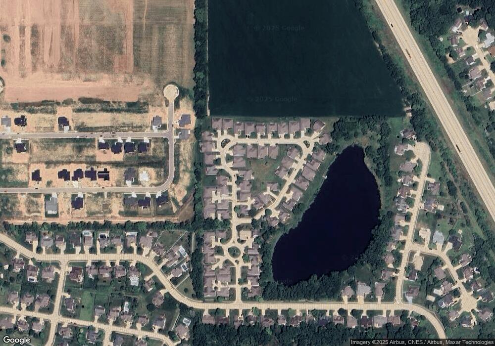
Map
Nearby Homes
- 793 Ravenstone Dr
- 852 Drydock Dr
- 857 Ravenstone Dr
- 880 Drydock Dr
- 889 Ravenstone Dr
- 730 Hummingbird Ct
- 4689 Whippoorwill Dr
- 309 Yarmouth Ct
- 4749 Cardinal Dr
- 4350 Admirals Cove Dr
- 4336 Admirals Cove Dr
- 4254-4268 Admirals Cove Dr
- 406 Prion Ct
- 4329 Admirals Pointe Dr
- 4901 Chickadee Dr
- 864 Commodores Cir
- 0 W 500 S
- 105 Doncaster Dr
- 809 Ravenstone Dr
- 104 Creekview Dr
- 681 Spinnaker Trace
- 673 Spinnaker Trace
- 4475 Spinnaker Trace
- 645 Spinnaker Trace
- 676 Spinnaker Trace
- 649 Spinnaker Trace
- 4484 Spinnaker Trace
- 641 Spinnaker Trace
- 4544 Spinnaker Trace
- 4473 Spinnaker Trace
- 4546 Spinnaker Trace
- 672 Spinnaker Trace
- 4471 Spinnaker Trace
- 637 Spinnaker Trace
- 601 Spinnaker Trace
- 4478 Spinnaker Trace
- 668 Spinnaker Trace
- 4482 Spinnaker Trace
- 4476 Spinnaker Trace
- 644 Spinnaker Trace
Your Personal Tour Guide
Ask me questions while you tour the home.