6770 Harmony Grove Rd Dover, PA 17315
Warrington NeighborhoodEstimated Value: $1,176,110
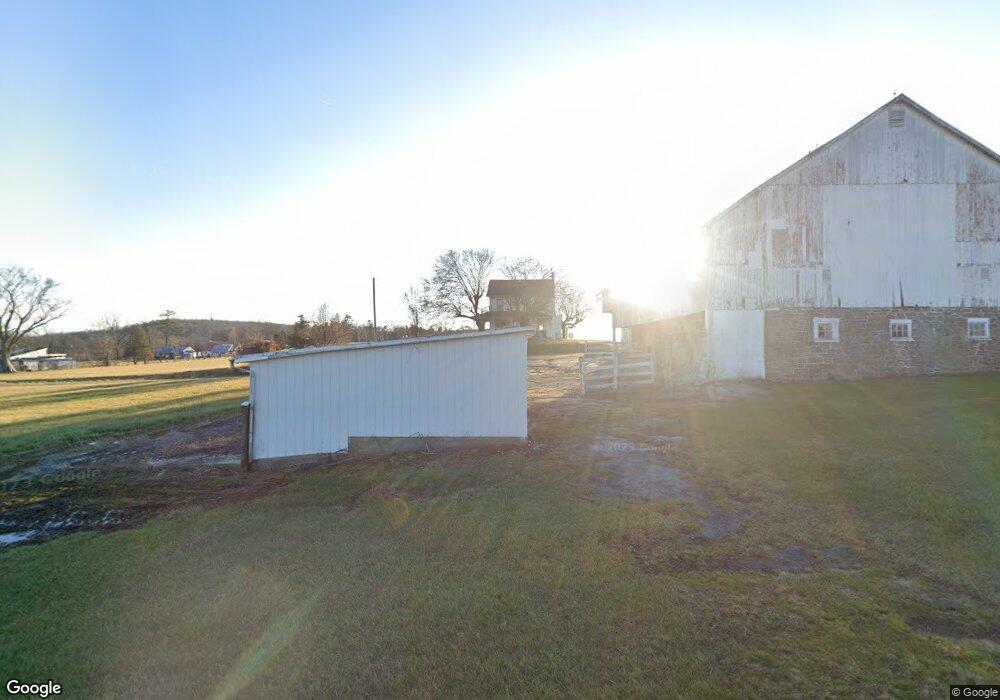
About This Home
This home is located at 6770 Harmony Grove Rd, Dover, PA 17315 and is currently estimated at $1,176,110, approximately $715 per square foot. 6770 Harmony Grove Rd is a home located in York County with nearby schools including Northern Middle School and Northern High School.
Ownership History
We collect this data history from publicly available records. To have your information removed, we recommend requesting removal directly through your county’s website.
Purchase Details
Home Financials for this Owner
Home Financials are based on the most recent Mortgage that was taken out on this home.Purchase Details
Home Values in the Area
Average Home Value in this Area
Purchase History
We collect this data history from publicly available records. To have your information removed, we recommend requesting removal directly through your county’s website.
| Date | Buyer | Sale Price | Title Company |
|---|---|---|---|
| $650,000 | None Available | ||
| -- | -- |
Mortgage History
We collect this data history from publicly available records. To have your information removed, we recommend requesting removal directly through your county’s website.
| Date | Status | Borrower | Loan Amount |
|---|---|---|---|
| Open | $487,500 |
Tax History
We collect this data history from publicly available records. To have your information removed, we recommend requesting removal directly through your county’s website.
| Year | Tax Paid | Tax Assessment Tax Assessment Total Assessment is a certain percentage of the fair market value that is determined by local assessors to be the total taxable value of land and additions on the property. | Land | Improvement |
|---|---|---|---|---|
| 2026 | $4,329 | $154,070 | $50,640 | $103,430 |
| 2025 | $4,197 | $154,070 | $50,640 | $103,430 |
| 2024 | $4,152 | $154,070 | $50,640 | $103,430 |
| 2023 | $4,068 | $154,070 | $50,640 | $103,430 |
| 2022 | $3,982 | $154,070 | $50,640 | $103,430 |
| 2021 | $3,722 | $154,070 | $50,640 | $103,430 |
| 2020 | $3,633 | $154,070 | $50,640 | $103,430 |
| 2019 | $3,542 | $154,070 | $50,640 | $103,430 |
| 2018 | $3,466 | $154,070 | $50,640 | $103,430 |
| 2017 | $3,466 | $154,070 | $50,640 | $103,430 |
| 2016 | $0 | $154,070 | $50,640 | $103,430 |
| 2015 | -- | $149,460 | $46,030 | $103,430 |
| 2014 | -- | $145,260 | $41,830 | $103,430 |
Map
- 270 S Winding Rd
- 5600 Fish And Game Rd
- 120 N Winding Rd
- 670 Zeigler Rd
- 5971 Davidsburg Rd
- 151 Warrington St
- 6200 Old Carlisle Rd
- 4275 W Canal Rd
- 5390 Nursery Rd
- 183 Roland Rd
- 600 (AND 580) Ridge Rd
- 61 Mayfield St
- 3 Country View Ct
- 32 N Main St
- 15 N Queen St
- 3840 Craig Ave
- 2632 Tamela Ave
- 4715 Hikey St
- 2685 Tamela Ave
- 100 Cedar Dr
- 1655 Detters Mill Rd
- 1595 Detters Mill Rd
- 1625 Detters Mill Rd
- 1565 Detters Mill Rd
- Lot # 7 Detters Mill Rd
- 1675 Detters Mill Rd
- 1555 Detters Mill Rd
- 1685 Detters Mill Rd
- 1695 Detters Mill Rd Unit 180
- 1695 Detters Mill Rd
- 1545 Detters Mill Rd
- 1550 Detters Mill Rd
- 1797 Detters Mill Rd
- 6940 Detters Mill Rd
- 6940 Detters Mill Rd Unit 2
- 1585 Detters Mill Rd
- 40 Red Rock Ave
- 6905 Harmony Grove Rd
- 6921 Detters Mill Rd
- 55 Red Rock Ave
Ask me questions while you tour the home.