6775 W Point Rd Lagrange, GA 30240
Estimated Value: $368,000 - $483,000
3
Beds
3
Baths
2,338
Sq Ft
$188/Sq Ft
Est. Value
About This Home
This home is located at 6775 W Point Rd, Lagrange, GA 30240 and is currently estimated at $440,009, approximately $188 per square foot. 6775 W Point Rd is a home located in Troup County with nearby schools including Long Cane Elementary School, West Point Elementary School, and Berta Weathersbee Elementary School.
Ownership History
Date
Name
Owned For
Owner Type
Purchase Details
Closed on
Apr 3, 2020
Sold by
Knox William Gary
Bought by
Webb Megan Joyner and Webb Evan Alan
Current Estimated Value
Home Financials for this Owner
Home Financials are based on the most recent Mortgage that was taken out on this home.
Original Mortgage
$240,000
Outstanding Balance
$210,376
Interest Rate
3.2%
Mortgage Type
New Conventional
Estimated Equity
$229,633
Purchase Details
Closed on
Mar 13, 2002
Sold by
J T Jones Co
Bought by
Knox William Gary and Knox Patti S
Purchase Details
Closed on
Sep 4, 2001
Sold by
Amy K Nixon
Bought by
J T Jones Co
Purchase Details
Closed on
Apr 4, 2000
Sold by
Frank L Ayers
Bought by
Amy K Nixon
Create a Home Valuation Report for This Property
The Home Valuation Report is an in-depth analysis detailing your home's value as well as a comparison with similar homes in the area
Purchase History
| Date | Buyer | Sale Price | Title Company |
|---|---|---|---|
| Webb Megan Joyner | $320,000 | -- | |
| Knox William Gary | $55,000 | -- | |
| J T Jones Co | $44,000 | -- | |
| Amy K Nixon | $41,600 | -- |
Source: Public Records
Mortgage History
| Date | Status | Borrower | Loan Amount |
|---|---|---|---|
| Open | Webb Megan Joyner | $240,000 |
Source: Public Records
Tax History
| Year | Tax Paid | Tax Assessment Tax Assessment Total Assessment is a certain percentage of the fair market value that is determined by local assessors to be the total taxable value of land and additions on the property. | Land | Improvement |
|---|---|---|---|---|
| 2025 | $3,721 | $161,680 | $23,080 | $138,600 |
| 2024 | $3,399 | $143,520 | $23,080 | $120,440 |
| 2023 | $3,350 | $141,800 | $23,080 | $118,720 |
| 2022 | $3,190 | $135,280 | $21,960 | $113,320 |
| 2021 | $3,173 | $126,280 | $21,960 | $104,320 |
| 2020 | $3,177 | $126,280 | $21,984 | $104,296 |
| 2019 | $3,457 | $116,600 | $22,200 | $94,400 |
| 2018 | $2,789 | $94,480 | $12,680 | $81,800 |
| 2017 | $2,790 | $94,480 | $12,680 | $81,800 |
| 2016 | $2,725 | $92,343 | $12,712 | $79,631 |
| 2015 | $2,730 | $92,343 | $12,712 | $79,631 |
| 2014 | $2,608 | $88,152 | $12,712 | $75,440 |
| 2013 | -- | $92,791 | $12,712 | $80,079 |
Source: Public Records
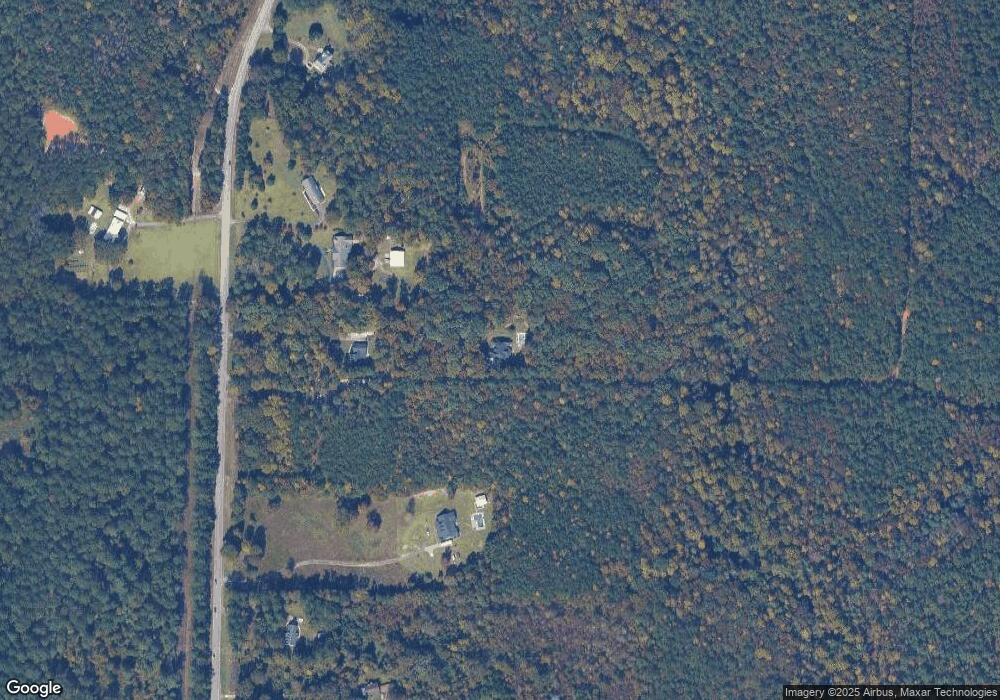
Map
Nearby Homes
- 90 Hickory Ln
- 0 Sandtown Rd Unit 10255987
- Sandtown Road Unit: 1 2+ - Acre
- 5714 W Point Rd
- 0 Samples Rd Unit 10705121
- 0 Ga Highway 0116 Unit 10619139
- 1903 Ridgewood Dr
- 508 Pine St
- 0 Warner Rd Unit 10686116
- 1111 County Road 212
- 648 Warner Rd
- 1800 Malco Dr
- 3103 County Road 212
- 1114 Clara Dr E
- 1111 Clara Dr E
- 182 Lower Lovelace Rd
- 4517 Georgia 18
- 4509 Georgia 18
- 4523 Georgia 18
- 4527 Georgia 18
- 6775 West Point Rd
- 6815 West Point Rd
- 6735 West Point Rd
- W W Point Rd
- 6771 West Point Rd
- 6771 W Point Rd
- 6885 West Point Rd
- 6719 West Point Rd
- O W Point Rd
- 6915 West Point Rd
- 000 W Point Road-10 45 Acres
- 6679 W Point Rd
- 6679 West Point Rd
- 6889 West Point Rd
- 6631 West Point Rd
- 6631 W Point Rd
- 6702 West Point Rd
- 6744 W Point Rd
- 6744 West Point Rd
- 6744 W Point Rd
Your Personal Tour Guide
Ask me questions while you tour the home.