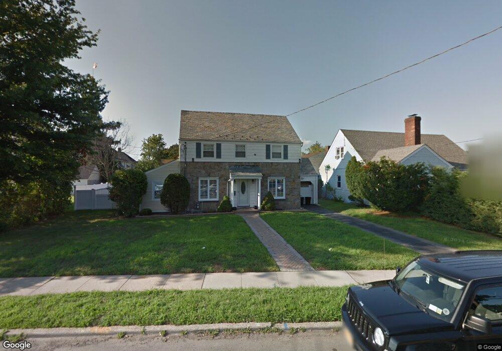
679 Front St Hempstead, NY 11550
Estimated Value: $559,276 - $685,000
Studio
2
Baths
1,446
Sq Ft
$430/Sq Ft
Est. Value
About This Home
This home is located at 679 Front St, Hempstead, NY 11550 and is currently estimated at $622,138, approximately $430 per square foot. 679 Front St is a home located in Nassau County with nearby schools including California Avenue Elementary School, Turtle Hook Middle School, and Uniondale High School.
Ownership History
Date
Name
Owned For
Owner Type
Purchase Details
Closed on
Jun 1, 2010
Sold by
Harvey Sonya L and Coriolan Gardy
Bought by
Harvey Sonya L
Current Estimated Value
Purchase Details
Closed on
Dec 20, 2006
Sold by
Harvey Sonya
Purchase Details
Closed on
Sep 13, 1995
Sold by
George Uzziel and Powers Lenor
Bought by
Harvey Sonya
Home Financials for this Owner
Home Financials are based on the most recent Mortgage that was taken out on this home.
Original Mortgage
$145,501
Interest Rate
7.89%
Create a Home Valuation Report for This Property
The Home Valuation Report is an in-depth analysis detailing your home's value as well as a comparison with similar homes in the area
Home Values in the Area
Average Home Value in this Area
Purchase History
| Date | Buyer | Sale Price | Title Company |
|---|---|---|---|
| Harvey Sonya L | -- | -- | |
| -- | -- | -- | |
| Harvey Sonya | $147,300 | -- |
Source: Public Records
Mortgage History
| Date | Status | Borrower | Loan Amount |
|---|---|---|---|
| Previous Owner | Harvey Sonya | $145,501 |
Source: Public Records
Tax History
| Year | Tax Paid | Tax Assessment Tax Assessment Total Assessment is a certain percentage of the fair market value that is determined by local assessors to be the total taxable value of land and additions on the property. | Land | Improvement |
|---|---|---|---|---|
| 2025 | $6,753 | $388 | $172 | $216 |
| 2024 | $1,001 | $388 | $172 | $216 |
Source: Public Records
Map
Nearby Homes
- 27 Elizabeth Ct
- 59 Kernochan Ave
- 676 Front St Unit F
- 678 Front St Unit E
- 16 Hendrickson Ave
- 104 Phoenix St
- 22 Fairview Blvd
- 74 Holly Ave
- 59 Broadfield Rd
- 49 Fairview Blvd
- 51 Phoenix St
- 17 Hope St
- 64 Fairview Blvd
- 43 Macdonald St
- 811 Front St
- 122 Hamilton Rd
- 25 Crowell St
- 95 Rhodes Ave
- 195 Cedar St
- 126 Fairview Blvd
- 687 Front St
- 671 Front St
- 99 Cameron Ave
- 14 Elizabeth Ct
- 18 Elizabeth Ct
- 89 Cameron Ave
- 22 Elizabeth Ct
- 695 Front St Unit 1
- 695 Front St
- 100 Cameron Ave
- 100 Cameron Ave
- 81 Cameron Ave
- 108 Cameron Ave Unit 1
- 3 Elizabeth Ct
- 670 Front St
- 96 Cameron Ave
- 7 Elizabeth Ct
- 90 Cameron Ave
- 30 Elizabeth Ct
- 77 Cameron Ave
Your Personal Tour Guide
Ask me questions while you tour the home.