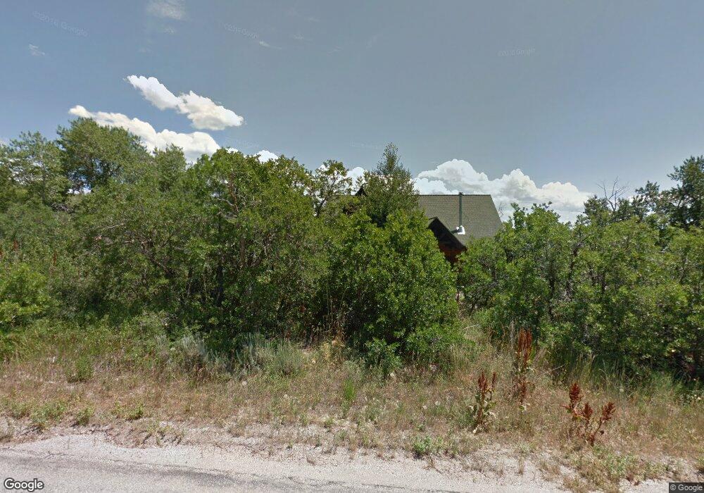
6798 N 1900 E Liberty, UT 84310
Estimated Value: $879,849 - $1,319,000
3
Beds
3
Baths
1,925
Sq Ft
$541/Sq Ft
Est. Value
About This Home
This home is located at 6798 N 1900 E, Liberty, UT 84310 and is currently estimated at $1,041,712, approximately $541 per square foot. 6798 N 1900 E is a home located in Weber County with nearby schools including Valley Elementary School, Snowcrest Junior High School, and Weber High School.
Ownership History
Date
Name
Owned For
Owner Type
Purchase Details
Closed on
Jul 2, 2020
Sold by
Nelson William David and Nelson Belinda G
Bought by
Nelson William David and Nelson Belinda G
Current Estimated Value
Home Financials for this Owner
Home Financials are based on the most recent Mortgage that was taken out on this home.
Original Mortgage
$255,500
Outstanding Balance
$178,474
Interest Rate
2.6%
Mortgage Type
New Conventional
Estimated Equity
$863,238
Purchase Details
Closed on
Dec 10, 2019
Sold by
Nelson William D and Nelson Belinda G
Bought by
Nelson William David and Nelson Belinda G
Purchase Details
Closed on
Mar 28, 2019
Sold by
Nelson William D and Nelson Belinda G
Bought by
Nelson William D and Nelson Belinda G
Home Financials for this Owner
Home Financials are based on the most recent Mortgage that was taken out on this home.
Original Mortgage
$263,500
Interest Rate
3.8%
Mortgage Type
New Conventional
Purchase Details
Closed on
Jun 29, 2018
Sold by
Petrillo Andrew
Bought by
Nelson William D and Lara Belinda G
Home Financials for this Owner
Home Financials are based on the most recent Mortgage that was taken out on this home.
Original Mortgage
$442,425
Outstanding Balance
$384,275
Interest Rate
4.6%
Mortgage Type
New Conventional
Estimated Equity
$657,437
Purchase Details
Closed on
May 25, 2006
Sold by
Perry Randall E and Rachel H Perry S
Bought by
Petrillo Andrew
Purchase Details
Closed on
Feb 26, 2004
Sold by
Perry Randall and Perry Stephanie R
Bought by
Perry Randall E and Rachel H Perry S
Home Financials for this Owner
Home Financials are based on the most recent Mortgage that was taken out on this home.
Original Mortgage
$208,000
Interest Rate
5.61%
Mortgage Type
Stand Alone Refi Refinance Of Original Loan
Purchase Details
Closed on
Mar 8, 2001
Sold by
Scott Geoffrey D
Bought by
Perry Randall and Perry Stephanie R
Home Financials for this Owner
Home Financials are based on the most recent Mortgage that was taken out on this home.
Original Mortgage
$50,250
Interest Rate
6.68%
Mortgage Type
Purchase Money Mortgage
Purchase Details
Closed on
Mar 24, 1997
Sold by
Fielding Carol
Bought by
Scott Geoffrey D
Purchase Details
Closed on
Apr 23, 1996
Sold by
Scott Geoffrey D
Bought by
Fielding Carol
Create a Home Valuation Report for This Property
The Home Valuation Report is an in-depth analysis detailing your home's value as well as a comparison with similar homes in the area
Purchase History
| Date | Buyer | Sale Price | Title Company |
|---|---|---|---|
| Nelson William David | -- | Capstone Title & Escrow Inc | |
| Nelson William David | -- | Capstone Title & Escrow | |
| Nelson William David | -- | None Available | |
| Nelson William D | -- | None Available | |
| Nelson William D | -- | Metro National Title | |
| Petrillo Andrew | -- | Mountain View Title Ogden | |
| Perry Randall E | -- | Cpr Title | |
| Perry Randall | -- | First American Title Ins Age | |
| Scott Geoffrey D | -- | U S Title | |
| Fielding Carol | -- | -- |
Source: Public Records
Mortgage History
| Date | Status | Borrower | Loan Amount |
|---|---|---|---|
| Open | Nelson William David | $255,500 | |
| Closed | Nelson William D | $263,500 | |
| Open | Nelson William D | $442,425 | |
| Previous Owner | Perry Randall E | $208,000 | |
| Previous Owner | Perry Randall | $50,250 | |
| Closed | Perry Randall E | $19,900 |
Source: Public Records
Tax History
| Year | Tax Paid | Tax Assessment Tax Assessment Total Assessment is a certain percentage of the fair market value that is determined by local assessors to be the total taxable value of land and additions on the property. | Land | Improvement |
|---|---|---|---|---|
| 2025 | $4,222 | $435,269 | $126,625 | $308,644 |
| 2024 | $3,898 | $409,749 | $126,590 | $283,159 |
| 2023 | $3,979 | $413,002 | $121,021 | $291,981 |
| 2022 | $3,442 | $363,563 | $110,001 | $253,562 |
| 2021 | $3,078 | $548,000 | $130,018 | $417,982 |
| 2020 | $3,131 | $512,000 | $130,018 | $381,982 |
| 2019 | $3,203 | $501,519 | $130,018 | $371,501 |
| 2018 | $3,105 | $466,269 | $125,016 | $341,253 |
| 2017 | $5,061 | $408,630 | $115,000 | $293,630 |
| 2016 | $4,977 | $396,583 | $110,000 | $286,583 |
| 2015 | $4,395 | $346,264 | $110,000 | $236,264 |
| 2014 | $4,681 | $360,235 | $110,000 | $250,235 |
Source: Public Records
Map
Nearby Homes
- 2252 E Lauren Ln
- 6481 N Fork Rd Unit N
- 2127 E 5950 N
- 3178 E 5400 N
- 3138 E 5300 N
- 3257 E 5300 N
- 5073 N 3300 E
- 4691 N 3300 E
- 4691 E 3300
- 4601 N 2900 E
- 3462 E 4100 N
- 4068 N 3300 E
- 3440 E 4100 N
- 4336 N 3800 E
- 6746 E Aspen Dr Unit 38
- 4271 N Powder Mountain Rd E
- 2808 E Arrowleaf Unit 2
- 1382 N 6300 E Unit 3
- 1595 N Hardy Trail Rd Unit 2
- 4937 E Fairways Dr N
- 2001 E 6825 N Unit 29
- 2001 E 6825 N
- 6768 Durfee Creek Rd
- 6783 Durfee Creek Rd
- 1974 E 6825 N
- 1929 E 6825 N
- 2050 E 6825 N
- 2050 E 6825 N Unit 48
- 2047 E 6825 N Unit 34
- 2047 E 6825 N
- 6740 Durfee Creek Rd
- 6749 N Durfee Creek Rd E Unit 1
- 6850 Durfee Creek Rd
- 1948 E 6825 N
- 1943 E 6825 N
- 6749 Durfee Creek Rd
- 2006 E 6825 N
- 6855 Durfee Creek Rd
- 2084 E 6825 N
- 2084 E 6825 N Unit 47
Your Personal Tour Guide
Ask me questions while you tour the home.