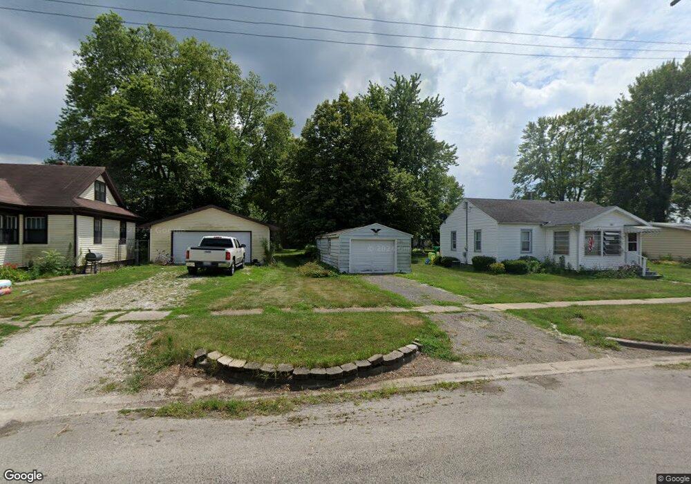
680 W Center St Sheldon, IL 60966
Estimated Value: $54,930 - $136,000
Studio
--
Bath
--
Sq Ft
13,504
Sq Ft Lot
About This Home
This home is located at 680 W Center St, Sheldon, IL 60966 and is currently estimated at $79,983. 680 W Center St is a home with nearby schools including Milford Grade School West Campus and Milford High School Campus.
Ownership History
Date
Name
Owned For
Owner Type
Purchase Details
Closed on
Jul 13, 2023
Sold by
Platteter Patricia M
Bought by
Barney Ashley M
Current Estimated Value
Home Financials for this Owner
Home Financials are based on the most recent Mortgage that was taken out on this home.
Original Mortgage
$37,600
Outstanding Balance
$27,792
Interest Rate
6.2%
Mortgage Type
New Conventional
Estimated Equity
$52,191
Purchase Details
Closed on
May 7, 2021
Sold by
Kusman Ruthann L and Iroquois Farmers State Bank
Bought by
Paltteter Patricia M
Purchase Details
Closed on
Apr 27, 2021
Sold by
Kusman Ruthann L and Iroquois Farmers State Bank
Bought by
Platteter Patricia H
Create a Home Valuation Report for This Property
The Home Valuation Report is an in-depth analysis detailing your home's value as well as a comparison with similar homes in the area
Purchase History
| Date | Buyer | Sale Price | Title Company |
|---|---|---|---|
| Barney Ashley M | $47,000 | None Listed On Document | |
| Paltteter Patricia M | $25,000 | Attorney | |
| Platteter Patricia H | $251,000 | None Available |
Source: Public Records
Mortgage History
| Date | Status | Borrower | Loan Amount |
|---|---|---|---|
| Open | Barney Ashley M | $37,600 |
Source: Public Records
Tax History
| Year | Tax Paid | Tax Assessment Tax Assessment Total Assessment is a certain percentage of the fair market value that is determined by local assessors to be the total taxable value of land and additions on the property. | Land | Improvement |
|---|---|---|---|---|
| 2024 | $2,030 | $21,260 | $2,740 | $18,520 |
| 2023 | $2,030 | $19,410 | $2,500 | $16,910 |
| 2022 | $1,888 | $18,310 | $2,360 | $15,950 |
| 2021 | $484 | $15,650 | $2,020 | $13,630 |
| 2020 | $396 | $14,580 | $1,880 | $12,700 |
| 2019 | $65 | $14,100 | $1,820 | $12,280 |
| 2018 | $66 | $13,730 | $1,770 | $11,960 |
| 2017 | $687 | $13,490 | $1,740 | $11,750 |
| 2016 | $691 | $13,490 | $1,740 | $11,750 |
| 2015 | $18 | $13,320 | $1,720 | $11,600 |
| 2014 | $18 | $13,080 | $1,690 | $11,390 |
| 2013 | $171 | $13,650 | $1,760 | $11,890 |
Source: Public Records
Map
Nearby Homes
- 104 W Cottage St
- 315 W Main St
- 215 W Main St
- 650 W Blue St
- 395 N 4th St
- 455 E Main St
- 105 Spring Ct
- 2701 E County Township Road 121
- 2894 E Township Road 407
- 1897 N 2500 Rd E
- U S 24
- 3569 W 1500 S
- 315 W Railroad St
- 2000 N Rd
- Vacant Land W Allen St
- 204 S 1st St
- 1882 N 2270 East Rd
- 103 W Lincoln St
- 105 E Allen St
- 106 E Allen St
- 690 W Center St
- 650 W Center St
- 630 W Center St
- 710 W Center St
- 610 W Center St
- 711 W Center St
- 590 W Center St
- 580 W Center St
- 583 W Center St
- 750 W Center St
- 565 W Center St
- 570 W Center St
- 545 W Center St
- 760 W Center St
- 550 W Center St
- 560 W Grove St
- 580 W Grove St
- 615 W Grove St
- 645 W Grove St
- 623 W Grove St
Your Personal Tour Guide
Ask me questions while you tour the home.