6802 1st St Coloma, MI 49038
Estimated Value: $266,000 - $340,000
About This Home
This home is located at 6802 1st St, Coloma, MI 49038 and is currently estimated at $306,633, approximately $187 per square foot. 6802 1st St is a home located in Berrien County with nearby schools including Coloma Elementary School, Coloma Intermediate School, and Coloma Junior High School.
Ownership History
We collect this data history from publicly available records. To have your information removed, we recommend requesting removal directly through your county’s website.
Purchase Details
Purchase Details
Purchase Details
Home Values in the Area
Average Home Value in this Area
Purchase History
We collect this data history from publicly available records. To have your information removed, we recommend requesting removal directly through your county’s website.
| Date | Buyer | Sale Price | Title Company |
|---|---|---|---|
| -- | None Listed On Document | ||
| -- | None Listed On Document | ||
| $72,200 | -- |
Tax History
We collect this data history from publicly available records. To have your information removed, we recommend requesting removal directly through your county’s website.
| Year | Tax Paid | Tax Assessment Tax Assessment Total Assessment is a certain percentage of the fair market value that is determined by local assessors to be the total taxable value of land and additions on the property. | Land | Improvement |
|---|---|---|---|---|
| 2025 | $2,410 | $155,400 | $0 | $0 |
| 2024 | $867 | $132,100 | $0 | $0 |
| 2023 | $826 | $112,100 | $0 | $0 |
| 2022 | $787 | $96,500 | $0 | $0 |
| 2021 | $2,199 | $91,200 | $15,300 | $75,900 |
| 2020 | $2,217 | $83,000 | $0 | $0 |
| 2019 | $2,268 | $70,000 | $15,300 | $54,700 |
| 2018 | $2,186 | $70,000 | $0 | $0 |
| 2017 | $1,953 | $70,000 | $0 | $0 |
| 2016 | $1,914 | $70,000 | $0 | $0 |
| 2015 | $1,951 | $66,800 | $0 | $0 |
| 2014 | $686 | $66,800 | $0 | $0 |
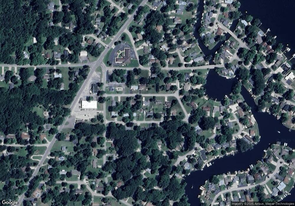
Map
- 6876 Shore Dr
- 4759 Shore Dr
- 5005 Shoreview Dr
- 7030 N Maple Dr
- 5036 Shoreview Dr
- 5021 Weatherford Dr
- 5074 Woodward
- 5081 Woodward
- 6754 Paw Ave
- 7039 Curtis Dr
- 5251 Paw Lake Rd Unit 16
- 4874 Knoll Ct
- 5363 Paw Lake Rd
- 4862 Knoll Ct
- 6783 Red Arrow Hwy
- 189 Banks St
- 5564 Newton Ave
- 7038 Little Paw Lake Rd
- 4537 Stanley Ave
- 0 Huntoon Ave
Ask me questions while you tour the home.