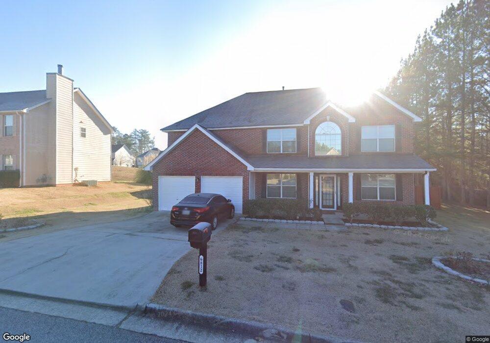
6812 Foxfire Place Atlanta, GA 30349
Estimated Value: $294,000 - $335,000
3
Beds
2
Baths
2,284
Sq Ft
$136/Sq Ft
Est. Value
About This Home
This home is located at 6812 Foxfire Place, Atlanta, GA 30349 and is currently estimated at $311,401, approximately $136 per square foot. 6812 Foxfire Place is a home located in Fulton County with nearby schools including Wolf Creek Elementary, Renaissance Middle School, and Langston Hughes High School.
Ownership History
Date
Name
Owned For
Owner Type
Purchase Details
Closed on
Jul 21, 2004
Sold by
Legacy Communities Cooks Landing
Bought by
Best Michele D
Current Estimated Value
Home Financials for this Owner
Home Financials are based on the most recent Mortgage that was taken out on this home.
Original Mortgage
$169,250
Outstanding Balance
$84,665
Interest Rate
6.24%
Mortgage Type
VA
Estimated Equity
$226,736
Create a Home Valuation Report for This Property
The Home Valuation Report is an in-depth analysis detailing your home's value as well as a comparison with similar homes in the area
Home Values in the Area
Average Home Value in this Area
Purchase History
| Date | Buyer | Sale Price | Title Company |
|---|---|---|---|
| Best Michele D | $71,000 | -- |
Source: Public Records
Mortgage History
| Date | Status | Borrower | Loan Amount |
|---|---|---|---|
| Open | Best Michele D | $169,250 |
Source: Public Records
Tax History
| Year | Tax Paid | Tax Assessment Tax Assessment Total Assessment is a certain percentage of the fair market value that is determined by local assessors to be the total taxable value of land and additions on the property. | Land | Improvement |
|---|---|---|---|---|
| 2025 | $1,392 | $126,040 | $26,400 | $99,640 |
| 2023 | $3,457 | $122,480 | $27,560 | $94,920 |
| 2022 | $1,416 | $96,800 | $19,680 | $77,120 |
| 2021 | $1,352 | $78,920 | $19,840 | $59,080 |
| 2020 | $1,255 | $67,640 | $13,520 | $54,120 |
| 2019 | $1,564 | $69,200 | $16,000 | $53,200 |
| 2018 | $1,601 | $57,520 | $8,920 | $48,600 |
| 2017 | $936 | $40,040 | $10,880 | $29,160 |
| 2016 | $934 | $40,040 | $10,880 | $29,160 |
| 2015 | $937 | $40,040 | $10,880 | $29,160 |
| 2014 | $962 | $40,040 | $10,880 | $29,160 |
Source: Public Records
Map
Nearby Homes
- 6869 Fireside Ln
- 4180 W Stubbs Rd
- 6640 E Stubbs Rd
- 6639 Overlook Ridge
- 4400 Merrigold Way
- 4060 W Stubbs Rd
- 4475 Merrigold Way
- 930 Sly Fox Run
- 4620 Demooney Rd
- 811 Lorrimont Ln
- 0 Jones Rd Unit 7548174
- 0 Jones Rd Unit 10486732
- 457 Mossycup Dr
- 6600 Jones Rd
- 825 Athena Bend
- 7730 Demeter Dr
- 7409 Jennadee Dr
- 371 Berkshire Place
- 6497 Snowden Dr
- 4185 Post Oak Grove
- 4231 Fortune Point
- 6804 Foxfire Place
- 4227 Fortune Point
- 6815 Foxfire Place
- 6820 Foxfire Place
- 6811 Foxfire Place
- 4223 Fortune Point
- 6800 Foxfire Place
- 6807 Foxfire Place
- 4219 Fortune Point
- 6827 Foxfire Place
- 6803 Foxfire Place
- 6796 Foxfire Place Sw 0
- 6796 Foxfire Place
- 6828 Foxfire Place
- 4215 Fortune Point
- 6799 Foxfire Place
- 6792 Foxfire Place
- 6851 Foxfire Place
- 6886 Fireside Ln
Your Personal Tour Guide
Ask me questions while you tour the home.