6835 Deerpath Rd Elkridge, MD 21075
Elkridge AreaEstimated Value: $12,926,760
About This Home
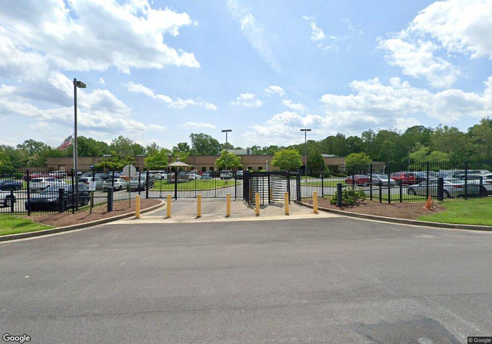
This home is located at 6835 Deerpath Rd, Elkridge, MD 21075 and is currently estimated at $12,926,760, approximately $202 per square foot. 6835 Deerpath Rd is a home located in Howard County with nearby schools including Hanover Hills Elementary, Thomas Viaduct Middle School, and Oakland Mills High School.
Ownership History
We collect this data history from publicly available records. To have your information removed, we recommend requesting removal directly through your county’s website.
Purchase Details
Purchase Details
Home Values in the Area
Average Home Value in this Area
Purchase History
We collect this data history from publicly available records. To have your information removed, we recommend requesting removal directly through your county’s website.
| Date | Buyer | Sale Price | Title Company |
|---|---|---|---|
| $3,800,000 | -- | ||
| $3,830,000 | -- |
Mortgage History
We collect this data history from publicly available records. To have your information removed, we recommend requesting removal directly through your county’s website.
| Date | Status | Borrower | Loan Amount |
|---|---|---|---|
| Open | $29,000,000 |
Tax History
We collect this data history from publicly available records. To have your information removed, we recommend requesting removal directly through your county’s website.
| Year | Tax Paid | Tax Assessment Tax Assessment Total Assessment is a certain percentage of the fair market value that is determined by local assessors to be the total taxable value of land and additions on the property. | Land | Improvement |
|---|---|---|---|---|
| 2025 | $192,783 | $12,538,000 | $1,514,200 | $11,023,800 |
| 2024 | $192,783 | $12,538,000 | $1,514,200 | $11,023,800 |
| 2023 | $184,902 | $12,538,000 | $1,514,200 | $11,023,800 |
| 2022 | $168,433 | $11,391,867 | $0 | $0 |
| 2021 | $151,964 | $10,245,733 | $0 | $0 |
| 2020 | $135,495 | $9,099,600 | $1,514,200 | $7,585,400 |
| 2019 | $125,978 | $8,736,367 | $0 | $0 |
| 2018 | $120,062 | $8,373,133 | $0 | $0 |
| 2017 | $115,633 | $8,009,900 | $0 | $0 |
| 2016 | -- | $7,887,933 | $0 | $0 |
| 2015 | -- | $7,765,967 | $0 | $0 |
| 2014 | -- | $7,644,000 | $0 | $0 |
Map
- 7239 Lyndsey Way
- 6912 Scarlet Oaks Dr
- 7138 Station House Rd
- 6943 Linden Ave
- 6941 Linden Ave
- 6937 Linden Ave
- 6935 Linden Ave
- 1929 Barolo Blvd
- 1923 Barolo Blvd
- 7583 Marston Way
- 7564 Warburg Way
- 7062 Foxton Way
- 7167 Ohio Ave
- 7312 Harlow Way Unit B
- 6921 Norwood Ferry
- 7120 Beaumont Place
- 6926 Red Clay Forge
- 7024 Rackham Way
- 6884 Tasker Falls
- 6420 Ivy Terrace
- 6900 Dorsey Rd
- 6855 Deerpath Rd
- 6845 Deerpath Rd
- 883 Lennox Ave
- 879 Lennox Ave
- 6880 Dorsey Rd
- 6875 Dorsey Rd
- 6908 Magnolia Ave
- 6901 Magnolia Ave
- 6874 Dorsey Rd
- 6937 Dorsey Rd
- 6872 Dorsey Rd
- 6905 Magnolia Ave
- 6801 Douglas Legum Dr Unit D
- 6801 Douglas Legum Dr Unit 120
- 6801 Douglas Legum Dr Unit 105
- 6801 Douglas Legum Dr Unit C
- 6801 Douglas Legum Dr Unit 130
- 6801 Douglas Legum Dr Unit 115
- 6801 Douglas Legum Dr Unit 1
Ask me questions while you tour the home.