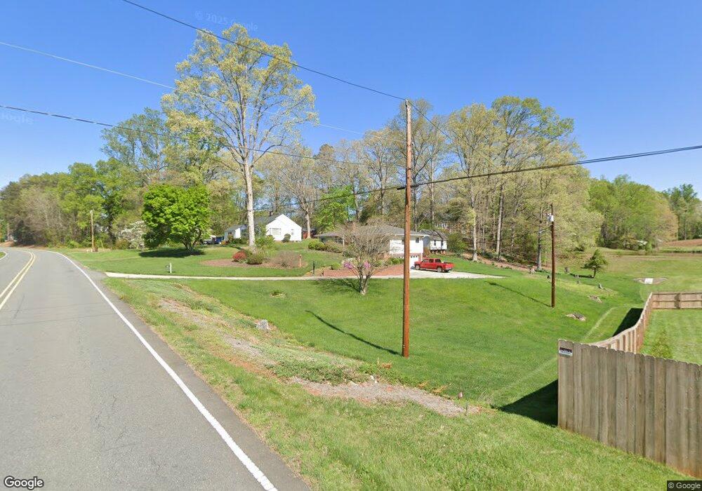
6835 Robinhood Rd Pfafftown, NC 27040
Estimated Value: $260,000 - $290,000
About This Home
This home is located at 6835 Robinhood Rd, Pfafftown, NC 27040 and is currently estimated at $275,620, approximately $179 per square foot. 6835 Robinhood Rd is a home located in Forsyth County with nearby schools including Vienna Elementary School, Lewisville Middle, and Ronald W. Reagan High School.
Ownership History
We collect this data history from publicly available records. To have your information removed, we recommend requesting removal directly through your county’s website.
Purchase Details
Purchase Details
Purchase History
We collect this data history from publicly available records. To have your information removed, we recommend requesting removal directly through your county’s website.
| Date | Buyer | Sale Price | Title Company |
|---|---|---|---|
| -- | None Listed On Document | ||
| $1,000 | -- |
Tax History
We collect this data history from publicly available records. To have your information removed, we recommend requesting removal directly through your county’s website.
| Year | Tax Paid | Tax Assessment Tax Assessment Total Assessment is a certain percentage of the fair market value that is determined by local assessors to be the total taxable value of land and additions on the property. | Land | Improvement |
|---|---|---|---|---|
| 2025 | $1,221 | $206,700 | $37,000 | $169,700 |
| 2024 | $1,171 | $124,100 | $27,000 | $97,100 |
| 2023 | $1,171 | $124,100 | $27,000 | $97,100 |
| 2022 | $1,171 | $124,100 | $27,000 | $97,100 |
| 2021 | $1,171 | $124,100 | $27,000 | $97,100 |
| 2020 | $1,231 | $121,500 | $23,100 | $98,400 |
| 2019 | $1,243 | $121,500 | $23,100 | $98,400 |
| 2018 | $1,190 | $121,500 | $23,100 | $98,400 |
| 2016 | $826 | $83,957 | $23,100 | $60,857 |
| 2015 | $868 | $83,957 | $23,100 | $60,857 |
| 2014 | $861 | $83,957 | $23,100 | $60,857 |
Map
- 6595 Jonathan St
- 1519 Runabout Rd
- 7344 Ridgecrest Trail
- 7326 Ridgecrest Trail
- 1205 Meadowgate Ln
- 7260 Shadowridge Dr
- 1035 Laurel Creek Ln
- 6163 & 6167 Olde Fields Way
- 6158 Olde Fields Way
- 7111 Conrad Farm Rd
- 0 Conrad Rd
- 0 Conrad Rd
- 115 Honeyridge Ct
- 140 Honeyridge Ct
- 2186 Vienna Dozier Rd
- 2113 Benwicke Dr
- 2071 Spring Wind Rd
- 0 Lewisville Vienna Rd
- 7340 Franklin Rd
- 217 Riverwood Dr
- 6845 Robinhood Rd
- 6750 Leward Rd
- 3501 Beroth Cir
- 3531 Beroth Cir
- 6760 Leward Rd
- 6850 Robinhood Rd
- 3557 Beroth Cir
- 6770 Leward Rd
- 3501 Manoa Rd
- 3530 Beroth Cir
- 3520 Beroth Cir
- 6761 Leward Rd
- 3521 Manoa Rd
- 3540 Beroth Cir
- 6898 Robinhood Rd
- 3565 Beroth Cir
- 3550 Beroth Cir
- 6771 Leward Rd
- 121 Shore Craft Dr
- 3558 Beroth Cir
Ask me questions while you tour the home.