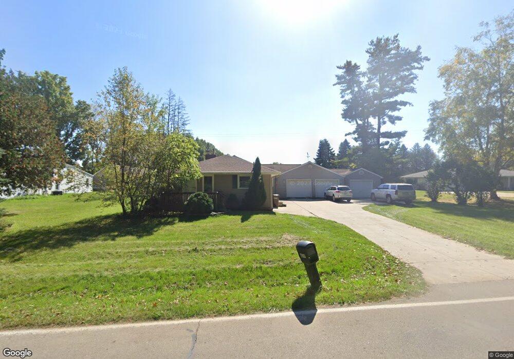
6839 Carter Rd Spring Arbor, MI 49283
Estimated Value: $710,000 - $1,362,135
5
Beds
6
Baths
5,806
Sq Ft
$178/Sq Ft
Est. Value
About This Home
This home is located at 6839 Carter Rd, Spring Arbor, MI 49283 and is currently estimated at $1,036,068, approximately $178 per square foot. 6839 Carter Rd is a home located in Jackson County with nearby schools including Western High School and Trinity Lutheran School.
Ownership History
Date
Name
Owned For
Owner Type
Purchase Details
Closed on
Jun 15, 2009
Sold by
Ganton Lloyd G and Ganton Restated Revoca Lloyd G
Bought by
Buchholz Paul F and Buchholz Karol
Current Estimated Value
Create a Home Valuation Report for This Property
The Home Valuation Report is an in-depth analysis detailing your home's value as well as a comparison with similar homes in the area
Purchase History
We collect this data history from publicly available records. To have your information removed, we recommend requesting removal directly through your county’s website.
| Date | Buyer | Sale Price | Title Company |
|---|---|---|---|
| Buchholz Paul F | -- | At |
Source: Public Records
Tax History
| Year | Tax Paid | Tax Assessment Tax Assessment Total Assessment is a certain percentage of the fair market value that is determined by local assessors to be the total taxable value of land and additions on the property. | Land | Improvement |
|---|---|---|---|---|
| 2025 | $9,323 | $653,100 | $0 | $0 |
| 2024 | $79 | $427,400 | $0 | $0 |
| 2023 | $7,927 | $412,100 | $0 | $0 |
| 2022 | $12,116 | $378,900 | $0 | $0 |
| 2021 | $11,897 | $349,340 | $0 | $0 |
| 2020 | $11,754 | $365,940 | $0 | $0 |
| 2019 | $11,174 | $348,200 | $0 | $0 |
| 2018 | $11,134 | $334,920 | $9,870 | $325,050 |
| 2017 | $9,974 | $310,850 | $0 | $0 |
| 2016 | $6,365 | $308,410 | $308,410 | $0 |
| 2015 | $261,579 | $300,670 | $300,670 | $0 |
| 2014 | $261,579 | $273,740 | $273,740 | $0 |
| 2013 | -- | $273,740 | $273,740 | $0 |
Source: Public Records
Map
Nearby Homes
- 3824 Moscow Rd
- 123 Teft Rd
- V/L S Dearing Rd Unit 40 Acres Vacant Land
- 5241 Moscow Rd
- 3764 Chapel Rd
- 3130 Daggitt Dr
- 181 Remington Dr
- 7315 King Rd
- 6405 King Rd
- 68 Dickens St
- 2073 Elwood Blvd Unit 36
- 2089 Elwood Blvd Unit 27
- 6316 Moscow Rd
- 8257 Lockerbie Dr
- 7969 Brandon Dr
- 7870 Sears Rd
- 6820 Bowerman Rd
- 8700 King Rd
- 0 Mccain Rd
- V/L Ikram Oaks Ln Unit 23
- 6839 Carter Rd
- 6835 Carter Rd
- 6861 Carter Rd Unit 15
- 6836 Carter Rd
- 6850 Carter Rd
- 6865 Carter Rd
- 6817 Carter Rd
- 6875 Carter Rd
- 6870 Carter Rd
- 6760 Carter Rd
- 6901 Carter Rd
- 6395 Carter Rd
- 6740 Carter Rd
- 6732 Carter Rd
- 6715 Carter Rd
- 6700 Carter Rd
- 127 Blenheim Dr
- 127 Blenheim Dr
- 6955 Carter Rd
- 6535 Carter Rd
Your Personal Tour Guide
Ask me questions while you tour the home.