685 Currahee Point Toccoa, GA 30577
Estimated Value: $467,439 - $802,000
About This Home
This home is located at 685 Currahee Point, Toccoa, GA 30577 and is currently estimated at $616,360, approximately $328 per square foot. 685 Currahee Point is a home located in Stephens County with nearby schools including Stephens County High School.
Ownership History
We collect this data history from publicly available records. To have your information removed, we recommend requesting removal directly through your county’s website.
Purchase Details
Purchase Details
Purchase Details
Purchase Details
Purchase Details
Purchase History
We collect this data history from publicly available records. To have your information removed, we recommend requesting removal directly through your county’s website.
| Date | Buyer | Sale Price | Title Company |
|---|---|---|---|
| $20,000 | -- | ||
| $20,000 | -- | ||
| $49,900 | -- | ||
| $49,900 | -- | ||
| $16,000 | -- | ||
| $16,000 | -- | ||
| $8,500 | -- | ||
| $8,500 | -- | ||
| $9,000 | -- | ||
| $9,000 | -- |
Tax History
We collect this data history from publicly available records. To have your information removed, we recommend requesting removal directly through your county’s website.
| Year | Tax Paid | Tax Assessment Tax Assessment Total Assessment is a certain percentage of the fair market value that is determined by local assessors to be the total taxable value of land and additions on the property. | Land | Improvement |
|---|---|---|---|---|
| 2025 | $2,447 | $150,491 | $7,895 | $142,596 |
| 2024 | $1,939 | $98,739 | $7,895 | $90,844 |
| 2023 | $2,682 | $92,081 | $7,895 | $84,186 |
| 2022 | $1,830 | $61,477 | $7,895 | $53,582 |
| 2021 | $247 | $7,895 | $7,895 | $0 |
| 2020 | $249 | $7,895 | $7,895 | $0 |
| 2019 | $560 | $17,660 | $17,660 | $0 |
| 2018 | $560 | $17,660 | $17,660 | $0 |
| 2017 | $569 | $17,660 | $17,660 | $0 |
| 2016 | $560 | $17,660 | $17,660 | $0 |
| 2015 | $586 | $17,660 | $17,660 | $0 |
| 2014 | $596 | $17,660 | $17,660 | $0 |
| 2013 | -- | $17,660 | $17,660 | $0 |
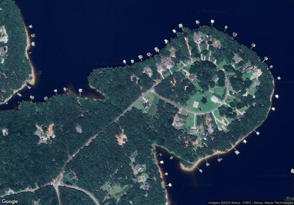
Map
- 49 Currahee Point
- 604 Mckinney Way
- 608 Mckinney Way
- 78 River Ridge Rd Unit 29
- 529 Chase Landing Rd
- 18 Water Course Way
- 384 Lakemont Dr
- 110 Woodcliff Rd
- 332 Two Rivers Dr
- 223 Brookside Dr
- Lot 9 Block A Brookside Dr
- 333 Oliver Rd
- LOT 7 Springview Dr
- 0 Springview Dr Unit 21515079
- 0 Springview Dr Unit 18549576
- 123 Ridgemore Cir
- 0 Cheyenne Trail Unit 10711355
- Lot 31 N Shores Dr
- 502 Leprechaun Ln
- 773 Shorewood Cir
- 0 Currahee Point Unit LOT 9 2841734
- 0 Currahee Point Unit LT 33 3232723
- 0 Currahee Point Unit 27A 3284002
- 0 Currahee Point Unit 33 7002845
- 0 Currahee Point Unit 7087012
- 685 Currahee Point Unit LOT 33
- 685 Currahee Point Unit 33 SECTION 2
- 687 Currahee Point
- 18B Circle E
- 18A Currahee Point Unit Circle East
- 172 Currahee Point
- 651 Currahee Point
- 269 Currahee Point
- 299 Currahee Point
- 621 Currahee Point
- 317 Currahee Point
- 337 Currahee Point
- 604 Currahee Point
- 154 Currahee Point
- 364 Currahee Point
Ask me questions while you tour the home.