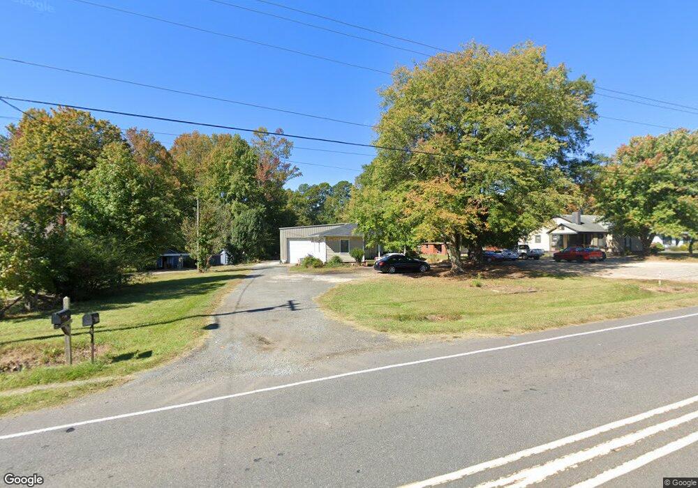
685 N Main St Troutman, NC 28166
Estimated Value: $291,000 - $340,000
2
Beds
1
Bath
760
Sq Ft
$418/Sq Ft
Est. Value
About This Home
This home is located at 685 N Main St, Troutman, NC 28166 and is currently estimated at $317,490, approximately $417 per square foot. 685 N Main St is a home located in Iredell County with nearby schools including Troutman Elementary School, Troutman Middle School, and South Iredell High School.
Ownership History
Date
Name
Owned For
Owner Type
Purchase Details
Closed on
Sep 1, 2006
Sold by
Ervin Thomas Jeffrey and Ervin Gail S
Bought by
Guill Ronald A
Current Estimated Value
Purchase Details
Closed on
May 28, 1998
Sold by
Ervin Thomas Jefferson and Ervin Jean H
Bought by
Ervin Thomas Jeffrey and Ervin Gail S
Home Financials for this Owner
Home Financials are based on the most recent Mortgage that was taken out on this home.
Original Mortgage
$66,802
Interest Rate
7.11%
Mortgage Type
Purchase Money Mortgage
Purchase Details
Closed on
Apr 1, 1997
Purchase Details
Closed on
Dec 1, 1991
Purchase Details
Closed on
Jun 1, 1964
Create a Home Valuation Report for This Property
The Home Valuation Report is an in-depth analysis detailing your home's value as well as a comparison with similar homes in the area
Home Values in the Area
Average Home Value in this Area
Purchase History
| Date | Buyer | Sale Price | Title Company |
|---|---|---|---|
| Guill Ronald A | $190,000 | None Available | |
| Ervin Thomas Jeffrey | -- | -- | |
| -- | $67,000 | -- | |
| -- | $59,500 | -- | |
| -- | $6,600 | -- |
Source: Public Records
Mortgage History
| Date | Status | Borrower | Loan Amount |
|---|---|---|---|
| Previous Owner | Ervin Thomas Jeffrey | $66,802 |
Source: Public Records
Tax History
| Year | Tax Paid | Tax Assessment Tax Assessment Total Assessment is a certain percentage of the fair market value that is determined by local assessors to be the total taxable value of land and additions on the property. | Land | Improvement |
|---|---|---|---|---|
| 2025 | $2,044 | $225,810 | $165,920 | $59,890 |
| 2024 | $2,044 | $225,810 | $165,920 | $59,890 |
| 2023 | $2,544 | $225,810 | $165,920 | $59,890 |
| 2022 | $2,299 | $193,450 | $132,740 | $60,710 |
| 2021 | $2,276 | $193,450 | $132,740 | $60,710 |
| 2020 | $1,826 | $193,450 | $132,740 | $60,710 |
| 2019 | $2,227 | $193,450 | $132,740 | $60,710 |
| 2018 | $2,272 | $198,630 | $132,740 | $65,890 |
| 2017 | $2,272 | $198,630 | $132,740 | $65,890 |
| 2016 | $2,272 | $198,630 | $132,740 | $65,890 |
| 2015 | $2,172 | $198,630 | $132,740 | $65,890 |
| 2014 | $2,140 | $204,720 | $132,740 | $71,980 |
Source: Public Records
Map
Nearby Homes
- 107 Autumn Frost Ave
- 105 Summer Breeze Ct
- 186 Autumn Frost Ave
- 00 Murdock Rd
- 000 Murdock Rd
- 138 Pacific Dr
- 107 Parmiter Way E
- 107 Parmiter Way Twne C
- 107 Parmiter Way Unit B
- 107 Parmiter Way Unit A
- 107 Parmiter Way
- 107 Parmiter Way Unit D
- 107 Parmiter Way Unit C
- 107 Parmiter Way Unit E
- 108 Parmiter Way Unit D
- 108 Parmiter Way Unit C
- 108 Parmiter Way
- 108 Parmiter Way Unit E
- 108 Parmiter Way Unit A
- 108 Parmiter Way Unit B
Your Personal Tour Guide
Ask me questions while you tour the home.