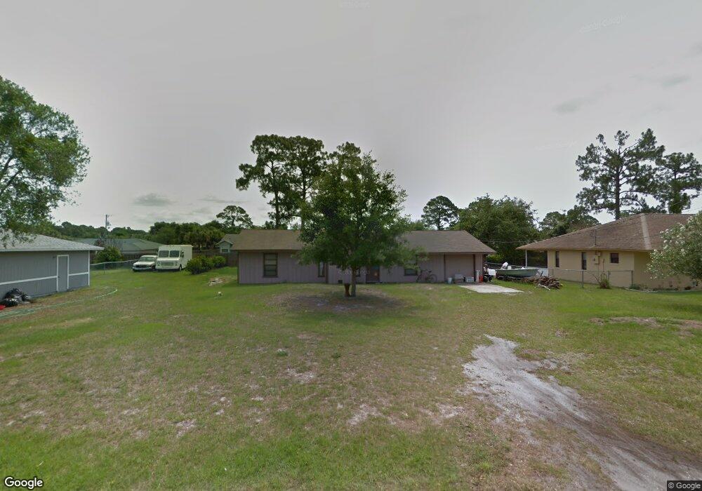
6855 Harp Ave Cocoa, FL 32927
Port Saint John AreaEstimated Value: $281,743 - $347,000
About This Home
This home is located at 6855 Harp Ave, Cocoa, FL 32927 and is currently estimated at $316,936, approximately $226 per square foot. 6855 Harp Ave is a home located in Brevard County with nearby schools including Atlantis Elementary School, Space Coast Junior/Senior High School, and Sculptor Charter School.
Ownership History
We collect this data history from publicly available records. To have your information removed, we recommend requesting removal directly through your county’s website.
Purchase Details
Home Values in the Area
Average Home Value in this Area
Purchase History
We collect this data history from publicly available records. To have your information removed, we recommend requesting removal directly through your county’s website.
| Date | Buyer | Sale Price | Title Company |
|---|---|---|---|
| $65,900 | -- |
Mortgage History
We collect this data history from publicly available records. To have your information removed, we recommend requesting removal directly through your county’s website.
| Date | Status | Borrower | Loan Amount |
|---|---|---|---|
| Open | $86,000 |
Tax History
We collect this data history from publicly available records. To have your information removed, we recommend requesting removal directly through your county’s website.
| Year | Tax Paid | Tax Assessment Tax Assessment Total Assessment is a certain percentage of the fair market value that is determined by local assessors to be the total taxable value of land and additions on the property. | Land | Improvement |
|---|---|---|---|---|
| 2025 | $1,026 | $74,910 | ||
| 2024 | $1,006 | $72,800 | ||
| 2023 | $1,006 | $70,680 | $0 | $0 |
| 2022 | $950 | $68,630 | $0 | $0 |
| 2021 | $952 | $66,640 | $0 | $0 |
| 2020 | $906 | $65,720 | $0 | $0 |
| 2019 | $854 | $64,250 | $0 | $0 |
| 2018 | $855 | $63,060 | $0 | $0 |
| 2017 | $856 | $61,770 | $0 | $0 |
| 2016 | $862 | $60,500 | $18,000 | $42,500 |
| 2015 | $869 | $60,080 | $15,000 | $45,080 |
| 2014 | $874 | $59,610 | $11,000 | $48,610 |
Map
- 5135 Market St
- 5075 Carter St
- 5160 Carter St
- 5070 Curtis Blvd
- 5155 Mayflower St
- 5075 Mayflower St
- 5165 Patricia St
- 6825 Anecia Ave
- 6990 Bryant Rd
- 4991 Falcon Blvd
- 5002 Bogey Place
- 4845 Hawley Rd
- 5170 Andover St
- 00 Unknown
- 5555 Brandon St
- 6615 Dock Ave
- 0000 Grissom Pkwy
- 6450 Ember Ave
- 6570 Dock Ave
- 4779 Alfred St
Ask me questions while you tour the home.